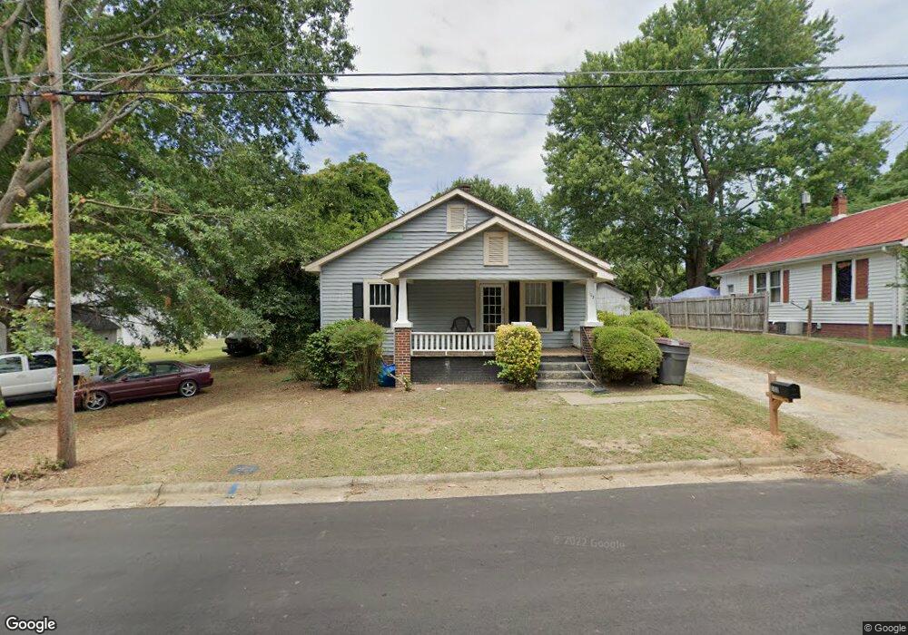
102 Hubbard St Reidsville, NC 27320
Estimated Value: $59,000 - $156,000
2
Beds
1
Bath
1,376
Sq Ft
$76/Sq Ft
Est. Value
About This Home
This home is located at 102 Hubbard St, Reidsville, NC 27320 and is currently estimated at $104,515, approximately $75 per square foot. 102 Hubbard St is a home located in Rockingham County with nearby schools including Moss Street Elementary, Reidsville High School, and Reidsville Middle School.
Ownership History
Date
Name
Owned For
Owner Type
Purchase Details
Closed on
Jul 19, 2005
Sold by
Beneficial Mortgage Co
Bought by
Nickerson Ralph W and Nickerson Jodi L
Current Estimated Value
Home Financials for this Owner
Home Financials are based on the most recent Mortgage that was taken out on this home.
Original Mortgage
$33,300
Interest Rate
5.57%
Mortgage Type
Unknown
Purchase Details
Closed on
May 24, 2005
Sold by
White Elsie L and Compton Bonnie L
Bought by
Beneficial Mortgage Co
Create a Home Valuation Report for This Property
The Home Valuation Report is an in-depth analysis detailing your home's value as well as a comparison with similar homes in the area
Home Values in the Area
Average Home Value in this Area
Purchase History
| Date | Buyer | Sale Price | Title Company |
|---|---|---|---|
| Nickerson Ralph W | $34,000 | None Available | |
| Beneficial Mortgage Co | $22,500 | None Available |
Source: Public Records
Mortgage History
| Date | Status | Borrower | Loan Amount |
|---|---|---|---|
| Closed | Nickerson Ralph W | $33,300 |
Source: Public Records
Tax History Compared to Growth
Tax History
| Year | Tax Paid | Tax Assessment Tax Assessment Total Assessment is a certain percentage of the fair market value that is determined by local assessors to be the total taxable value of land and additions on the property. | Land | Improvement |
|---|---|---|---|---|
| 2025 | $705 | $56,849 | $4,382 | $52,467 |
| 2024 | $705 | $56,849 | $4,382 | $52,467 |
| 2023 | $705 | $31,684 | $3,984 | $27,700 |
| 2022 | $454 | $31,684 | $3,984 | $27,700 |
| 2021 | $454 | $31,684 | $3,984 | $27,700 |
| 2020 | $454 | $31,684 | $3,984 | $27,700 |
| 2019 | $454 | $31,684 | $3,984 | $27,700 |
| 2018 | $530 | $36,893 | $7,731 | $29,162 |
| 2017 | $530 | $36,893 | $7,731 | $29,162 |
| 2015 | $535 | $36,893 | $7,731 | $29,162 |
| 2014 | $530 | $36,893 | $7,731 | $29,162 |
Source: Public Records
Map
Nearby Homes
- 802 Lawsonville Ave
- 806 Lawsonville Ave
- 315 Hubbard St
- 00 Robinson Cir
- 844 Robinson Cir
- 511 Barnes St
- 515 Barnes St
- 335 S Branch St
- 617 East St
- 615 East St
- 327 Church St
- 329 Church St
- 403 Pennsylvania Ave
- 502 Thomas St
- 612 Thomas St
- 312 Church St
- 613 Thomas St
- 608 Montgomery St
- 607 Lancaster Dr
- 812 Barnes St
- 104 Hubbard St
- 719 Craddock St
- 720 Lawsonville Ave
- 717 Craddock St
- 202 Hubbard St
- 716 Lawsonville Ave
- 201 Hubbard St
- 718 Craddock St
- 204 Hubbard St
- 712 Lawsonville Ave
- 203 Hubbard St
- 716 Craddock St
- 719 Lawsonville Ave
- 205 Hubbard St
- 713 Lawsonville Ave
- 803 Robinson Cir
- 801 Robinson Cir
- 801 Lawsonville Ave
- 206 Hubbard St
- 708 Lawsonville Ave