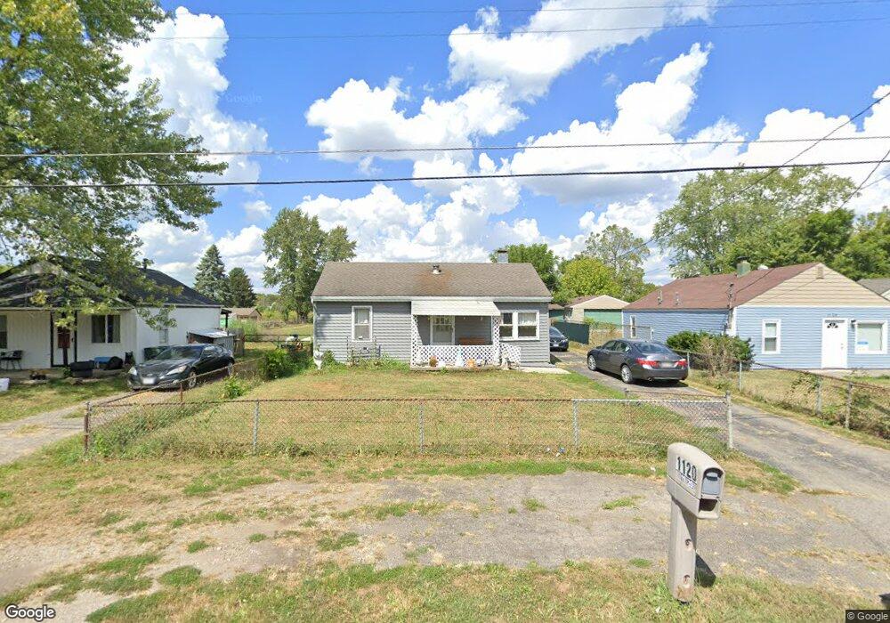
1120 Rumsey Rd Columbus, OH 43207
Obetz-Lockbourne NeighborhoodEstimated Value: $189,000 - $226,495
3
Beds
1
Bath
1,416
Sq Ft
$147/Sq Ft
Est. Value
About This Home
This home is located at 1120 Rumsey Rd, Columbus, OH 43207 and is currently estimated at $207,624, approximately $146 per square foot. 1120 Rumsey Rd is a home located in Franklin County with nearby schools including Parsons Elementary School, Buckeye Middle School, and Marion-Franklin High School.
Ownership History
Date
Name
Owned For
Owner Type
Purchase Details
Closed on
Mar 28, 2024
Sold by
Denny Stanley R and Denney Daisy M
Bought by
Denney Stanley R and Denney Daisy M
Current Estimated Value
Purchase Details
Closed on
Mar 15, 2024
Sold by
Denny Stanley R and Denney Daisy M
Bought by
Denney Stanley R and Denney Daisy M
Purchase Details
Closed on
Sep 21, 2023
Sold by
Denney Irrevocable Heritage Trust
Bought by
Denney Stanley
Purchase Details
Closed on
Aug 28, 2015
Sold by
Swyck Stanley E and Denney James W
Bought by
Denney Irrevocable Trust
Purchase Details
Closed on
Jun 20, 2000
Sold by
Denney Stanley E and Denney Monta F
Bought by
Denney Stanley E and Denney Monta F
Purchase Details
Closed on
Mar 15, 1972
Bought by
Denney Stanley E
Create a Home Valuation Report for This Property
The Home Valuation Report is an in-depth analysis detailing your home's value as well as a comparison with similar homes in the area
Home Values in the Area
Average Home Value in this Area
Purchase History
| Date | Buyer | Sale Price | Title Company |
|---|---|---|---|
| Denney Stanley R | -- | None Listed On Document | |
| Denney Stanley R | -- | None Listed On Document | |
| Denney Stanley | -- | None Listed On Document | |
| Denney Irrevocable Trust | -- | Attorney | |
| Denney Stanley E | -- | -- | |
| Denney Stanley E | -- | -- |
Source: Public Records
Tax History Compared to Growth
Tax History
| Year | Tax Paid | Tax Assessment Tax Assessment Total Assessment is a certain percentage of the fair market value that is determined by local assessors to be the total taxable value of land and additions on the property. | Land | Improvement |
|---|---|---|---|---|
| 2024 | $3,187 | $69,550 | $18,830 | $50,720 |
| 2023 | $3,082 | $69,550 | $18,830 | $50,720 |
| 2022 | $1,516 | $29,230 | $10,080 | $19,150 |
| 2021 | $1,519 | $29,230 | $10,080 | $19,150 |
| 2020 | $1,521 | $29,230 | $10,080 | $19,150 |
| 2019 | $1,512 | $24,920 | $8,750 | $16,170 |
| 2018 | $754 | $24,920 | $8,750 | $16,170 |
| 2017 | $1,511 | $24,920 | $8,750 | $16,170 |
| 2016 | $1,886 | $27,020 | $4,200 | $22,820 |
| 2015 | $836 | $27,020 | $4,200 | $22,820 |
| 2014 | $1,629 | $27,020 | $4,200 | $22,820 |
| 2013 | $845 | $28,420 | $4,410 | $24,010 |
Source: Public Records
Map
Nearby Homes
- 1124 Rumsey Rd
- 884 Bruckner Rd
- 1138 Hilock Rd Unit 35
- 1138 Hilock Rd
- 860 Basswood Rd
- 3302 Hilock Place
- 780 Basswood Rd
- 0 Williams Rd
- 3573 S Champion Ave
- 1068 Tobi Dr
- 3551 Groveport Rd
- 944 Lavender Ln
- 1292 Moundview Ave
- 989 Lavender Ln
- 3158 F Ave
- 0 F Ave Unit 224036459
- 965 Radbourne Dr
- 400 Colton Rd
- 1456 Magoffin Ave
- 1091 Vernon Dr
- 1116 Rumsey Rd
- 1128 Rumsey Rd
- 1112 Rumsey Rd
- 1108 Rumsey Rd
- 1132 Rumsey Rd
- 1136 Rumsey Rd
- 1092 Rumsey Rd
- 1140 Rumsey Rd
- 1101 Rumsey Rd
- 1105 Rumsey Rd
- 1115 Rumsey Rd
- 1090 Rumsey Rd
- 1080 Rumsey Rd
- 1093 Rumsey Rd
- 1127 Rumsey Rd
- 1085 Rumsey Rd
- 1077 Rumsey Rd
- 0 Lockbourne Rd
- 1135 Rumsey Rd
- 1075 Rumsey Rd