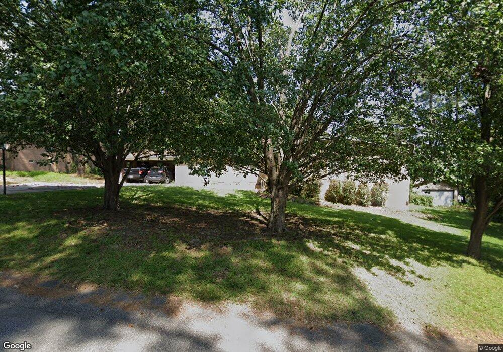
1204 Canary Dr West Columbia, SC 29169
Estimated Value: $231,000 - $303,000
--
Bed
--
Bath
--
Sq Ft
0.36
Acres
About This Home
This home is located at 1204 Canary Dr, West Columbia, SC 29169 and is currently estimated at $263,665. 1204 Canary Dr is a home located in Lexington County with nearby schools including Saluda River Academy For The Arts, Northside Middle, and Brookland-Cayce High School.
Ownership History
Date
Name
Owned For
Owner Type
Purchase Details
Closed on
Aug 4, 2016
Sold by
Scott Laurie N and Scott Michael
Bought by
Bank Of New York Mellon and Bank Of New York
Current Estimated Value
Purchase Details
Closed on
Feb 25, 2005
Sold by
Taylor Beulah P
Bought by
Scott Michael and Scott Laurie N
Home Financials for this Owner
Home Financials are based on the most recent Mortgage that was taken out on this home.
Original Mortgage
$184,800
Interest Rate
4.75%
Mortgage Type
Adjustable Rate Mortgage/ARM
Create a Home Valuation Report for This Property
The Home Valuation Report is an in-depth analysis detailing your home's value as well as a comparison with similar homes in the area
Home Values in the Area
Average Home Value in this Area
Purchase History
| Date | Buyer | Sale Price | Title Company |
|---|---|---|---|
| Bank Of New York Mellon | $120,000 | None Available | |
| Scott Michael | $231,000 | -- |
Source: Public Records
Mortgage History
| Date | Status | Borrower | Loan Amount |
|---|---|---|---|
| Open | Fant Roderick C | $126,003 | |
| Previous Owner | Scott Michael | $184,800 |
Source: Public Records
Tax History Compared to Growth
Tax History
| Year | Tax Paid | Tax Assessment Tax Assessment Total Assessment is a certain percentage of the fair market value that is determined by local assessors to be the total taxable value of land and additions on the property. | Land | Improvement |
|---|---|---|---|---|
| 2024 | $348 | $1,821 | $1,600 | $221 |
| 2023 | $348 | $1,821 | $1,600 | $221 |
| 2022 | $351 | $1,821 | $1,600 | $221 |
| 2020 | $337 | $1,821 | $1,600 | $221 |
| 2019 | $342 | $1,808 | $1,600 | $208 |
| 2018 | $346 | $1,808 | $1,600 | $208 |
| 2017 | $944 | $2,712 | $2,400 | $312 |
| 2016 | $341 | $1,808 | $1,600 | $208 |
| 2015 | $227 | $1,808 | $1,600 | $208 |
| 2014 | $227 | $1,578 | $1,386 | $192 |
| 2013 | -- | $1,580 | $1,390 | $190 |
Source: Public Records
Map
Nearby Homes
- 111 Double Branch Ct
- 108 Double Branch Ct
- 1333 Alpine Dr
- 1132 Woodland Dr
- 402 New Brookland Place
- 206 New Brookland Place Unit 206
- 1029 Riverstone Ct
- 918 Mimosa Crescent St
- 0 Sunset Blvd Unit 553428
- 2015 Morningside Dr
- 146 Sabal Dr
- 103 Saluda Mill Dr
- 1516 Sewanee Dr
- 914 Hook Ave
- 1540 Sewanee Dr
- 401 Millcrest Ln
- 612 Hook Ave
- 1712 Terrace View Dr
- 0 Platt Springs Rd Unit 606355
- 0 Platt Springs Rd Unit 605298
- 1204 Canary Dr
- 1208 Canary Dr
- 1209 Cardinal Dr
- 1201 Cardinal Dr
- 1217 Cardinal Dr
- 1217 Canary Dr
- 1212 Canary Dr
- 1221 Canary Dr
- 1800 Redbird Ln
- 1225 Cardinal Dr
- 1713 Redbird Ln
- 1705 Redbird Ln
- 1225 Canary Dr
- 1717 Redbird Ln
- 1204 Hummingbird Dr
- 1208 Hummingbird Dr
- 1300 Canary Dr
- 1721 Redbird Ln
- 1204 Cardinal Dr
- 1301 Cardinal Dr
