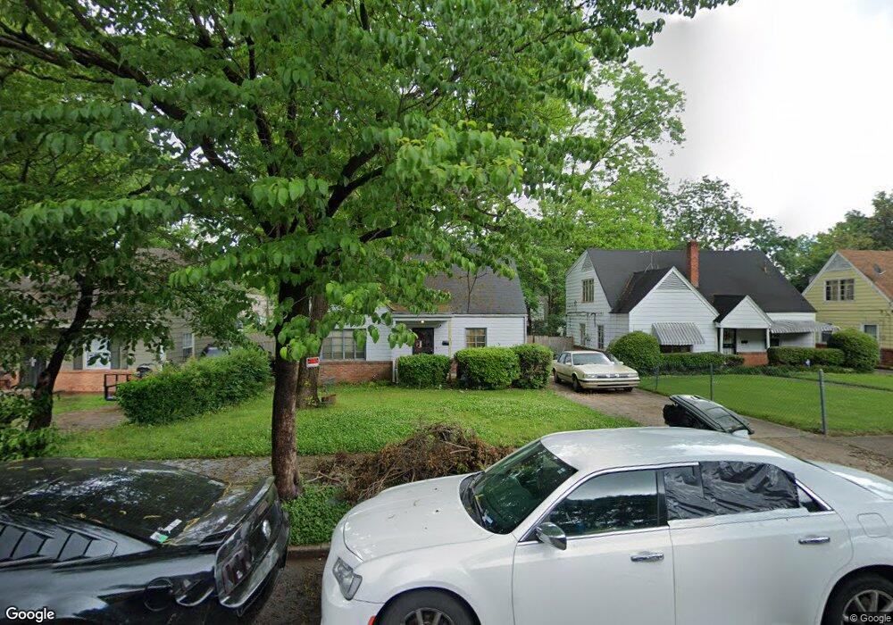
1296 Foxcroft St Memphis, TN 38111
Audubon Park NeighborhoodEstimated Value: $110,609 - $133,000
3
Beds
1
Bath
1,717
Sq Ft
$70/Sq Ft
Est. Value
About This Home
This home is located at 1296 Foxcroft St, Memphis, TN 38111 and is currently estimated at $120,652, approximately $70 per square foot. 1296 Foxcroft St is a home located in Shelby County with nearby schools including Sherwood Elementary School, Sherwood Middle, and Melrose High School.
Ownership History
Date
Name
Owned For
Owner Type
Purchase Details
Closed on
May 21, 1999
Sold by
Wendy Wilson and Wilson Tammy Wilson
Bought by
Crawford Marilyn
Current Estimated Value
Home Financials for this Owner
Home Financials are based on the most recent Mortgage that was taken out on this home.
Original Mortgage
$57,970
Interest Rate
6.84%
Mortgage Type
FHA
Create a Home Valuation Report for This Property
The Home Valuation Report is an in-depth analysis detailing your home's value as well as a comparison with similar homes in the area
Home Values in the Area
Average Home Value in this Area
Purchase History
| Date | Buyer | Sale Price | Title Company |
|---|---|---|---|
| Crawford Marilyn | $58,000 | -- |
Source: Public Records
Mortgage History
| Date | Status | Borrower | Loan Amount |
|---|---|---|---|
| Open | Crawford Marilyn A | $13,190 | |
| Closed | Crawford Marilyn A | $1,648 | |
| Open | Crawford Marilyn A | $61,732 | |
| Closed | Crawford Marilyn | $57,970 |
Source: Public Records
Tax History Compared to Growth
Tax History
| Year | Tax Paid | Tax Assessment Tax Assessment Total Assessment is a certain percentage of the fair market value that is determined by local assessors to be the total taxable value of land and additions on the property. | Land | Improvement |
|---|---|---|---|---|
| 2025 | $514 | $24,525 | $4,250 | $20,275 |
| 2024 | $514 | $15,150 | $2,200 | $12,950 |
| 2023 | $923 | $15,150 | $2,200 | $12,950 |
| 2022 | $923 | $15,150 | $2,200 | $12,950 |
| 2021 | $934 | $15,150 | $2,200 | $12,950 |
| 2020 | $873 | $12,050 | $2,200 | $9,850 |
| 2019 | $873 | $12,050 | $2,200 | $9,850 |
| 2018 | $873 | $12,050 | $2,200 | $9,850 |
| 2017 | $495 | $12,050 | $2,200 | $9,850 |
| 2016 | $498 | $11,400 | $0 | $0 |
| 2014 | $498 | $11,400 | $0 | $0 |
Source: Public Records
Map
Nearby Homes
- 1316 Foxcroft St
- 1307 Foxcroft St
- 3655 S Deerwood Ave
- 3550 Philsdale Ave
- 3787 Rhodes Ave
- 3776 Kimball Ave
- 3507 Kimball Ave
- 3443 Barron Ave
- 3630 Wilshire Rd
- 3811 Vanuys Rd
- 3845 Kimball Ave
- 1327 S Prescott St
- 1078 E Walthal Cir
- 3909 Fizer Ave
- 1274 Railton Rd
- 1558 Patterson St
- 1083 W Walthal Cir
- 3788 Healey Rd
- 1322 Partee Cove
- 1068 Goodman St
- 1300 Foxcroft St
- 1290 Foxcroft St
- 1306 Foxcroft St
- 1297 Tyne St
- 1301 Tyne St
- 1291 Tyne St
- 3641 Barron Ave
- 3643 Barron Ave
- 1310 Foxcroft St
- 1307 Tyne St
- 3651 Barron Ave
- 1291 Foxcroft St
- 1311 Tyne St
- 1281 Tyne St
- 3631 Barron Ave
- 1311 Foxcroft St
- 1317 Tyne St
- 3621 Barron Ave
- 1315 Foxcroft St
- 1320 Foxcroft St