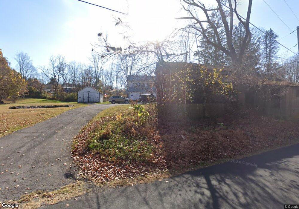
131 Vail Rd Columbia, NJ 07832
Estimated Value: $269,242 - $483,000
--
Bed
--
Bath
1,208
Sq Ft
$297/Sq Ft
Est. Value
About This Home
This home is located at 131 Vail Rd, Columbia, NJ 07832 and is currently estimated at $358,311, approximately $296 per square foot. 131 Vail Rd is a home located in Warren County with nearby schools including Knowlton Township Elementary School and North Warren Regional School.
Ownership History
Date
Name
Owned For
Owner Type
Purchase Details
Closed on
Nov 20, 1976
Bought by
Wysowaty Walter and Wysowaty Helen
Current Estimated Value
Create a Home Valuation Report for This Property
The Home Valuation Report is an in-depth analysis detailing your home's value as well as a comparison with similar homes in the area
Home Values in the Area
Average Home Value in this Area
Purchase History
| Date | Buyer | Sale Price | Title Company |
|---|---|---|---|
| Wysowaty Walter | $57,000 | -- |
Source: Public Records
Mortgage History
| Date | Status | Borrower | Loan Amount |
|---|---|---|---|
| Open | Wysowaty Walter | $152,000 | |
| Closed | Wysowaty Helen | $87,150 | |
| Closed | Wysowaty Walter | $80,000 | |
| Closed | Wysowaty Helen | $116,000 |
Source: Public Records
Tax History Compared to Growth
Tax History
| Year | Tax Paid | Tax Assessment Tax Assessment Total Assessment is a certain percentage of the fair market value that is determined by local assessors to be the total taxable value of land and additions on the property. | Land | Improvement |
|---|---|---|---|---|
| 2025 | $6,793 | $170,600 | $94,600 | $76,000 |
| 2024 | $6,648 | $170,600 | $94,600 | $76,000 |
| 2023 | $6,450 | $170,600 | $94,600 | $76,000 |
| 2022 | $6,450 | $170,600 | $94,600 | $76,000 |
| 2021 | $5,922 | $170,600 | $94,600 | $76,000 |
| 2020 | $6,140 | $170,600 | $94,600 | $76,000 |
| 2019 | $5,889 | $170,600 | $94,600 | $76,000 |
| 2018 | $5,889 | $170,600 | $94,600 | $76,000 |
| 2017 | $5,826 | $170,600 | $94,600 | $76,000 |
| 2016 | $5,700 | $170,600 | $94,600 | $76,000 |
| 2015 | $5,632 | $170,600 | $94,600 | $76,000 |
| 2014 | $5,439 | $170,600 | $94,600 | $76,000 |
Source: Public Records
Map
Nearby Homes
- 68 Countryside Rd
- 7 Poppys Ct
- 162 Polkville Rd
- 11 Kill Rd
- 49 Kishpaugh Rd
- 471 State Route 94
- 470 State Route 94 Unit 2
- 20 Polkville Rd
- 7 Kishpaugh Rd
- 2 Frontage Rd
- 44 Mount Pleasant Rd
- 49 Mount Pleasant Rd
- 43 Lime Kiln Rd
- 78 Lime Kiln Rd
- 38 Stark Rd
- 69 Mount Pleasant Rd
- 0 Cedar Lake Rd Unit 3936605
- 31 Hemlock Rd
- 7 Gap View Dr
- 11 Cemetery Rd