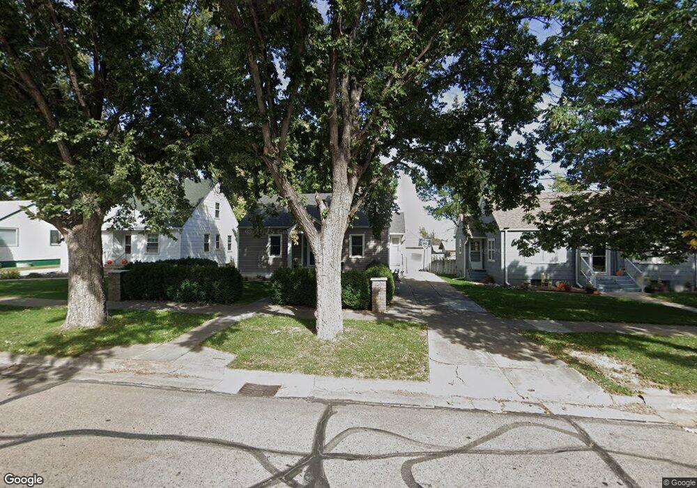
131 W O St Mc Cook, NE 69001
Estimated Value: $145,000 - $180,000
2
Beds
2
Baths
858
Sq Ft
$187/Sq Ft
Est. Value
About This Home
This home is located at 131 W O St, Mc Cook, NE 69001 and is currently estimated at $160,282, approximately $186 per square foot. 131 W O St is a home located in Red Willow County with nearby schools including McCook Elementary School, Central Elementary School, and McCook Junior High School.
Ownership History
Date
Name
Owned For
Owner Type
Purchase Details
Closed on
May 6, 2008
Sold by
Mangers Trista E and Mangers Mitch
Bought by
Hancock Benjamin A and Hancock Danielle C
Current Estimated Value
Home Financials for this Owner
Home Financials are based on the most recent Mortgage that was taken out on this home.
Original Mortgage
$67,200
Outstanding Balance
$42,513
Interest Rate
5.86%
Mortgage Type
New Conventional
Estimated Equity
$117,769
Purchase Details
Closed on
May 2, 2005
Sold by
Loghry William K and Loghry Leann R
Bought by
Hansen Trista E
Home Financials for this Owner
Home Financials are based on the most recent Mortgage that was taken out on this home.
Original Mortgage
$53,200
Interest Rate
6.06%
Mortgage Type
New Conventional
Create a Home Valuation Report for This Property
The Home Valuation Report is an in-depth analysis detailing your home's value as well as a comparison with similar homes in the area
Home Values in the Area
Average Home Value in this Area
Purchase History
| Date | Buyer | Sale Price | Title Company |
|---|---|---|---|
| Hancock Benjamin A | $69,000 | -- | |
| Hansen Trista E | $67,000 | -- |
Source: Public Records
Mortgage History
| Date | Status | Borrower | Loan Amount |
|---|---|---|---|
| Open | Hancock Benjamin A | $67,200 | |
| Previous Owner | Hansen Trista E | $53,200 |
Source: Public Records
Tax History Compared to Growth
Tax History
| Year | Tax Paid | Tax Assessment Tax Assessment Total Assessment is a certain percentage of the fair market value that is determined by local assessors to be the total taxable value of land and additions on the property. | Land | Improvement |
|---|---|---|---|---|
| 2024 | $1,588 | $120,564 | $12,250 | $108,314 |
| 2023 | $1,825 | $110,851 | $12,250 | $98,601 |
| 2022 | $1,779 | $101,792 | $10,500 | $91,292 |
| 2021 | $1,682 | $92,298 | $10,500 | $81,798 |
| 2020 | $1,294 | $71,067 | $4,900 | $66,167 |
| 2019 | $1,284 | $71,067 | $4,900 | $66,167 |
| 2018 | $1,268 | $71,067 | $4,900 | $66,167 |
| 2017 | $1,229 | $71,067 | $4,900 | $66,167 |
| 2016 | $1,103 | $63,978 | $4,900 | $59,078 |
| 2015 | $1,074 | $63,978 | $4,900 | $59,078 |
| 2014 | $993 | $56,369 | $4,900 | $51,469 |
Source: Public Records
Map
Nearby Homes
- 0 Club House Dr
- 811 W S St
- 813 W S St
- 0 Spruce Rd
- 405 E 5th St
- 1603 E I St
- 1401 E C St
- 71763 Road 386
- 71653 Road 383
- Tbd Drive 388
- Indianol Unit a NE 69034
- 0 Indianola Grass Dryland and Acreage Unit 11587615
- 424 N 6th St
- 312 Tate Ave
- 102 W Decatur
- 0 Road 401
- 0 Tbd County Road 367
- 71437 Ridnour Dr
- 36311 Old Highway 34
- 445 Palermo Ave