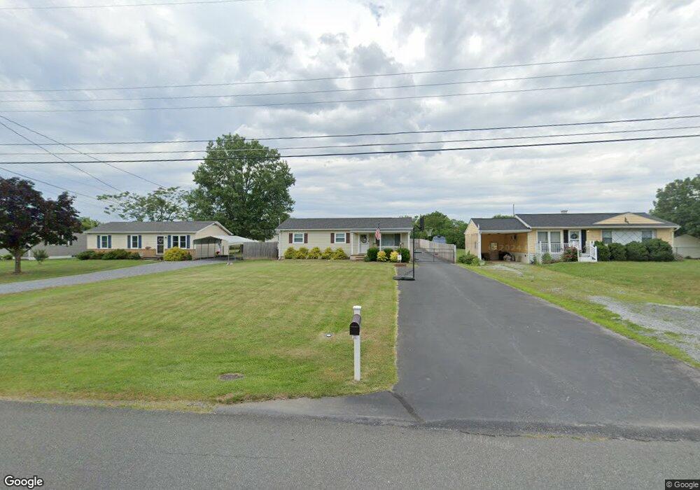
132 Sunset Dr Winchester, VA 22602
Estimated Value: $349,946 - $384,000
3
Beds
2
Baths
1,288
Sq Ft
$286/Sq Ft
Est. Value
About This Home
This home is located at 132 Sunset Dr, Winchester, VA 22602 and is currently estimated at $367,987, approximately $285 per square foot. 132 Sunset Dr is a home located in Frederick County with nearby schools including Admiral Richard E. Byrd Middle School, Millbrook High School, and Sharon's Centre.
Ownership History
Date
Name
Owned For
Owner Type
Purchase Details
Closed on
Apr 25, 2002
Sold by
Campbell Kevin L
Bought by
Eaton Kristopher S
Current Estimated Value
Home Financials for this Owner
Home Financials are based on the most recent Mortgage that was taken out on this home.
Original Mortgage
$115,000
Outstanding Balance
$48,489
Interest Rate
7.05%
Estimated Equity
$319,498
Create a Home Valuation Report for This Property
The Home Valuation Report is an in-depth analysis detailing your home's value as well as a comparison with similar homes in the area
Home Values in the Area
Average Home Value in this Area
Purchase History
| Date | Buyer | Sale Price | Title Company |
|---|---|---|---|
| Eaton Kristopher S | $115,000 | -- |
Source: Public Records
Mortgage History
| Date | Status | Borrower | Loan Amount |
|---|---|---|---|
| Open | Eaton Kristopher S | $115,000 |
Source: Public Records
Tax History
| Year | Tax Paid | Tax Assessment Tax Assessment Total Assessment is a certain percentage of the fair market value that is determined by local assessors to be the total taxable value of land and additions on the property. | Land | Improvement |
|---|---|---|---|---|
| 2025 | $1,516 | $315,820 | $93,000 | $222,820 |
| 2024 | $671 | $263,000 | $77,000 | $186,000 |
| 2023 | $1,341 | $263,000 | $77,000 | $186,000 |
| 2022 | $1,338 | $219,400 | $72,000 | $147,400 |
| 2021 | $1,338 | $219,400 | $72,000 | $147,400 |
| 2020 | $1,150 | $188,600 | $72,000 | $116,600 |
| 2019 | $1,150 | $188,600 | $72,000 | $116,600 |
| 2018 | $1,084 | $177,700 | $72,000 | $105,700 |
| 2017 | $1,066 | $177,700 | $72,000 | $105,700 |
| 2016 | $972 | $162,000 | $59,500 | $102,500 |
| 2015 | $907 | $162,000 | $59,500 | $102,500 |
| 2014 | $455 | $153,300 | $59,500 | $93,800 |
Source: Public Records
Map
Nearby Homes
- 105 Amberfield Ct
- 619 Farmington Blvd
- 102 Brockham Ct
- 100 Brockham Ct
- 251 Rossmann Blvd
- 253 Rossmann Blvd
- 104 Monet Terrace
- 221 Broad Ave
- 151 Mccormick Cir Unit 201
- 151 Mccormick Cir Unit 203
- 2015 Senseny Rd
- 211 Lynnehaven Dr
- 116 Maury Way
- 101 Maury Way
- 0 7 Building Lots In Shawneeland Unit VAFV2032844
- 0 Grocery Ave Unit VAFV2015654
- 225 Farmington Blvd
- 219 Lehigh Dr
- 216 Lehigh Dr
- 144 Morning Glory Dr
Your Personal Tour Guide
Ask me questions while you tour the home.