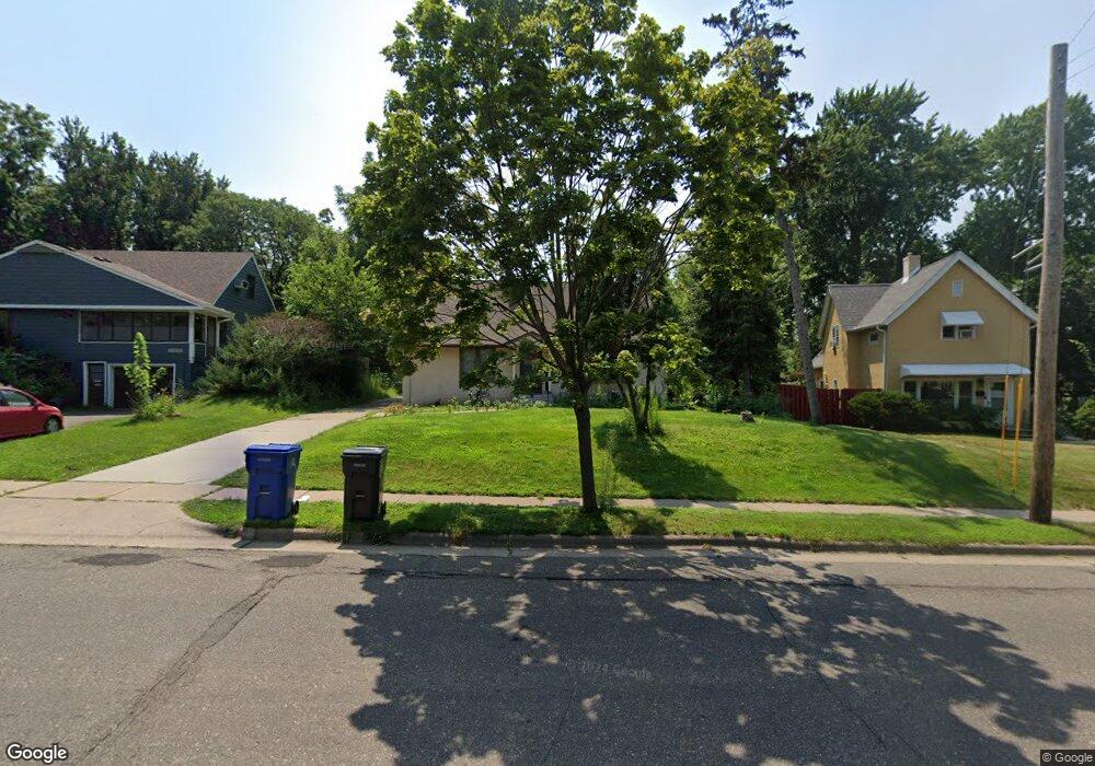
1536 Burns Ave Saint Paul, MN 55106
Battle Creek NeighborhoodEstimated Value: $301,598 - $334,000
4
Beds
1
Bath
2,410
Sq Ft
$129/Sq Ft
Est. Value
About This Home
This home is located at 1536 Burns Ave, Saint Paul, MN 55106 and is currently estimated at $310,900, approximately $129 per square foot. 1536 Burns Ave is a home located in Ramsey County with nearby schools including Highwood Hills Elementary School, Battle Creek Middle School, and Harding Senior High School.
Ownership History
Date
Name
Owned For
Owner Type
Purchase Details
Closed on
Dec 7, 2020
Sold by
Sws Real Estate Llc
Bought by
Yang Na and Yang Mainhia Xiong
Current Estimated Value
Home Financials for this Owner
Home Financials are based on the most recent Mortgage that was taken out on this home.
Original Mortgage
$14,000
Outstanding Balance
$8,067
Interest Rate
2.8%
Mortgage Type
Commercial
Estimated Equity
$302,833
Purchase Details
Closed on
Sep 13, 1996
Sold by
Lang Robert G and Lange Irene M
Bought by
Adapted Living Real Estate Partnership
Create a Home Valuation Report for This Property
The Home Valuation Report is an in-depth analysis detailing your home's value as well as a comparison with similar homes in the area
Home Values in the Area
Average Home Value in this Area
Purchase History
| Date | Buyer | Sale Price | Title Company |
|---|---|---|---|
| Yang Na | $225,000 | Burnet Title | |
| Adapted Living Real Estate Partnership | $101,900 | -- | |
| Yang Na Na | $225,000 | -- |
Source: Public Records
Mortgage History
| Date | Status | Borrower | Loan Amount |
|---|---|---|---|
| Open | Yang Na | $14,000 | |
| Open | Yang Na | $218,250 | |
| Closed | Yang Na Na | $225,000 |
Source: Public Records
Tax History Compared to Growth
Tax History
| Year | Tax Paid | Tax Assessment Tax Assessment Total Assessment is a certain percentage of the fair market value that is determined by local assessors to be the total taxable value of land and additions on the property. | Land | Improvement |
|---|---|---|---|---|
| 2025 | $4,142 | $270,000 | $60,500 | $209,500 |
| 2023 | $4,142 | $275,300 | $37,600 | $237,700 |
| 2022 | $3,512 | $273,100 | $37,600 | $235,500 |
| 2021 | $3,378 | $215,500 | $37,600 | $177,900 |
| 2020 | $3,232 | $198,300 | $37,600 | $160,700 |
| 2019 | $3,168 | $176,200 | $37,600 | $138,600 |
| 2018 | $2,984 | $170,100 | $37,600 | $132,500 |
| 2017 | $3,012 | $166,400 | $37,600 | $128,800 |
| 2016 | $2,814 | $0 | $0 | $0 |
| 2015 | $2,534 | $147,200 | $37,600 | $109,600 |
| 2014 | $2,224 | $0 | $0 | $0 |
Source: Public Records
Map
Nearby Homes
- 237 Sigurd St
- 1464 Upper Afton Rd
- 1600 Old Hudson Rd
- 1624 Old Hudson Rd
- 1368 Pacific St
- 1560 Conway St
- 1351 3rd St E
- 1821 Wilson Ave
- 1651 4th St E
- 404 Johnson Pkwy
- 1303 Fremont Ave
- 1489 6th St E
- 1477 6th St E
- 1551 Margaret St
- 1493 Margaret St
- 1902 3rd St E
- 560 Gotzian St
- 1102 Pacific St
- 516 Hazel St N
- 1431 Beech St
- 1530 Burns Ave
- 1544 Burns Ave
- 1520 Burns Ave
- 1550 Burns Ave
- 1537 Burns Ave
- 1533 Burns Ave
- 1554 Burns Ave
- 1521 Burns Ave
- 1512 Burns Ave
- 1523 Upper Afton Rd
- 1515 Upper Afton Rd
- 1529 Upper Afton Rd
- 1558 Burns Ave
- 1509 Upper Afton Rd
- 1535 1535 Upper Afton Rd
- 1535 Upper Afton Rd
- 1531 Upper Afton Rd
- 1508 Burns Ave
- 267 Hazelwood St
- 1503 Upper Afton Rd