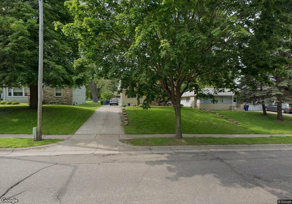
1554 Burns Ave Saint Paul, MN 55106
Battle Creek NeighborhoodEstimated Value: $295,000 - $323,528
3
Beds
2
Baths
866
Sq Ft
$356/Sq Ft
Est. Value
About This Home
This home is located at 1554 Burns Ave, Saint Paul, MN 55106 and is currently estimated at $308,632, approximately $356 per square foot. 1554 Burns Ave is a home located in Ramsey County with nearby schools including Highwood Hills Elementary School, Battle Creek Middle School, and Harding Senior High School.
Ownership History
Date
Name
Owned For
Owner Type
Purchase Details
Closed on
Jun 30, 2020
Sold by
Eggers Daniel Roy
Bought by
Nelson Coleton
Current Estimated Value
Home Financials for this Owner
Home Financials are based on the most recent Mortgage that was taken out on this home.
Original Mortgage
$239,590
Outstanding Balance
$213,314
Interest Rate
3.2%
Mortgage Type
New Conventional
Estimated Equity
$95,318
Purchase Details
Closed on
Apr 21, 2017
Sold by
Kjellberg Brian H
Bought by
Eggers Daniel Roy and Eggers Marie
Purchase Details
Closed on
Dec 27, 2002
Sold by
Koehn Walter R
Bought by
Kjellberg Brian H
Create a Home Valuation Report for This Property
The Home Valuation Report is an in-depth analysis detailing your home's value as well as a comparison with similar homes in the area
Home Values in the Area
Average Home Value in this Area
Purchase History
| Date | Buyer | Sale Price | Title Company |
|---|---|---|---|
| Nelson Coleton | $247,000 | Fsa Title Services | |
| Eggers Daniel Roy | $150,000 | Town Z County Title Llc | |
| Kjellberg Brian H | $120,000 | -- |
Source: Public Records
Mortgage History
| Date | Status | Borrower | Loan Amount |
|---|---|---|---|
| Open | Nelson Coleton | $239,590 | |
| Previous Owner | Eggers Daniel R | $129,600 | |
| Previous Owner | Kjellberg Brian H | $19,391 | |
| Previous Owner | Kjellberg Brian H | $111,600 | |
| Previous Owner | Kjellberg Brian H | $115,000 | |
| Closed | Eggers Daniel Roy | $0 |
Source: Public Records
Tax History Compared to Growth
Tax History
| Year | Tax Paid | Tax Assessment Tax Assessment Total Assessment is a certain percentage of the fair market value that is determined by local assessors to be the total taxable value of land and additions on the property. | Land | Improvement |
|---|---|---|---|---|
| 2025 | $4,348 | $278,200 | $46,200 | $232,000 |
| 2023 | $4,348 | $287,900 | $28,700 | $259,200 |
| 2022 | $3,236 | $276,400 | $28,700 | $247,700 |
| 2021 | $2,742 | $212,900 | $28,700 | $184,200 |
| 2020 | $2,822 | $189,900 | $28,700 | $161,200 |
| 2019 | $2,630 | $172,700 | $28,700 | $144,000 |
| 2018 | $2,426 | $160,500 | $28,700 | $131,800 |
| 2017 | $102 | $155,400 | $28,700 | $126,700 |
| 2016 | $143 | $0 | $0 | $0 |
| 2015 | $341 | $139,300 | $28,700 | $110,600 |
| 2014 | $52 | $0 | $0 | $0 |
Source: Public Records
Map
Nearby Homes
- 237 Sigurd St
- 1464 Upper Afton Rd
- 1624 Old Hudson Rd
- 1600 Old Hudson Rd
- 1560 Conway St
- 1333 Pacific St
- 125 Battle Creek Place
- 136 White Bear Ave N
- 1320 Wilson Ave
- 1730 Conway St
- 1821 Wilson Ave
- 1685 Fremont Ave
- 1351 3rd St E
- 1651 4th St E
- 1625 5th St E
- 1336 4th St E
- 1303 Fremont Ave
- 1489 6th St E
- 1477 6th St E
- 1551 Margaret St
- 1558 Burns Ave
- 1550 Burns Ave
- 1564 Burns Ave
- 1564 1564 Burns-Avenue-
- 1544 Burns Ave
- 1536 Burns Ave
- 1572 Burns Ave
- 1549 Upper Afton Rd
- 1555 Upper Afton Rd
- 1549 Burns Ave
- 1535 1535 Upper Afton Rd
- 1535 Upper Afton Rd
- 1547 Leone Ave
- 1537 Burns Ave
- 1530 Burns Ave
- 1549 Leone Ave
- 1580 Burns Ave
- 1531 Upper Afton Rd
- 1529 Upper Afton Rd
- 1559 Burns Ave