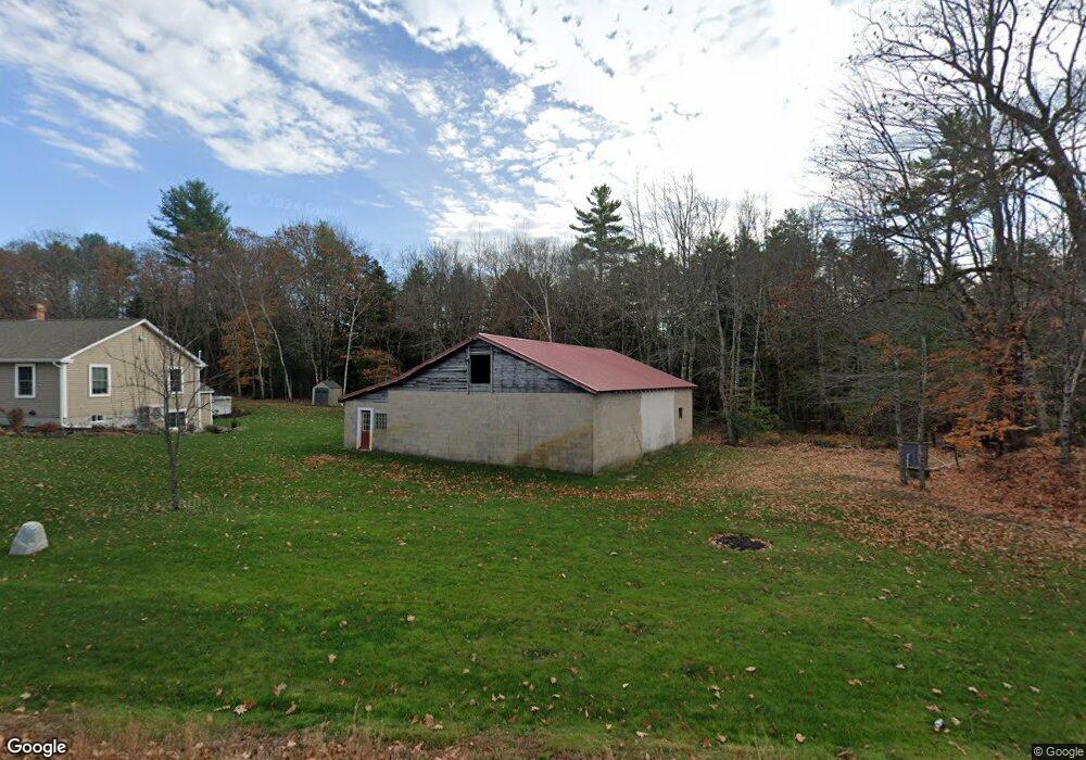
188 Boundary Rd Standish, ME 04084
Richville NeighborhoodEstimated Value: $556,000 - $617,000
3
Beds
3
Baths
2,272
Sq Ft
$255/Sq Ft
Est. Value
About This Home
This home is located at 188 Boundary Rd, Standish, ME 04084 and is currently estimated at $579,249, approximately $254 per square foot. 188 Boundary Rd is a home located in Cumberland County with nearby schools including Bonny Eagle High School.
Ownership History
Date
Name
Owned For
Owner Type
Purchase Details
Closed on
Aug 19, 2022
Sold by
Mcintire Raymond L
Bought by
Stoke Angela L
Current Estimated Value
Purchase Details
Closed on
Feb 24, 2006
Sold by
Stokes Angela L
Bought by
Stokes Angela L and Stokes Jason S
Create a Home Valuation Report for This Property
The Home Valuation Report is an in-depth analysis detailing your home's value as well as a comparison with similar homes in the area
Home Values in the Area
Average Home Value in this Area
Purchase History
| Date | Buyer | Sale Price | Title Company |
|---|---|---|---|
| Stoke Angela L | -- | None Available | |
| Stokes Angela L | -- | -- |
Source: Public Records
Mortgage History
| Date | Status | Borrower | Loan Amount |
|---|---|---|---|
| Open | Stokes Jason S | $462,000 | |
| Previous Owner | Stokes Jason S | $426,105 | |
| Previous Owner | Stokes Jason S | $239,000 | |
| Previous Owner | Stokes Jason S | $55,000 | |
| Previous Owner | Stokes Jason S | $223,000 | |
| Previous Owner | Stokes Jason S | $30,000 |
Source: Public Records
Tax History Compared to Growth
Tax History
| Year | Tax Paid | Tax Assessment Tax Assessment Total Assessment is a certain percentage of the fair market value that is determined by local assessors to be the total taxable value of land and additions on the property. | Land | Improvement |
|---|---|---|---|---|
| 2024 | $5,636 | $447,300 | $65,400 | $381,900 |
| 2023 | $5,223 | $377,100 | $54,900 | $322,200 |
| 2022 | $4,169 | $288,500 | $48,800 | $239,700 |
| 2021 | $3,342 | $222,800 | $44,500 | $178,300 |
| 2019 | $3,072 | $214,800 | $42,300 | $172,500 |
| 2018 | $2,926 | $210,500 | $38,000 | $172,500 |
| 2017 | $2,789 | $210,500 | $38,000 | $172,500 |
| 2016 | $2,699 | $210,500 | $38,000 | $172,500 |
| 2015 | $2,692 | $210,500 | $38,000 | $172,500 |
| 2013 | -- | $210,500 | $38,000 | $172,500 |
Source: Public Records
Map
Nearby Homes
- 1 Mosley Rd
- 415 Richville Rd
- 56 Woodbrey Ln
- 52 Woodbrey Ln
- 9 Hunters Haven
- 907 Richville Rd
- 6 Hunters Haven
- 1 Estes Dr
- 191 Cole Hill Rd
- 103 Kayli Dr
- 93 Kayli Dr
- 8 Woodland Ave
- 5 Mountain View Ln
- 86 Sandy Cove Rd
- 21 Richville Rd
- 33 Woodbrey Ln
- 28 Woodbrey Ln
- 47 Woodbrey Ln
- 31 Woodbrey Ln
- LOT #53 Woodbrey Heights
- 189 Boundary Rd
- 170 Boundary Rd
- 420 Boundary Rd
- 190 Boundary Rd
- 871 Boundary Rd
- 160 Boundary Rd
- 3 Boundary Rd
- 2 Boundary Rd
- 2 Mill Pond Rd
- 3 Carroll Ave
- 0 Boundary Rd
- 5 Turkey Farm Rd
- 11 Turkey Farm Rd
- 210 Boundary Rd
- 7 Mill Pond Rd
- 5 Mill Pond Rd
- 12 Turkey Farm Rd
- 0 Turkey Farm Rd
- 8 Carroll Ave
- 150 Boundary Rd