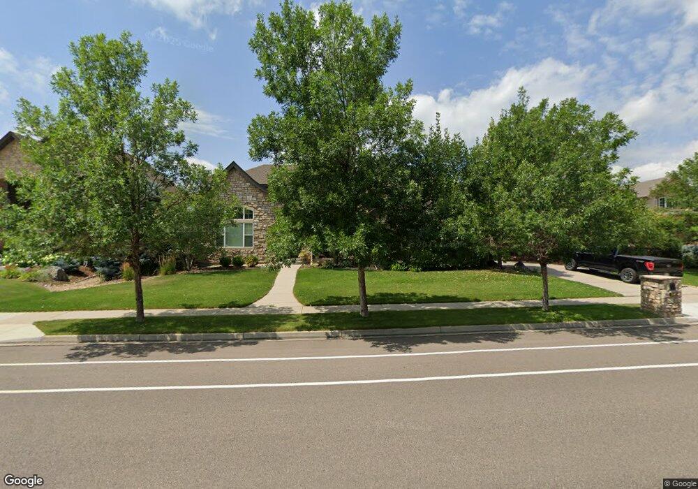
1945 Sundance Dr Longmont, CO 80504
East Side NeighborhoodEstimated Value: $1,073,000 - $1,216,000
4
Beds
5
Baths
3,880
Sq Ft
$297/Sq Ft
Est. Value
About This Home
This home is located at 1945 Sundance Dr, Longmont, CO 80504 and is currently estimated at $1,153,351, approximately $297 per square foot. 1945 Sundance Dr is a home located in Boulder County with nearby schools including Fall River Elementary School, Trail Ridge Middle School, and Skyline High School.
Ownership History
Date
Name
Owned For
Owner Type
Purchase Details
Closed on
Jan 10, 2006
Sold by
Sopris Development Llc
Bought by
Tapia John J and Tapia Karrie A
Current Estimated Value
Purchase Details
Closed on
Feb 19, 2003
Sold by
Bosch Land Group Llc
Bought by
Sopris Development Llc
Create a Home Valuation Report for This Property
The Home Valuation Report is an in-depth analysis detailing your home's value as well as a comparison with similar homes in the area
Home Values in the Area
Average Home Value in this Area
Purchase History
| Date | Buyer | Sale Price | Title Company |
|---|---|---|---|
| Tapia John J | $140,000 | First Colorado Title | |
| Sopris Development Llc | $104,000 | -- |
Source: Public Records
Mortgage History
| Date | Status | Borrower | Loan Amount |
|---|---|---|---|
| Open | Tapia John J | $338,000 | |
| Closed | Tapia John J | $100,000 | |
| Closed | Tapia John J | $405,000 | |
| Closed | Tapia John J | $416,000 | |
| Closed | Tapia John J | $414,000 | |
| Closed | Tapia John J | $474,186 |
Source: Public Records
Tax History Compared to Growth
Tax History
| Year | Tax Paid | Tax Assessment Tax Assessment Total Assessment is a certain percentage of the fair market value that is determined by local assessors to be the total taxable value of land and additions on the property. | Land | Improvement |
|---|---|---|---|---|
| 2025 | $7,095 | $69,894 | $9,656 | $60,238 |
| 2024 | $7,095 | $69,894 | $9,656 | $60,238 |
| 2023 | $6,999 | $74,176 | $10,680 | $67,181 |
| 2022 | $5,911 | $59,729 | $8,111 | $51,618 |
| 2021 | $5,987 | $61,447 | $8,344 | $53,103 |
| 2020 | $4,910 | $50,551 | $7,651 | $42,900 |
| 2019 | $4,833 | $50,551 | $7,651 | $42,900 |
| 2018 | $4,941 | $52,020 | $7,704 | $44,316 |
| 2017 | $4,874 | $57,511 | $8,517 | $48,994 |
| 2016 | $4,744 | $49,631 | $10,428 | $39,203 |
| 2015 | $4,521 | $44,330 | $9,234 | $35,096 |
| 2014 | $4,141 | $44,330 | $9,234 | $35,096 |
Source: Public Records
Map
Nearby Homes
- 1939 Sundance Dr
- 1766 Montgomery Cir
- 1926 Sundance Dr
- 1927 Rannoch Dr
- 1931 Rannoch Dr
- 1874 Ute Creek Dr
- 1824 Ute Creek Dr
- 2350 Tyrrhenian Cir
- 1711 Wildlife Place
- 1404 Whitehall Dr Unit C
- 1426 Whitehall Dr Unit B
- 2404 Aral Dr
- 2432 Tyrrhenian Dr
- Biscayne Plan at Spring Valley
- Denali Plan at Spring Valley
- Acadia Plan at Spring Valley
- Congaree Plan at Spring Valley
- 2464 Tyrrhenian Cir
- 1451 Whitehall Dr
- 2474 Ravenswood Ct
- 1951 Sundance Dr
- 1942 Wasach Dr
- 1936 Wasach Dr
- 1948 Wasach Dr
- 1933 Sundance Dr
- 1769 Montgomery Cir
- 1952 Sundance Dr
- 1930 Wasach Dr
- 1958 Sundance Dr
- 1927 Sundance Dr
- 1763 Montgomery Cir
- 1924 Wasach Dr
- 1932 Sundance Dr
- 1760 Montgomery Cir
- 1943 Wasach Dr
- 1937 Wasach Dr
- 1708 Twilight Ct
- 1931 Wasach Dr
- 1921 Sundance Dr
- 1918 Wasach Dr