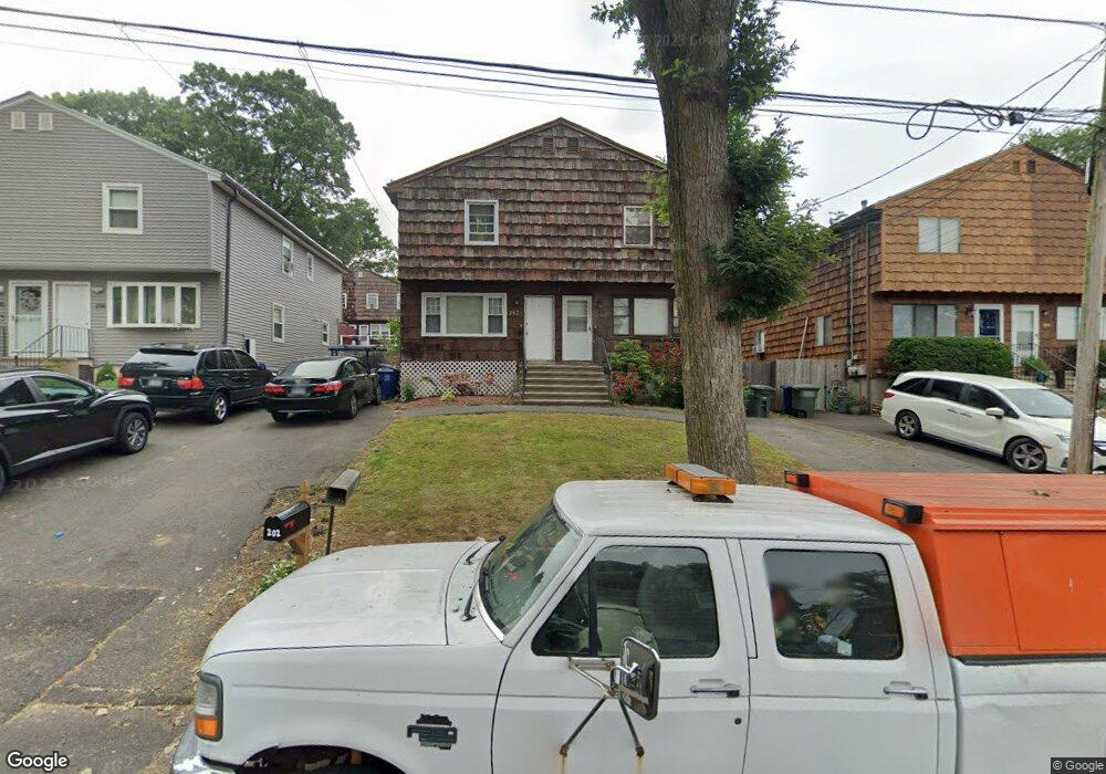
200 Robert St Bridgeport, CT 06606
Reservoir-Whiskey Hill NeighborhoodEstimated Value: $299,000
3
Beds
2
Baths
1,280
Sq Ft
$234/Sq Ft
Est. Value
About This Home
This home is located at 200 Robert St, Bridgeport, CT 06606 and is currently estimated at $299,000, approximately $233 per square foot. 200 Robert St is a home located in Fairfield County with nearby schools including Hallen School, Central High School, and Northeastern Adventist Academy - Fairfield County.
Ownership History
Date
Name
Owned For
Owner Type
Purchase Details
Closed on
Jan 15, 2004
Sold by
Parikh Piyush and Parikh Surekha
Bought by
Woods-Taylor Mattie
Current Estimated Value
Home Financials for this Owner
Home Financials are based on the most recent Mortgage that was taken out on this home.
Original Mortgage
$96,000
Interest Rate
5.98%
Create a Home Valuation Report for This Property
The Home Valuation Report is an in-depth analysis detailing your home's value as well as a comparison with similar homes in the area
Home Values in the Area
Average Home Value in this Area
Purchase History
| Date | Buyer | Sale Price | Title Company |
|---|---|---|---|
| Woods-Taylor Mattie | $120,000 | -- | |
| Woods-Taylor Mattie | $120,000 | -- |
Source: Public Records
Mortgage History
| Date | Status | Borrower | Loan Amount |
|---|---|---|---|
| Open | Woods Edward | $101,250 | |
| Closed | Parikh Piyush | $96,000 | |
| Previous Owner | Parikh Piyush | $38,500 | |
| Previous Owner | Parikh Piyush | $52,000 |
Source: Public Records
Tax History Compared to Growth
Tax History
| Year | Tax Paid | Tax Assessment Tax Assessment Total Assessment is a certain percentage of the fair market value that is determined by local assessors to be the total taxable value of land and additions on the property. | Land | Improvement |
|---|---|---|---|---|
| 2024 | $5,542 | $127,552 | $25,432 | $102,120 |
| 2023 | $5,542 | $127,552 | $25,432 | $102,120 |
| 2022 | $5,542 | $127,552 | $25,432 | $102,120 |
| 2021 | $5,542 | $127,552 | $25,432 | $102,120 |
| 2020 | $4,301 | $79,660 | $12,030 | $67,630 |
| 2019 | $4,301 | $79,660 | $12,030 | $67,630 |
| 2018 | $4,331 | $79,660 | $12,030 | $67,630 |
| 2017 | $4,331 | $79,660 | $12,030 | $67,630 |
| 2016 | $4,331 | $79,660 | $12,030 | $67,630 |
| 2015 | $4,643 | $110,020 | $16,240 | $93,780 |
| 2014 | $4,643 | $110,020 | $16,240 | $93,780 |
Source: Public Records
Map
Nearby Homes
- 42 Saunders Ave
- 505 Indian Ave
- 385 Chamberlain Ave
- 28 Wilkins Ave
- 176 Edwards St
- 769 Sylvan Ave Unit 16
- 10 Rita Ave
- 310 Douglas St
- 277 Alba Ave
- 285 Alba Ave
- 499 Woodlawn Avenue Extension
- 115 Pond St
- 52 Platt St
- 44 Pond St
- 756 Hart St
- 25 Platt Place
- 355 Exeter St
- 219 Exeter St
- 213 Exeter St
- 26 Karen Ct Unit A