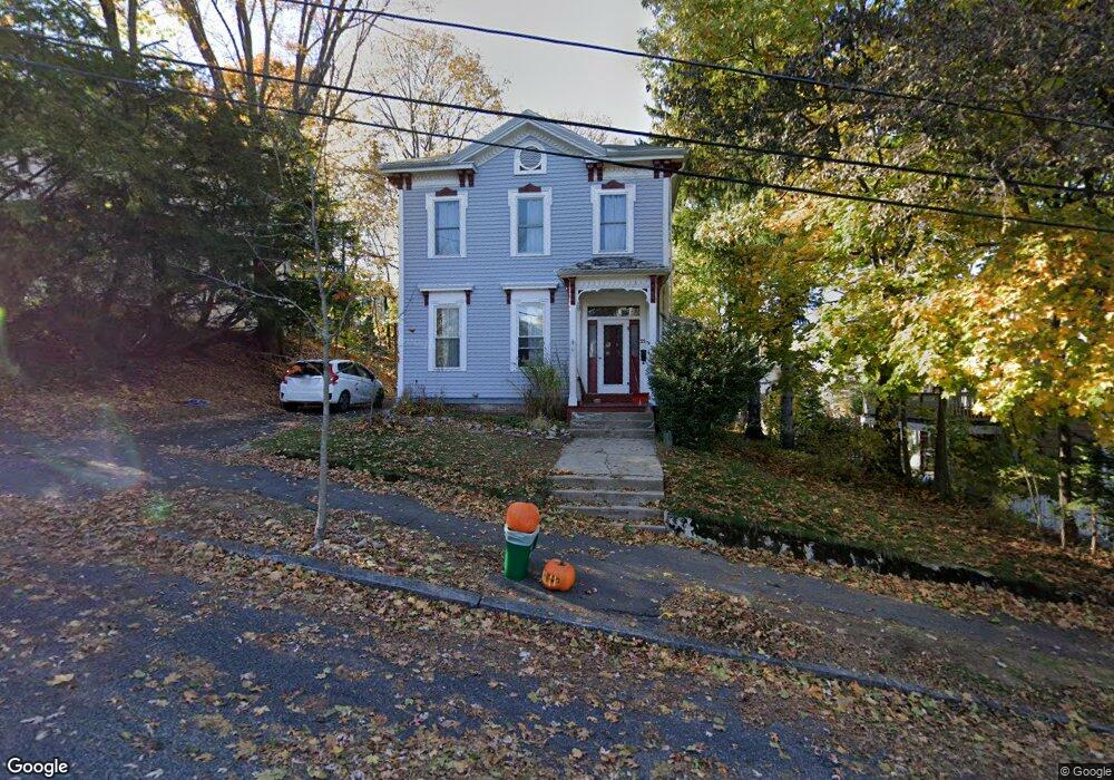
21 Ashland St Arlington, MA 02476
Arlington Heights NeighborhoodEstimated Value: $1,243,000 - $1,572,000
3
Beds
2
Baths
2,122
Sq Ft
$638/Sq Ft
Est. Value
About This Home
This home is located at 21 Ashland St, Arlington, MA 02476 and is currently estimated at $1,353,800, approximately $637 per square foot. 21 Ashland St is a home located in Middlesex County with nearby schools including Brackett Elementary School, Dallin Elementary School, and Ottoson Middle School.
Ownership History
Date
Name
Owned For
Owner Type
Purchase Details
Closed on
Dec 17, 2021
Sold by
Zasloff Eva and Nelson Aaron
Bought by
A L Nelson & E S Zasloff Lt and Nelson
Current Estimated Value
Purchase Details
Closed on
Aug 20, 2007
Sold by
Carson Douglas S
Bought by
Carson Douglas S and Carson Sarah
Create a Home Valuation Report for This Property
The Home Valuation Report is an in-depth analysis detailing your home's value as well as a comparison with similar homes in the area
Home Values in the Area
Average Home Value in this Area
Purchase History
| Date | Buyer | Sale Price | Title Company |
|---|---|---|---|
| A L Nelson & E S Zasloff Lt | -- | None Available | |
| Carson Douglas S | -- | -- |
Source: Public Records
Mortgage History
| Date | Status | Borrower | Loan Amount |
|---|---|---|---|
| Previous Owner | Nelson Aaron | $330,000 | |
| Previous Owner | Zasloff Eva | $465,700 | |
| Previous Owner | Carson Douglas S | $75,000 | |
| Previous Owner | Carson Douglas S | $210,000 | |
| Previous Owner | Carson Douglas S | $210,000 | |
| Previous Owner | Carson Douglas S | $160,000 | |
| Previous Owner | Carson Douglas S | $90,000 |
Source: Public Records
Tax History Compared to Growth
Tax History
| Year | Tax Paid | Tax Assessment Tax Assessment Total Assessment is a certain percentage of the fair market value that is determined by local assessors to be the total taxable value of land and additions on the property. | Land | Improvement |
|---|---|---|---|---|
| 2025 | $11,991 | $1,113,400 | $634,600 | $478,800 |
| 2024 | $11,113 | $1,049,400 | $600,400 | $449,000 |
| 2023 | $10,491 | $935,900 | $525,400 | $410,500 |
| 2022 | $9,689 | $848,400 | $477,600 | $370,800 |
| 2021 | $9,488 | $836,700 | $477,600 | $359,100 |
| 2020 | $9,254 | $836,700 | $477,600 | $359,100 |
| 2019 | $8,546 | $759,000 | $477,600 | $281,400 |
| 2018 | $8,660 | $713,900 | $423,000 | $290,900 |
| 2017 | $8,110 | $645,700 | $354,800 | $290,900 |
| 2016 | $8,265 | $645,700 | $354,800 | $290,900 |
| 2015 | $7,877 | $581,300 | $307,000 | $274,300 |
Source: Public Records
Map
Nearby Homes
- 11 Lowell St Unit B
- 1 Watermill Place Unit 320
- 1205 Massachusetts Ave
- 16 Burton St Unit 16
- 11 Pine Ct
- 37 Fountain Rd Unit 2
- 37 Fountain Rd
- 42 Forest St Unit 42
- 26-28 Howard St
- 14 Park Avenue Extension
- 6 West St
- 11 Colonial Village Dr Unit 7
- 21-23 Bow St
- 3 Colonial Village Dr Unit 10
- 107 Waverly St
- 23 Argyle Rd
- 197 Lowell St
- 455 Summer St Unit 455
- 321 Park Ave
- 1049 -1051 Massachusetts Ave Unit 3
- 19 Ashland St
- 17 Ashland St Unit 17
- 27 Ashland St
- 18 Florence Ave
- 14-16 Florence Ave
- 22 Florence Ave
- 15 Ashland St
- 22 Ashland St
- 14 Florence Ave Unit 16
- 12 Florence Ave
- 9 Ashland St Unit 11
- 9 Ashland St Unit 1
- 9 Ashland St Unit 9
- 35 Ashland St
- 18 Ashland St
- 33 Elmore St
- 30 Ashland St
- 14 Ashland St
- 39 Ashland St
- 39 Ashland St Unit 1