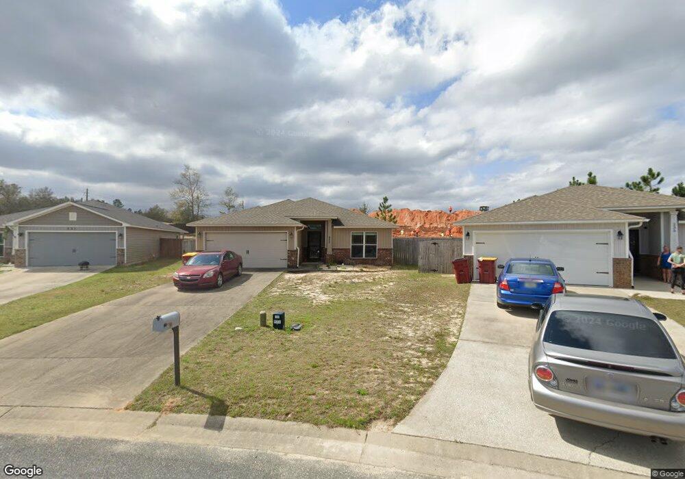
233 Croft Cir Crestview, FL 32536
Estimated Value: $280,000 - $302,000
3
Beds
2
Baths
1,473
Sq Ft
$198/Sq Ft
Est. Value
About This Home
This home is located at 233 Croft Cir, Crestview, FL 32536 and is currently estimated at $291,389, approximately $197 per square foot. 233 Croft Cir is a home located in Okaloosa County with nearby schools including Antioch Elementary School, Shoal River Middle School, and Crestview High School.
Ownership History
Date
Name
Owned For
Owner Type
Purchase Details
Closed on
Aug 19, 2016
Sold by
The U I L Family Lp
Bought by
Poalacio Christian A and Poalacio Marcella R
Current Estimated Value
Home Financials for this Owner
Home Financials are based on the most recent Mortgage that was taken out on this home.
Original Mortgage
$188,977
Interest Rate
3.45%
Mortgage Type
VA
Purchase Details
Closed on
Apr 6, 2015
Sold by
Taylor Farms Development Llc
Bought by
The H L O T Family Limited Partnership
Create a Home Valuation Report for This Property
The Home Valuation Report is an in-depth analysis detailing your home's value as well as a comparison with similar homes in the area
Home Values in the Area
Average Home Value in this Area
Purchase History
| Date | Buyer | Sale Price | Title Company |
|---|---|---|---|
| Poalacio Christian A | $185,000 | Guarantee Title Of Northwest | |
| The H L O T Family Limited Partnership | $39,000 | Guarantee Title Of Nw Fl Inc |
Source: Public Records
Mortgage History
| Date | Status | Borrower | Loan Amount |
|---|---|---|---|
| Open | Palacio Christian A | $176,727 | |
| Closed | Poalacio Christian A | $188,977 |
Source: Public Records
Tax History Compared to Growth
Tax History
| Year | Tax Paid | Tax Assessment Tax Assessment Total Assessment is a certain percentage of the fair market value that is determined by local assessors to be the total taxable value of land and additions on the property. | Land | Improvement |
|---|---|---|---|---|
| 2024 | -- | $179,367 | -- | -- |
| 2023 | $0 | $174,143 | $0 | $0 |
| 2022 | $0 | $169,071 | $0 | $0 |
| 2021 | $0 | $164,147 | $0 | $0 |
| 2020 | $0 | $161,881 | $0 | $0 |
| 2019 | $1,997 | $158,241 | $31,930 | $126,311 |
| 2018 | $2,529 | $150,155 | $0 | $0 |
| 2017 | $2,303 | $132,343 | $0 | $0 |
| 2016 | $553 | $31,930 | $0 | $0 |
| 2015 | $549 | $31,000 | $0 | $0 |
Source: Public Records
Map
Nearby Homes
- 5040 Antioch Rd
- XXXX Antioch Rd
- 6.5 Antioch Rd
- 000 Antioch Rd
- xxx Antioch Rd
- 4610 Antioch Rd
- 130 Crab Apple Ave
- 5304 Whitney Ct
- 138 Crab Apple Ave
- 5315 Whitney Ct
- 418 Wych Cir
- 5408 Josh Dr
- 401 Wych Cir
- 312 Scotch Pine Ln
- 5205 Whitehurst Ln
- 5123 Whitehurst Ln
- 138 Louise Dr
- 316 Egan Dr
- 664 Brunson St
- 704 Denise Dr
- 231 Croft Cir
- 229 Croft Cir
- 7.5 Antioch Rd
- 0 Antioch Rd
- 227 Croft Cir
- 225 Croft Cir
- 223 Croft Cir
- 221 Croft Cir
- 130 Lillian Way
- 125 Lillian Way
- 128 Lillian Way
- 123 Lillian Way
- 126 Lillian Way
- 124 Lillian Way
- 121 Lillian Way
- 122 Lillian Way
- 120 Lillian Way
- 119 Lillian Way
- 118 Lillian Way
- 116 Lillian Way