2584 Burnt Valley Rd Chewelah, WA 99109
Estimated Value: $256,186 - $458,000
2
Beds
1
Bath
4,968
Sq Ft
$72/Sq Ft
Est. Value
About This Home
This home is located at 2584 Burnt Valley Rd, Chewelah, WA 99109 and is currently estimated at $357,093, approximately $71 per square foot. 2584 Burnt Valley Rd is a home located in Stevens County with nearby schools including Gess Elementary School and Jenkins Junior/Senior High School.
Ownership History
Date
Name
Owned For
Owner Type
Purchase Details
Closed on
Mar 17, 2020
Sold by
Remington Ronald J
Bought by
Tampien Jordan and Tampien Whitney
Current Estimated Value
Home Financials for this Owner
Home Financials are based on the most recent Mortgage that was taken out on this home.
Original Mortgage
$165,000
Outstanding Balance
$147,117
Interest Rate
3.4%
Mortgage Type
New Conventional
Estimated Equity
$173,302
Create a Home Valuation Report for This Property
The Home Valuation Report is an in-depth analysis detailing your home's value as well as a comparison with similar homes in the area
Home Values in the Area
Average Home Value in this Area
Purchase History
| Date | Buyer | Sale Price | Title Company |
|---|---|---|---|
| Tampien Jordan | $170,000 | Stevens County Title Company |
Source: Public Records
Mortgage History
| Date | Status | Borrower | Loan Amount |
|---|---|---|---|
| Open | Tampien Jordan | $165,000 | |
| Previous Owner | Murbach Kathleen Louise | $50,000 |
Source: Public Records
Tax History Compared to Growth
Tax History
| Year | Tax Paid | Tax Assessment Tax Assessment Total Assessment is a certain percentage of the fair market value that is determined by local assessors to be the total taxable value of land and additions on the property. | Land | Improvement |
|---|---|---|---|---|
| 2024 | $1,660 | $220,502 | $4,635 | $215,867 |
| 2023 | $1,452 | $195,603 | $12,040 | $183,563 |
| 2022 | $1,467 | $183,592 | $12,040 | $171,552 |
| 2021 | $1,539 | $165,619 | $2,929 | $162,690 |
| 2020 | $1,577 | $165,619 | $2,929 | $162,690 |
| 2019 | $1,375 | $160,597 | $2,925 | $157,672 |
| 2018 | $1,645 | $143,324 | $2,922 | $140,402 |
| 2017 | $1,522 | $157,577 | $2,922 | $154,655 |
| 2016 | $1,444 | $157,574 | $2,919 | $154,655 |
| 2015 | $1,475 | $157,567 | $2,912 | $154,655 |
| 2013 | -- | $157,564 | $2,909 | $154,655 |
Source: Public Records
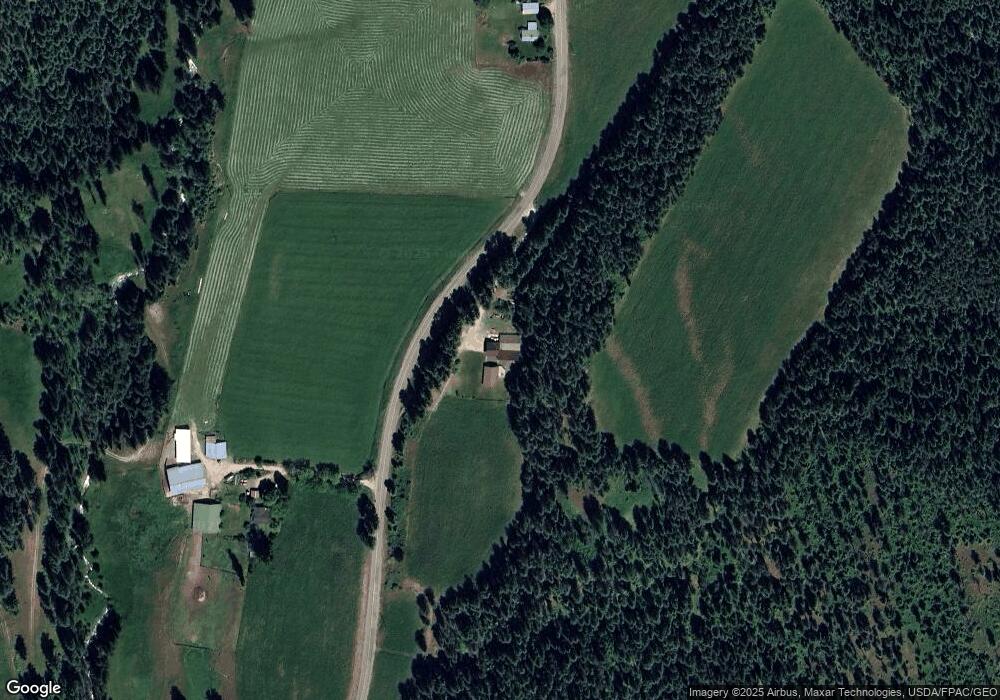
Map
Nearby Homes
- 2443 Eagle Lambert Rd
- 23XX Burnt Valley Rd Unit Parcel 2566428
- 2593 Burnt Valley Rd
- XXX Burnt Valley Rd
- 2360 Burnt Valley Rd
- 2694 Sand Canyon Rd
- 2367 Morse Way
- 2243 Tyra Dr
- 26XX Sand Canyon Lot 2 Rd
- 26XX Sand Canyon Lot 3 Rd
- 203 Eagle Dr
- 205 Eagle Dr
- 207 Eagle Dr
- 183 E Trappers Loop
- 102 Trappers Loop W
- 182 E Trappers Loop
- 223 Eagle Dr
- 251 Eagle Dr
- 256 Eagle Dr
- 2563 Burnt Valley Rd
- 26XX Burnt Valley Rd
- 2559F United Copper Mine Rd
- 2611 Arrington Rd
- 2611 Arrington Rd Unit B
- 2611 United Copper Mine Rd
- 2524 Burnt Valley Rd
- 2559 Tbd United Copper Mine Rd
- 2651 Arrington Rd
- 2608 Highline Rd
- 2604 Burnt Valley Rd
- 2611 Burnt Valley Rd
- 26XX Arrington Rd
- 2595 United Copper Mine Rd
- 2559 United Copper Mine Rd
- 2559 United Copper Mine Rd
- 2559 United Copper Mine Rd
- 2559 United Copper Mine Rd
- 2559 United Copper Mine Rd
- 2660 Burnt Valley Rd