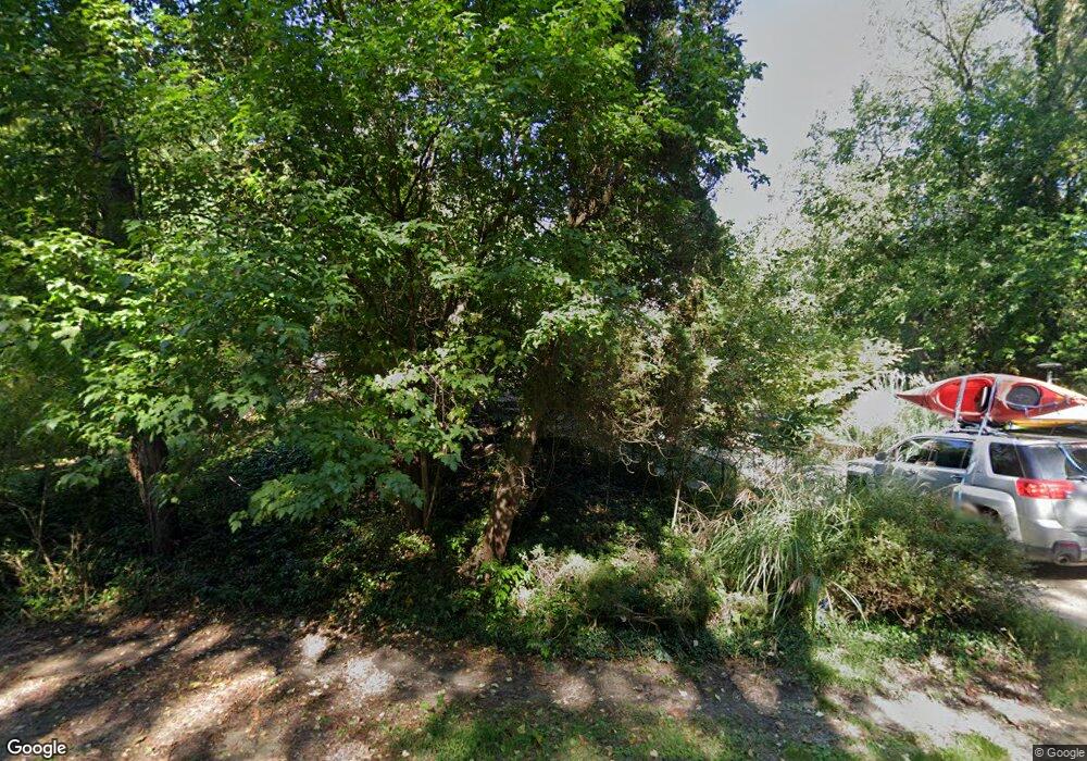
2650 Laurentide Dr Ann Arbor, MI 48103
Estimated Value: $785,000 - $927,000
4
Beds
3
Baths
3,549
Sq Ft
$239/Sq Ft
Est. Value
About This Home
This home is located at 2650 Laurentide Dr, Ann Arbor, MI 48103 and is currently estimated at $846,794, approximately $238 per square foot. 2650 Laurentide Dr is a home located in Washtenaw County with nearby schools including Wines Elementary School, Forsythe Middle School, and Skyline High School.
Ownership History
Date
Name
Owned For
Owner Type
Purchase Details
Closed on
Apr 17, 2019
Sold by
Clinthorne Neal H and Clinthorne Rita P
Bought by
Clinthorne Neal H and Clinthorne Rita P
Current Estimated Value
Purchase Details
Closed on
Sep 22, 2006
Sold by
Garber Martin E and German Beth E
Bought by
Clinthorne Neal H and Clinthorne Rita P
Home Financials for this Owner
Home Financials are based on the most recent Mortgage that was taken out on this home.
Original Mortgage
$387,000
Interest Rate
6.59%
Mortgage Type
Purchase Money Mortgage
Create a Home Valuation Report for This Property
The Home Valuation Report is an in-depth analysis detailing your home's value as well as a comparison with similar homes in the area
Home Values in the Area
Average Home Value in this Area
Purchase History
| Date | Buyer | Sale Price | Title Company |
|---|---|---|---|
| Clinthorne Neal H | -- | None Available | |
| Clinthorne Neal H | $430,000 | Ab |
Source: Public Records
Mortgage History
| Date | Status | Borrower | Loan Amount |
|---|---|---|---|
| Open | Clinthorne Neal H | $273,000 | |
| Closed | Clinthorne Neal H | $387,000 |
Source: Public Records
Tax History Compared to Growth
Tax History
| Year | Tax Paid | Tax Assessment Tax Assessment Total Assessment is a certain percentage of the fair market value that is determined by local assessors to be the total taxable value of land and additions on the property. | Land | Improvement |
|---|---|---|---|---|
| 2025 | -- | $392,500 | $0 | $0 |
| 2024 | $5,690 | $358,500 | $0 | $0 |
| 2023 | $5,468 | $345,400 | $0 | $0 |
| 2022 | $7,640 | $312,200 | $0 | $0 |
| 2021 | $7,264 | $305,400 | $0 | $0 |
| 2020 | $7,438 | $272,400 | $0 | $0 |
| 2019 | $6,870 | $272,300 | $272,300 | $0 |
| 2018 | $6,689 | $261,600 | $0 | $0 |
| 2017 | $6,448 | $243,600 | $0 | $0 |
| 2016 | $4,545 | $178,700 | $0 | $0 |
| 2015 | -- | $178,166 | $0 | $0 |
| 2014 | -- | $172,600 | $0 | $0 |
| 2013 | -- | $172,600 | $0 | $0 |
Source: Public Records
Map
Nearby Homes
- 2693 Laurentide Dr
- 2694 Wayside Dr
- 2971 Daleview Dr
- 2277 W Huron River Dr
- 3407 Woodlea Dr
- 2315 Tall Oaks Dr
- 0 Cottontail Ln
- 1848 Calvin St
- 3113 Miller Rd
- 1544 Newport Creek Dr
- 1827 N Franklin Ct
- 1775 S Franklin Ct
- 2689 N Wagner Rd
- 3680 Miller Rd
- 3673 Pheasant Dr
- 1490 Patricia Ave
- 1320 Patricia Ave
- 901 Country Club Rd
- 1335 Kelly Green Dr
- 2108 Newport Rd
- 2690 Laurentide Dr
- 2608 Laurentide Dr
- 2671 Roseland Dr
- 2649 Laurentide Dr
- 2671 Laurentide Dr
- 2721 Roseland Dr
- 2717 Laurel Hill Rd
- 2627 Laurentide Dr
- 2605 Laurentide Dr
- 2715 Laurentide Dr
- 2648 Roseland Dr
- 2737 Laurel Hill Rd
- 2624 Roseland Dr
- 2672 Roseland Dr
- 2600 Roseland Dr
- 2722 Roseland Dr
- 2698 Roseland Dr
- 2571 Roseland Dr
- 2576 Roseland Dr
- 2737 Laurentide Dr
