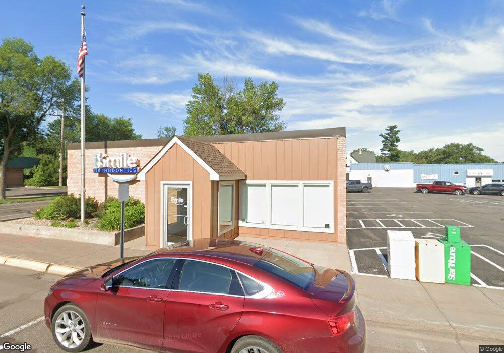
38891 7th Ave North Branch, MN 55056
Estimated Value: $166,890
--
Bed
--
Bath
1,980
Sq Ft
$84/Sq Ft
Est. Value
About This Home
This home is located at 38891 7th Ave, North Branch, MN 55056 and is currently estimated at $166,890, approximately $84 per square foot. 38891 7th Ave is a home located in Chisago County with nearby schools including North Branch Middle School, Sunrise River Elementary School, and North Branch Senior High School.
Ownership History
Date
Name
Owned For
Owner Type
Purchase Details
Closed on
Dec 18, 2014
Sold by
Bengtson Gordon Gordon
Bought by
Muske Kelly Kelly
Current Estimated Value
Purchase Details
Closed on
Sep 20, 2010
Sold by
Bengtson Gordon A and Bengtson Gladys M
Bought by
Muske Kelly
Home Financials for this Owner
Home Financials are based on the most recent Mortgage that was taken out on this home.
Original Mortgage
$72,500
Interest Rate
5%
Mortgage Type
Land Contract Argmt. Of Sale
Create a Home Valuation Report for This Property
The Home Valuation Report is an in-depth analysis detailing your home's value as well as a comparison with similar homes in the area
Home Values in the Area
Average Home Value in this Area
Purchase History
| Date | Buyer | Sale Price | Title Company |
|---|---|---|---|
| Muske Kelly Kelly | $77,900 | -- | |
| Muske Kelly | $75,000 | -- |
Source: Public Records
Mortgage History
| Date | Status | Borrower | Loan Amount |
|---|---|---|---|
| Closed | Tjw Developments Ltd | $227,822 | |
| Closed | Tjw Developments Ltd | $360,000 | |
| Previous Owner | Muske Kelly | $72,500 |
Source: Public Records
Tax History Compared to Growth
Tax History
| Year | Tax Paid | Tax Assessment Tax Assessment Total Assessment is a certain percentage of the fair market value that is determined by local assessors to be the total taxable value of land and additions on the property. | Land | Improvement |
|---|---|---|---|---|
| 2023 | $4,578 | $214,800 | $41,100 | $173,700 |
| 2022 | $4,578 | $193,500 | $27,400 | $166,100 |
| 2021 | $5,132 | $188,900 | $0 | $0 |
| 2020 | $5,212 | $188,100 | $27,400 | $160,700 |
| 2019 | $5,230 | $0 | $0 | $0 |
| 2018 | $5,498 | $0 | $0 | $0 |
| 2017 | $6,166 | $0 | $0 | $0 |
| 2016 | $2,732 | $0 | $0 | $0 |
| 2015 | $3,198 | $0 | $0 | $0 |
| 2014 | -- | $89,100 | $0 | $0 |
Source: Public Records
Map
Nearby Homes
- 38946 7th Ave
- XXXXX Maple St
- 6429 Maple St
- 39094 Riverside Ct
- 6671 Maple St
- 38609 Branch Ave
- 6227 Albert Ln
- 6191 Albert Ln
- XXX Ash St
- 38xxx Oakview Ave
- 38760 Maple Ct
- 6454 Donny Brook Cir
- 38839 Maple Ct
- 6071 Red Fox Run
- 38692 Hawthorne Ave
- 38650 Hawthorne Ave
- 38636 Hawthorne Ave
- 38578 Hawthorne Ave
- 7219 386th St
- 6586 381st St