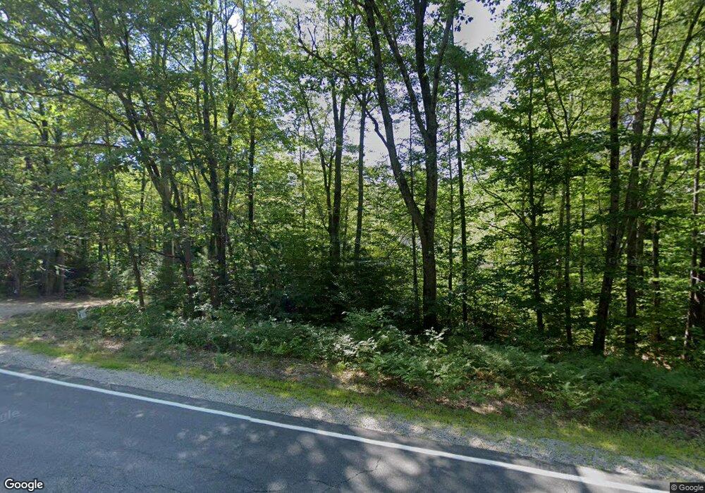
479 Chase Rd North Sandwich, NH 03259
Estimated Value: $573,274 - $1,143,000
3
Beds
3
Baths
2,660
Sq Ft
$317/Sq Ft
Est. Value
About This Home
This home is located at 479 Chase Rd, North Sandwich, NH 03259 and is currently estimated at $844,069, approximately $317 per square foot. 479 Chase Rd is a home located in Carroll County with nearby schools including Inter-Lakes Elementary School, Sandwich Central School, and Inter-Lakes Middle High School.
Ownership History
Date
Name
Owned For
Owner Type
Purchase Details
Closed on
Jul 13, 2020
Sold by
Hatch Jessica
Bought by
Hatch Robert
Current Estimated Value
Home Financials for this Owner
Home Financials are based on the most recent Mortgage that was taken out on this home.
Original Mortgage
$337,833
Interest Rate
3.1%
Mortgage Type
New Conventional
Purchase Details
Closed on
Oct 9, 2014
Sold by
Daniels Richard William and Daniels Michelle
Bought by
Cavanaugh James and Cavanaugh Constance M
Create a Home Valuation Report for This Property
The Home Valuation Report is an in-depth analysis detailing your home's value as well as a comparison with similar homes in the area
Home Values in the Area
Average Home Value in this Area
Purchase History
| Date | Buyer | Sale Price | Title Company |
|---|---|---|---|
| Hatch Robert | -- | None Available | |
| Hatch Robert | -- | None Available | |
| Cavanaugh James | $369,900 | -- | |
| Cavanaugh James | $369,900 | -- |
Source: Public Records
Mortgage History
| Date | Status | Borrower | Loan Amount |
|---|---|---|---|
| Previous Owner | Hatch Robert | $337,833 |
Source: Public Records
Tax History Compared to Growth
Tax History
| Year | Tax Paid | Tax Assessment Tax Assessment Total Assessment is a certain percentage of the fair market value that is determined by local assessors to be the total taxable value of land and additions on the property. | Land | Improvement |
|---|---|---|---|---|
| 2024 | $3,969 | $438,542 | $122,342 | $316,200 |
| 2023 | $4,145 | $268,825 | $53,325 | $215,500 |
| 2022 | $3,879 | $269,213 | $53,713 | $215,500 |
| 2021 | $3,900 | $269,497 | $53,997 | $215,500 |
| 2020 | $3,900 | $269,537 | $54,037 | $215,500 |
| 2019 | $4,153 | $291,855 | $56,755 | $235,100 |
| 2018 | $3,878 | $265,629 | $51,529 | $214,100 |
| 2017 | $3,830 | $265,629 | $51,529 | $214,100 |
| 2016 | $3,836 | $265,298 | $51,198 | $214,100 |
| 2015 | $3,706 | $265,298 | $51,198 | $214,100 |
| 2014 | $3,573 | $264,893 | $50,793 | $214,100 |
| 2013 | $3,570 | $318,744 | $58,644 | $260,100 |
Source: Public Records
Map
Nearby Homes
- 410-46 Hannah Rd
- 659 N Sandwich Rd
- 385 Beede Flats Rd
- 900 Bunker Hill Rd
- 898 Bunker Hill Rd
- 00 Middle Rd
- 781 Mount Israel Rd
- 314 Old Mail Rd
- 68 Bearcamp Pond Rd
- 224 Lot 20 Elijah Beede Rd
- 55 Hollow Hill Rd
- 495 Durell Rd
- 46 Mason Dr
- 13 Mill Rd
- 23 Mason Hill Rd
- 591 Whittier Hwy
- 25 Brewster Hill Rd
- 515 Hollow Hill Rd
- 83 Tamworth Rd
- 15 Boulderwood Way Unit D1
- 491 Chase Rd
- 511 Chase Rd
- 479 Chase Rd
- 431 Chase Rd
- 425 Chase Rd
- 423 Chase Rd
- 424 Chase Rd
- 392 Chase Rd
- 395 Chase Rd
- 426 Chase Rd
- 361 Chase Rd
- 364 Chase Rd
- 232 Chase Rd
- 230 Chase Rd
- 180 Chase Rd
- 222 Whiteface Intervale Rd
- 216 Whiteface Intervale Rd
- 168 Whiteface Intervale Rd
- 45 Whiteface Intervale Rd
- 194 Whiteface Intervale Rd
