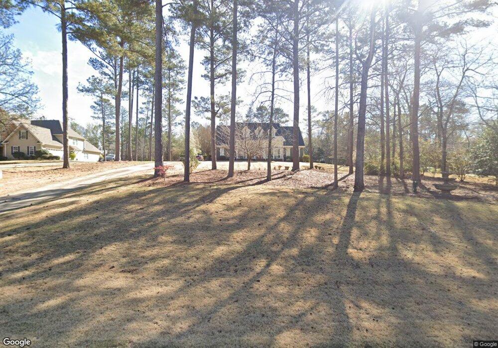
506 Riverside Dr Lagrange, GA 30240
Estimated Value: $478,291 - $557,000
4
Beds
3
Baths
3,466
Sq Ft
$147/Sq Ft
Est. Value
About This Home
This home is located at 506 Riverside Dr, Lagrange, GA 30240 and is currently estimated at $510,823, approximately $147 per square foot. 506 Riverside Dr is a home located in Troup County with nearby schools including Ethel W. Kight Elementary School, Hollis Hand Elementary School, and Franklin Forest Elementary School.
Ownership History
Date
Name
Owned For
Owner Type
Purchase Details
Closed on
Feb 28, 2002
Sold by
Knight Knight and Knight Knight
Bought by
Stephens John W and Stephens Linda L
Current Estimated Value
Purchase Details
Closed on
Dec 19, 1980
Bought by
Knight Knight and Knight Knight
Create a Home Valuation Report for This Property
The Home Valuation Report is an in-depth analysis detailing your home's value as well as a comparison with similar homes in the area
Home Values in the Area
Average Home Value in this Area
Purchase History
| Date | Buyer | Sale Price | Title Company |
|---|---|---|---|
| Stephens John W | $40,000 | -- | |
| Knight Knight | -- | -- |
Source: Public Records
Tax History Compared to Growth
Tax History
| Year | Tax Paid | Tax Assessment Tax Assessment Total Assessment is a certain percentage of the fair market value that is determined by local assessors to be the total taxable value of land and additions on the property. | Land | Improvement |
|---|---|---|---|---|
| 2024 | $4,517 | $167,600 | $20,000 | $147,600 |
| 2023 | $4,424 | $164,200 | $20,000 | $144,200 |
| 2022 | $4,215 | $153,000 | $20,000 | $133,000 |
| 2021 | $3,937 | $132,520 | $20,000 | $112,520 |
| 2020 | $3,937 | $132,520 | $20,000 | $112,520 |
| 2019 | $3,685 | $124,160 | $16,000 | $108,160 |
| 2018 | $3,685 | $124,160 | $16,000 | $108,160 |
| 2017 | $3,685 | $124,160 | $16,000 | $108,160 |
| 2016 | $3,755 | $126,477 | $16,000 | $110,477 |
| 2015 | $3,761 | $126,477 | $16,000 | $110,477 |
| 2014 | $2,835 | $95,659 | $16,000 | $79,659 |
| 2013 | -- | $101,908 | $16,000 | $85,908 |
Source: Public Records
Map
Nearby Homes
- 709 Vernon Ferry Rd
- 150 N Lake Dr
- 0 Deming St Unit 10550189
- 103 Dogwood Ct
- 883 Vernon Ferry Rd
- LOT 4 Angela Dr
- 4004 White Oak Ln
- E Angela Dr
- 207 Lakeshore Way
- 3010 White Oak Ct
- 104 Dogwood Point
- 226 Linda Ln
- 135 Planters Ridge Dr
- 200 Cheyenne Dr
- 116 Highland Pointe Dr
- 208 Highland Trail
- 124 Foxdale Dr
- 100 Huntcliff Ct
- 456 Whitaker Rd
- 190 Hill Rd
- 508 Riverside Dr
- 504 Riverside Dr
- 510 Riverside Dr
- 502 Riverside Dr
- 111 Bonny Oaks Dr
- 113 Bonny Oaks Dr
- 507 Riverside Dr
- 505 Riverside Dr
- 101 Bonny Oaks Dr
- 509 Riverside Dr
- 503 Riverside Dr
- 107 Bonny Oaks Dr
- 107 Bonny Oaks Dr Unit Lot 16
- 512 Riverside Dr
- 117 Bonny Oaks Dr Unit 13
- 117 Bonny Oaks Dr
- 0 Bonny Oaks Dr Unit 8553771
- 0 Bonny Oaks Dr Unit 8405054
- 0 Bonny Oaks Dr Unit 7248645
- 0 Bonny Oaks Dr Unit 2492333