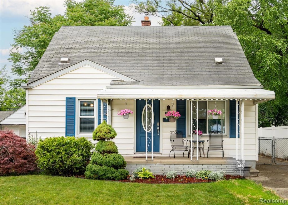
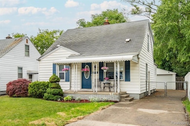
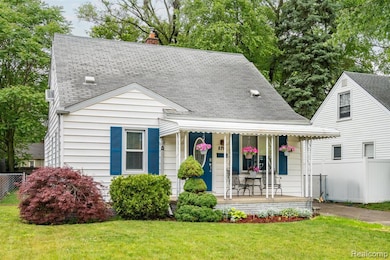


$325,000
- 3 Beds
- 2 Baths
- 994 Sq Ft
- 1506 E Windemere Ave
- Royal Oak, MI
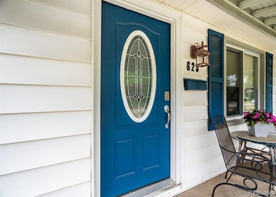
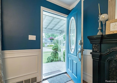
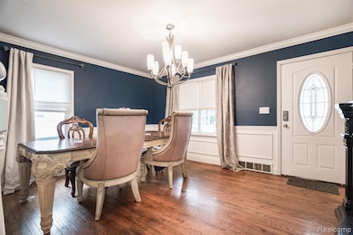
Royal Oak at its best! This 3 bedroom ranch has a ton to offer. Great open floor plan perfect for entertaining. Hardwood floors throughout the home. Enjoy extra living space in the finished basement including a 2nd full bath. Huge back yard with a covered patio is great for enjoying the outdoors. Full fenced yard.
Rodger Dabish RE/MAX Classic