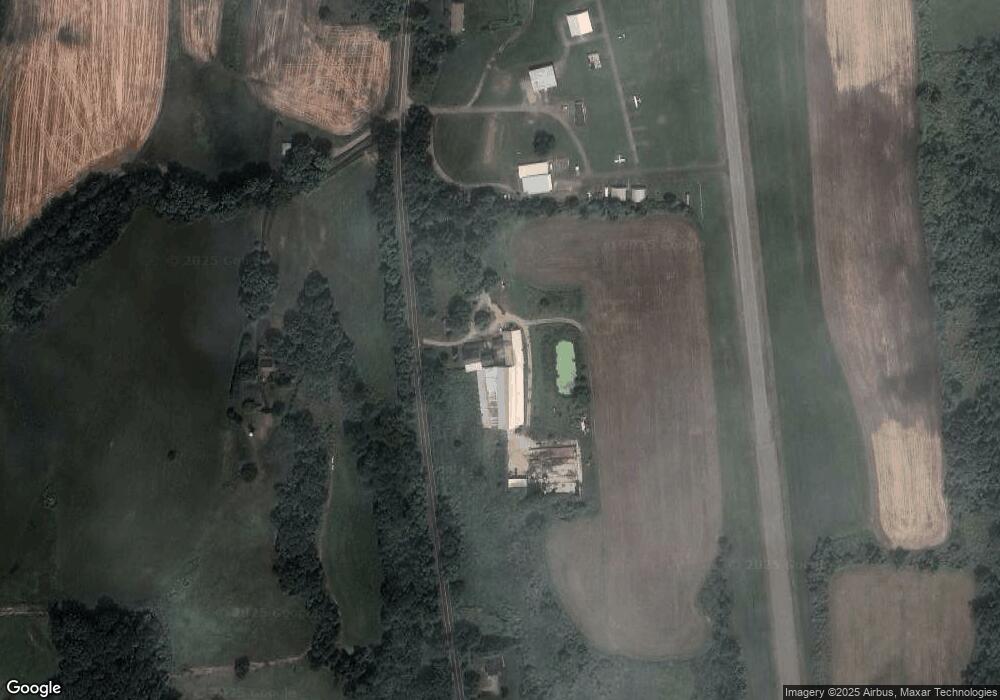
65 Route 169 Woodstock, CT 06281
Estimated Value: $425,293 - $723,000
3
Beds
2
Baths
1,509
Sq Ft
$349/Sq Ft
Est. Value
About This Home
This home is located at 65 Route 169, Woodstock, CT 06281 and is currently estimated at $526,098, approximately $348 per square foot. 65 Route 169 is a home located in Windham County with nearby schools including Woodstock Elementary School, Woodstock Middle School, and Rectory School.
Create a Home Valuation Report for This Property
The Home Valuation Report is an in-depth analysis detailing your home's value as well as a comparison with similar homes in the area
Home Values in the Area
Average Home Value in this Area
Tax History Compared to Growth
Tax History
| Year | Tax Paid | Tax Assessment Tax Assessment Total Assessment is a certain percentage of the fair market value that is determined by local assessors to be the total taxable value of land and additions on the property. | Land | Improvement |
|---|---|---|---|---|
| 2024 | $4,447 | $193,010 | $51,410 | $141,600 |
| 2023 | $4,325 | $193,010 | $51,410 | $141,600 |
| 2022 | $4,024 | $193,010 | $51,410 | $141,600 |
| 2021 | $4,449 | $174,470 | $45,770 | $128,700 |
| 2020 | $3,887 | $158,670 | $45,770 | $112,900 |
| 2019 | $3,887 | $158,670 | $45,770 | $112,900 |
| 2018 | $3,887 | $158,670 | $45,770 | $112,900 |
| 2017 | $3,856 | $158,670 | $45,770 | $112,900 |
| 2016 | $3,329 | $138,480 | $48,380 | $90,100 |
| 2015 | $3,235 | $138,480 | $48,380 | $90,100 |
| 2014 | $3,199 | $138,480 | $48,380 | $90,100 |
Source: Public Records
Map
Nearby Homes
- 223 Route 169
- 76 Mill Brook Ln
- 39 Grey Fox Landing
- 326 Route 169
- 6 & 8 Stone Bridge Rd
- 182 Baxter Rd
- 42 Roseland Park Rd
- 366 Sabin St
- 144 Underwood Rd
- 27 Longmeadow Dr
- 297 Sabin St Unit 12
- 297 Sabin St Unit 6
- 118 Putnam Rd
- 257 Sabin St Unit 23
- 36 Dunleavy Dr
- 1 Cornfield Point
- 30 Tyrone Rd
- 32 Hurlbut St
- 201 Woodstock Ave Unit 203
- 602 Pomfret St
