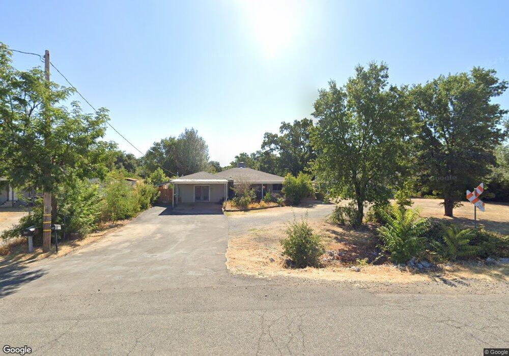
6933 Airport Rd Redding, CA 96002
Estimated Value: $355,746 - $489,000
About This Home
This home is located at 6933 Airport Rd, Redding, CA 96002 and is currently estimated at $399,437, approximately $245 per square foot. 6933 Airport Rd is a home located in Shasta County with nearby schools including Prairie Elementary School, Pacheco Elementary School, and Northern Summit Academy.
Ownership History
We collect this data history from publicly available records. To have your information removed, we recommend requesting removal directly through your county’s website.
Purchase Details
Home Financials for this Owner
Home Financials are based on the most recent Mortgage that was taken out on this home.Purchase History
We collect this data history from publicly available records. To have your information removed, we recommend requesting removal directly through your county’s website.
| Date | Buyer | Sale Price | Title Company |
|---|---|---|---|
| $103,000 | Fidelity National Title Co |
Mortgage History
We collect this data history from publicly available records. To have your information removed, we recommend requesting removal directly through your county’s website.
| Date | Status | Borrower | Loan Amount |
|---|---|---|---|
| Open | $93,000 |
Tax History
We collect this data history from publicly available records. To have your information removed, we recommend requesting removal directly through your county’s website.
| Year | Tax Paid | Tax Assessment Tax Assessment Total Assessment is a certain percentage of the fair market value that is determined by local assessors to be the total taxable value of land and additions on the property. | Land | Improvement |
|---|---|---|---|---|
| 2025 | $1,877 | $191,218 | $44,305 | $146,913 |
| 2024 | $1,838 | $179,970 | $43,437 | $136,533 |
| 2023 | $1,838 | $176,442 | $42,586 | $133,856 |
| 2022 | $1,791 | $172,983 | $41,751 | $131,232 |
| 2021 | $1,761 | $169,592 | $40,933 | $128,659 |
| 2020 | $1,739 | $167,854 | $40,514 | $127,340 |
| 2019 | $1,715 | $164,564 | $39,720 | $124,844 |
| 2018 | $1,647 | $161,339 | $38,942 | $122,397 |
| 2017 | $1,668 | $158,177 | $38,179 | $119,998 |
| 2016 | $1,576 | $155,077 | $37,431 | $117,646 |
| 2015 | $1,574 | $152,748 | $36,869 | $115,879 |
| 2014 | $1,554 | $149,757 | $36,147 | $113,610 |
Map
- 20573 Sunset Ln
- 20577 Sunset Ln
- 6909 Granada Dr
- 20221 Goleta Ct
- 20221 Sombrero Ct
- 0000 Riata Dr
- 7530 Lockheed Dr
- 6908 Riata Dr
- 7520 Lockheed Dr
- 7038 Riata Dr
- 7067 Tucker Ln
- 7587 Fiesta Way
- 7100 Amigo Way
- 7273 Amigo Way
- 21126 Scheer Dr
- 3476 Shasta Dr
- 9 Poppy Ct
- 19482 Knighton Rd
- 0 Milky Way
- 0 North St
- 6937 Skyway St
- 6945 Skyway St
- 6941 Skyway St
- 8187 Airport Rd
- 6903 Airport Rd
- 6944 Russell Ln
- 20538 Lassen View Ln
- 6953 Skyway St
- 6963 Skyway St
- 6885 Airport Rd
- 20550 Lassen View Ln
- 6917 Russell Ln
- 6931 Russell Ln
- 6911 Russell Ln
- 6943 Russell Ln
- 6953 Russell Ln
- 6965 Russell Ln
- 6869 Airport Rd
- 6971 Russell Ln
- 4087 Fig Tree Ln
Ask me questions while you tour the home.