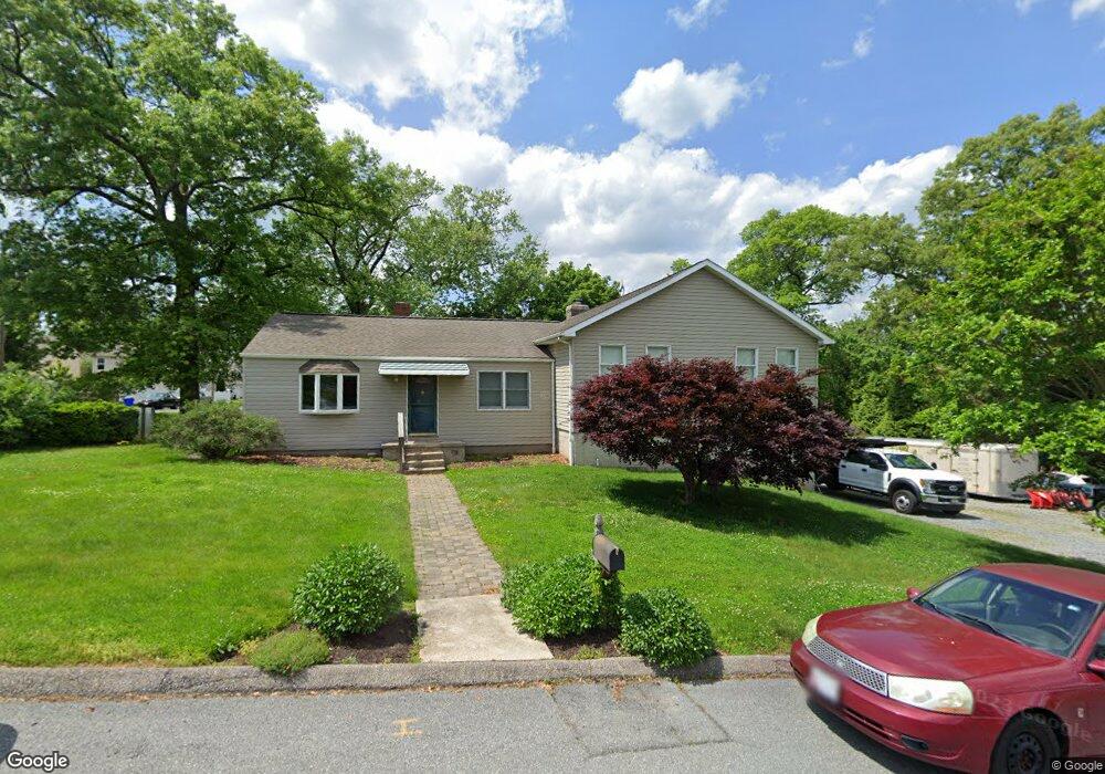
6974 Lennox Ave Elkridge, MD 21075
Estimated Value: $540,601 - $684,000
--
Bed
3
Baths
2,276
Sq Ft
$266/Sq Ft
Est. Value
About This Home
This home is located at 6974 Lennox Ave, Elkridge, MD 21075 and is currently estimated at $605,150, approximately $265 per square foot. 6974 Lennox Ave is a home located in Howard County with nearby schools including Hanover Hills Elementary, Thomas Viaduct Middle School, and Oakland Mills High School.
Ownership History
Date
Name
Owned For
Owner Type
Purchase Details
Closed on
Dec 16, 1993
Sold by
Bounds R L
Bought by
Bennett Ronald A
Current Estimated Value
Home Financials for this Owner
Home Financials are based on the most recent Mortgage that was taken out on this home.
Original Mortgage
$91,412
Interest Rate
7.03%
Create a Home Valuation Report for This Property
The Home Valuation Report is an in-depth analysis detailing your home's value as well as a comparison with similar homes in the area
Home Values in the Area
Average Home Value in this Area
Purchase History
| Date | Buyer | Sale Price | Title Company |
|---|---|---|---|
| Bennett Ronald A | $90,800 | -- |
Source: Public Records
Mortgage History
| Date | Status | Borrower | Loan Amount |
|---|---|---|---|
| Open | Bennett Ronald A | $10,655 | |
| Open | Bennett Ronald A | $394,077 | |
| Closed | Bennett Ronald A | $324,000 | |
| Closed | Bennett Ronald A | $70,000 | |
| Closed | Bennett Ronald A | $165,100 | |
| Closed | Bennett Ronald A | $91,412 |
Source: Public Records
Tax History Compared to Growth
Tax History
| Year | Tax Paid | Tax Assessment Tax Assessment Total Assessment is a certain percentage of the fair market value that is determined by local assessors to be the total taxable value of land and additions on the property. | Land | Improvement |
|---|---|---|---|---|
| 2025 | $6,415 | $424,100 | $0 | $0 |
| 2024 | $6,415 | $403,600 | $0 | $0 |
| 2023 | $5,960 | $383,100 | $173,800 | $209,300 |
| 2022 | $5,920 | $383,100 | $173,800 | $209,300 |
| 2021 | $5,923 | $383,100 | $173,800 | $209,300 |
| 2020 | $5,923 | $383,300 | $130,800 | $252,500 |
| 2019 | $5,786 | $373,767 | $0 | $0 |
| 2018 | $5,349 | $364,233 | $0 | $0 |
| 2017 | $5,199 | $354,700 | $0 | $0 |
| 2016 | -- | $329,800 | $0 | $0 |
| 2015 | -- | $304,900 | $0 | $0 |
| 2014 | -- | $280,000 | $0 | $0 |
Source: Public Records
Map
Nearby Homes
- 6984 Elm Ave
- 7140 Ohio Ave
- 7147 Ohio Ave
- 7185 Ohio Ave
- 7583 Marston Way
- 7505 Ledgers Way
- 7444 Saint Margarets Blvd Unit A
- 7020 Foxton Way
- 7205 Forest Ave
- 7209 Forest Ave
- 7310 Harlow Way Unit A
- 7120 Beaumont Place
- 7143 Beaumont Place Unit B
- 1704 Copperleaf Blvd
- 7105 Druce Way
- Brentwood Plan at Copperleaf
- Dover Craftsman Plan at Copperleaf
- Aspen Plan at Copperleaf
- Greenbrier Plan at Copperleaf
- Sherwood Plan at Copperleaf
- 6952 Lennox Ave
- 7004 Lennox Ave
- 6960 Linden Ave
- 6955 Lennox Ave
- 6944 Linden Ave
- 6948 Lennox Ave
- 6931 Magnolia Ave
- 6959 Linden Ave
- 6949 Lennox Ave
- 7008 Lennox Ave
- 6945 Linden Ave
- 6933 Magnolia Ave
- 6909 Magnolia Ave
- 6946 Lennox Ave
- 6935 Magnolia Ave
- 7012 Lennox Ave
- 6939 Linden Ave
- 6970 Linden Ave
- 6905 Magnolia Ave
- 6932 Linden Ave