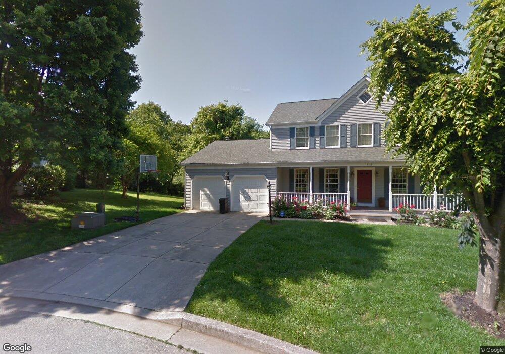
8113 N Slope Path Columbia, MD 21045
Long Reach NeighborhoodEstimated Value: $734,562 - $766,000
--
Bed
1
Bath
2,338
Sq Ft
$319/Sq Ft
Est. Value
About This Home
This home is located at 8113 N Slope Path, Columbia, MD 21045 and is currently estimated at $746,391, approximately $319 per square foot. 8113 N Slope Path is a home located in Howard County with nearby schools including Deep Run Elementary School, Mayfield Woods Middle School, and Long Reach High School.
Ownership History
Date
Name
Owned For
Owner Type
Purchase Details
Closed on
Oct 23, 2002
Sold by
Overman Daniel H
Bought by
Messick Spriggs Wendy C
Current Estimated Value
Purchase Details
Closed on
Apr 16, 1992
Sold by
Schapiro Mark B
Bought by
Overman Daniel H
Home Financials for this Owner
Home Financials are based on the most recent Mortgage that was taken out on this home.
Original Mortgage
$171,000
Interest Rate
8.84%
Purchase Details
Closed on
Mar 2, 1989
Sold by
Nu Homes Inc
Bought by
Schapiro Mark B
Home Financials for this Owner
Home Financials are based on the most recent Mortgage that was taken out on this home.
Original Mortgage
$213,600
Interest Rate
10.78%
Create a Home Valuation Report for This Property
The Home Valuation Report is an in-depth analysis detailing your home's value as well as a comparison with similar homes in the area
Home Values in the Area
Average Home Value in this Area
Purchase History
| Date | Buyer | Sale Price | Title Company |
|---|---|---|---|
| Messick Spriggs Wendy C | $359,000 | -- | |
| Overman Daniel H | $261,000 | -- | |
| Schapiro Mark B | $237,400 | -- |
Source: Public Records
Mortgage History
| Date | Status | Borrower | Loan Amount |
|---|---|---|---|
| Open | Messick Wendy | $332,500 | |
| Closed | Messick Spriggs Wendy C | $405,855 | |
| Closed | Spriggs Wendy C Messick | $424,297 | |
| Closed | Spriggs Wendy C Messick | $155,474 | |
| Closed | Messick Springgs Wendy C | $10,245 | |
| Previous Owner | Overman Daniel H | $171,000 | |
| Previous Owner | Schapiro Mark B | $213,600 | |
| Closed | Messick Spriggs Wendy C | -- |
Source: Public Records
Tax History Compared to Growth
Tax History
| Year | Tax Paid | Tax Assessment Tax Assessment Total Assessment is a certain percentage of the fair market value that is determined by local assessors to be the total taxable value of land and additions on the property. | Land | Improvement |
|---|---|---|---|---|
| 2024 | $8,502 | $560,800 | $0 | $0 |
| 2023 | $7,941 | $521,000 | $188,700 | $332,300 |
| 2022 | $7,585 | $498,967 | $0 | $0 |
| 2021 | $7,110 | $476,933 | $0 | $0 |
| 2020 | $6,952 | $454,900 | $164,300 | $290,600 |
| 2019 | $6,952 | $454,900 | $164,300 | $290,600 |
| 2018 | $6,726 | $454,900 | $164,300 | $290,600 |
| 2017 | $7,215 | $492,100 | $0 | $0 |
| 2016 | $1,505 | $482,567 | $0 | $0 |
| 2015 | $1,505 | $473,033 | $0 | $0 |
| 2014 | $1,468 | $463,500 | $0 | $0 |
Source: Public Records
Map
Nearby Homes
- 6168 Silver Arrows Way
- 6329 Soft Thunder Trail
- 6135 Silver Arrows Way
- 6329 Saddle Dr
- 6126 Quiet Times
- 6228 Painted Yellow Gate
- 6330 Gray Sea Way
- 6343 Wind Rider Way
- 6228 Deep Earth Ln
- 6389 Wind Rider Way
- 6119 Starburn Path
- 8569 Black Star Cir
- 8013 Green Tree Ct
- 5900 Millrace Ct Unit A102
- 8012 Roland Ct
- 8790 Sage Brush Way
- 5803 Lois Ln
- 7817 Falling Leaves Ct
- 8010 Hillrise Ct
- 8005 Hillrise Ct
- 8113 North Slope Path
- 8108 N Slope Path
- 8109 North Slope Path
- 8108 North Slope Path
- 8114 Tide Rock Square
- 8104 North Slope Path
- 8104 N Slope Path
- 8105 North Slope Path
- 8118 Tide Rock Square
- 8109 North Slope Path
- 8110 Tide Rock Square
- 8197 Tamar Dr
- 8191 Tamar Dr
- 8187 Tamar Dr
- 8106 Tide Rock Square
- 8183 Tamar Dr
- 8115 Tide Rock Square
- 8179 Tamar Dr
- 8111 Tide Rock Square
- 8198 Tamar Dr