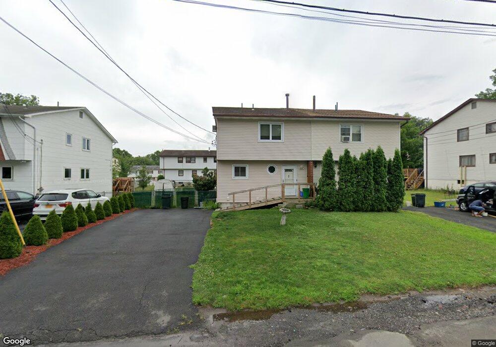
82 Division Ave Spring Valley, NY 10977
Estimated Value: $552,749 - $825,000
4
Beds
3
Baths
1,638
Sq Ft
$435/Sq Ft
Est. Value
About This Home
This home is located at 82 Division Ave, Spring Valley, NY 10977 and is currently estimated at $712,187, approximately $434 per square foot. 82 Division Ave is a home located in Rockland County with nearby schools including Fleetwood Elementary School, Chestnut Ridge Middle School, and Spring Valley High School.
Ownership History
Date
Name
Owned For
Owner Type
Purchase Details
Closed on
Apr 17, 2007
Sold by
Morse Floyd and Morse Carol V
Bought by
Morse Aaron Lloyd
Current Estimated Value
Home Financials for this Owner
Home Financials are based on the most recent Mortgage that was taken out on this home.
Original Mortgage
$328,500
Outstanding Balance
$264,365
Interest Rate
6.24%
Mortgage Type
Adjustable Rate Mortgage/ARM
Estimated Equity
$447,822
Create a Home Valuation Report for This Property
The Home Valuation Report is an in-depth analysis detailing your home's value as well as a comparison with similar homes in the area
Home Values in the Area
Average Home Value in this Area
Purchase History
| Date | Buyer | Sale Price | Title Company |
|---|---|---|---|
| Morse Aaron Lloyd | -- | -- | |
| Morse Aaron Lloyd | -- | Ticor Title Insurance Co | |
| Morse Aaron Lloyd | -- | Ticor Title Insurance Co |
Source: Public Records
Mortgage History
| Date | Status | Borrower | Loan Amount |
|---|---|---|---|
| Open | Morse Aaron Lloyd | $328,500 | |
| Closed | Morse Aaron Lloyd | $0 |
Source: Public Records
Tax History Compared to Growth
Tax History
| Year | Tax Paid | Tax Assessment Tax Assessment Total Assessment is a certain percentage of the fair market value that is determined by local assessors to be the total taxable value of land and additions on the property. | Land | Improvement |
|---|---|---|---|---|
| 2024 | $18,007 | $39,500 | $5,200 | $34,300 |
| 2023 | $18,007 | $39,500 | $5,200 | $34,300 |
| 2022 | $16,801 | $39,500 | $5,200 | $34,300 |
| 2021 | $6,922 | $39,500 | $5,200 | $34,300 |
| 2020 | $12,055 | $39,500 | $5,200 | $34,300 |
| 2019 | $12,546 | $39,500 | $5,200 | $34,300 |
| 2018 | $12,546 | $39,500 | $5,200 | $34,300 |
| 2017 | $10,767 | $39,500 | $5,200 | $34,300 |
| 2016 | $10,573 | $39,500 | $5,200 | $34,300 |
| 2015 | -- | $39,500 | $5,200 | $34,300 |
| 2014 | -- | $37,300 | $5,200 | $32,100 |
Source: Public Records
Map
Nearby Homes
- 76 Division Ave
- 66 Gerow Ave
- 94 Fairview Ave Unit 201
- 12 Omni Parc Dr
- 14 Omni Parc Dr
- 5 Omni Parc Dr Unit A5
- 12-14 Lincoln St
- 43 Division Ave
- 18 E Castle Ave
- 60 S Central Ave
- 3 Jay St Unit 214
- 83 Pipetown Hill Rd
- 204 Town Hill Rd Unit B7
- 3 E Funston Ave Unit 320
- 3 E Funston Ave Unit 220
- 119 S Main St Unit B
- 8 W Funston Ave
- 79 S Madison Ave Unit 213
- 79 S Madison Ave Unit 201
- 115 S Madison Ave Unit 211