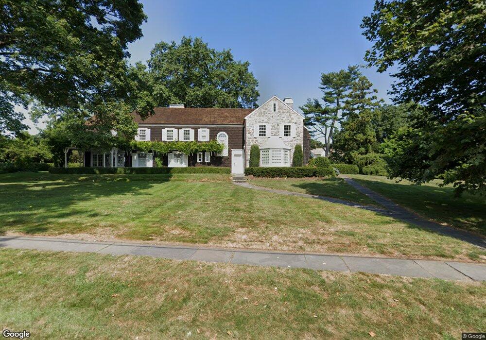
968 Harbor Rd Southport, CT 06890
Southport NeighborhoodEstimated Value: $4,140,000 - $6,265,000
6
Beds
9
Baths
6,934
Sq Ft
$750/Sq Ft
Est. Value
About This Home
This home is located at 968 Harbor Rd, Southport, CT 06890 and is currently estimated at $5,202,500, approximately $750 per square foot. 968 Harbor Rd is a home located in Fairfield County with nearby schools including Mill Hill School, Roger Ludlowe Middle School, and Fairfield Ludlowe High School.
Ownership History
Date
Name
Owned For
Owner Type
Purchase Details
Closed on
Feb 7, 2025
Sold by
Saxl Richard H
Bought by
Patricia Mcgovern Koren T and Patricia Koren
Current Estimated Value
Purchase Details
Closed on
Dec 27, 2024
Sold by
Mcgovern-Koren Patricia and Koren John Y
Bought by
Saxl Richard H
Purchase Details
Closed on
Feb 9, 1993
Sold by
Baldwin Henry D and David Obrien C
Bought by
Koren Kristin B
Create a Home Valuation Report for This Property
The Home Valuation Report is an in-depth analysis detailing your home's value as well as a comparison with similar homes in the area
Home Values in the Area
Average Home Value in this Area
Purchase History
| Date | Buyer | Sale Price | Title Company |
|---|---|---|---|
| Patricia Mcgovern Koren T | -- | None Available | |
| Patricia Mcgovern Koren T | -- | None Available | |
| Saxl Richard H | -- | None Available | |
| Saxl Richard H | -- | None Available | |
| Koren Patricia M | -- | None Available | |
| Koren Patricia M | -- | None Available | |
| Koren Kristin B | $600,000 | -- | |
| Koren John | $1,400,000 | -- | |
| Koren John | $1,400,000 | -- |
Source: Public Records
Mortgage History
| Date | Status | Borrower | Loan Amount |
|---|---|---|---|
| Previous Owner | Koren John | $3,000,000 | |
| Previous Owner | Koren John | $3,000,000 | |
| Previous Owner | Koren John | $3,000,000 |
Source: Public Records
Tax History Compared to Growth
Tax History
| Year | Tax Paid | Tax Assessment Tax Assessment Total Assessment is a certain percentage of the fair market value that is determined by local assessors to be the total taxable value of land and additions on the property. | Land | Improvement |
|---|---|---|---|---|
| 2025 | $91,161 | $3,211,040 | $2,373,000 | $838,040 |
| 2024 | $86,713 | $3,108,000 | $2,373,000 | $735,000 |
| 2023 | $85,875 | $3,121,580 | $2,386,580 | $735,000 |
| 2022 | $85,032 | $3,121,580 | $2,386,580 | $735,000 |
| 2021 | $92,611 | $3,432,590 | $2,697,590 | $735,000 |
| 2020 | $102,954 | $3,843,000 | $3,068,170 | $774,830 |
| 2019 | $102,954 | $3,843,000 | $3,068,170 | $774,830 |
| 2018 | $101,301 | $3,843,000 | $3,068,170 | $774,830 |
| 2017 | $99,226 | $3,843,000 | $3,068,170 | $774,830 |
| 2016 | $97,804 | $3,843,000 | $3,068,170 | $774,830 |
| 2015 | $96,457 | $3,890,950 | $3,085,390 | $805,560 |
| 2014 | $94,939 | $3,890,950 | $3,085,390 | $805,560 |
Source: Public Records
Map
Nearby Homes
- 1060 Harbor Rd
- 260 Willow St
- 346 Taintor Dr
- 3 Parsell Ln
- 828 Sasco Hill Rd
- 668 Kings Hwy W
- 101 Southport Woods Dr
- 1131 Sasco Hill Rd
- 116 Southport Woods Dr
- 69 River St
- 111 Mill Hill Rd
- 154 Gorham Rd
- 972 S Pine Creek Rd
- 131 Sasco Hill Rd
- 24 Tide Mill Terrace
- 992 S Pine Creek Rd Unit 992
- 122 Beachside Ave
- 355 Greens Farms Rd
- 868 S Pine Creek Rd
- 7 Roshab Ln