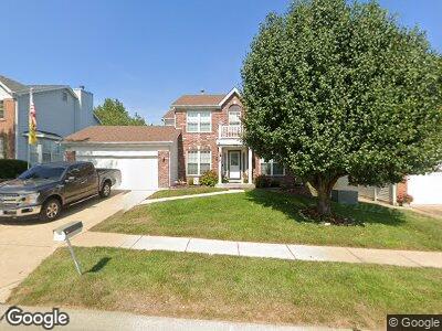
10018 Grant Meadow Ln Saint Louis, MO 63123
Affton NeighborhoodEstimated Value: $417,055 - $458,000
4
Beds
3
Baths
1,990
Sq Ft
$221/Sq Ft
Est. Value
About This Home
This home is located at 10018 Grant Meadow Ln, Saint Louis, MO 63123 and is currently estimated at $440,514, approximately $221 per square foot. 10018 Grant Meadow Ln is a home located in St. Louis County with nearby schools including Bierbaum Elementary School, Margaret Buerkle Middle School, and Mehlville High School.
Ownership History
Date
Name
Owned For
Owner Type
Purchase Details
Closed on
Aug 10, 2000
Sold by
Marilisa Percich and Heiderscheid Mark
Bought by
Mebruer David M and Mebruer Christine M
Current Estimated Value
Home Financials for this Owner
Home Financials are based on the most recent Mortgage that was taken out on this home.
Original Mortgage
$190,000
Interest Rate
8.75%
Create a Home Valuation Report for This Property
The Home Valuation Report is an in-depth analysis detailing your home's value as well as a comparison with similar homes in the area
Home Values in the Area
Average Home Value in this Area
Purchase History
| Date | Buyer | Sale Price | Title Company |
|---|---|---|---|
| Mebruer David M | $200,000 | -- |
Source: Public Records
Mortgage History
| Date | Status | Borrower | Loan Amount |
|---|---|---|---|
| Open | Mebruer David M | $238,000 | |
| Closed | Mebruer Christine M | $9,192 | |
| Closed | Mebruer David M | $10,000 | |
| Closed | Mebruer Christine M | $261,318 | |
| Closed | David David M | $35,000 | |
| Previous Owner | Mebruer David M | $190,000 |
Source: Public Records
Tax History Compared to Growth
Tax History
| Year | Tax Paid | Tax Assessment Tax Assessment Total Assessment is a certain percentage of the fair market value that is determined by local assessors to be the total taxable value of land and additions on the property. | Land | Improvement |
|---|---|---|---|---|
| 2023 | $4,694 | $70,300 | $12,980 | $57,320 |
| 2022 | $3,956 | $54,970 | $10,070 | $44,900 |
| 2021 | $3,509 | $54,970 | $10,070 | $44,900 |
| 2020 | $3,674 | $54,760 | $9,290 | $45,470 |
| 2019 | $3,663 | $54,760 | $9,290 | $45,470 |
| 2018 | $3,492 | $47,120 | $8,490 | $38,630 |
| 2017 | $3,487 | $47,120 | $8,490 | $38,630 |
| 2016 | $3,465 | $44,920 | $10,070 | $34,850 |
| 2015 | $3,248 | $44,920 | $10,070 | $34,850 |
| 2014 | $3,419 | $46,840 | $8,190 | $38,650 |
Source: Public Records
Map
Nearby Homes
- 9765 Tesson Creek Estates Dr
- 10025 Stonell Dr
- 9914 Bonton Dr
- 9743 Tesson Ferry Rd
- 10097 Buffton Dr
- 9751 Newham Dr Unit 11G
- 9740 Bexley Station Dr Unit 7I
- 9748 Mackenzie Rd
- 9413 Koerber Ln
- 10161 Squire Meadows Dr Unit C
- 9758 Jarris Dr
- 9207 Reavis Barracks Rd
- 9733 Cisco Dr
- 9549 Tesson Ferry Rd
- 4828 Reavis Barracks Rd
- 9525 Berwick Dr
- 10699 Tesson Ferry Rd
- 9517 Lydell Dr
- 9205 Radiom Dr
- 10123 Mullally Dr