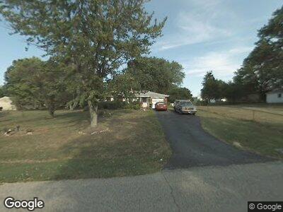
10118 Breezy Ln Cincinnati, OH 45241
West Chester Township NeighborhoodEstimated Value: $230,695 - $301,000
3
Beds
1
Bath
988
Sq Ft
$269/Sq Ft
Est. Value
About This Home
This home is located at 10118 Breezy Ln, Cincinnati, OH 45241 and is currently estimated at $265,424, approximately $268 per square foot. 10118 Breezy Ln is a home located in Butler County with nearby schools including Stewart Elementary School, Princeton Community Middle School, and Princeton High School.
Ownership History
Date
Name
Owned For
Owner Type
Purchase Details
Closed on
Dec 11, 1997
Sold by
Bloom Sandra Kay
Bought by
Bloom David Michael
Current Estimated Value
Purchase Details
Closed on
Jun 10, 1994
Sold by
Gunther Patricia A
Bought by
Bloom David M and Bloom Sandra
Home Financials for this Owner
Home Financials are based on the most recent Mortgage that was taken out on this home.
Original Mortgage
$73,800
Interest Rate
8.45%
Mortgage Type
New Conventional
Purchase Details
Closed on
Dec 1, 1986
Create a Home Valuation Report for This Property
The Home Valuation Report is an in-depth analysis detailing your home's value as well as a comparison with similar homes in the area
Home Values in the Area
Average Home Value in this Area
Purchase History
| Date | Buyer | Sale Price | Title Company |
|---|---|---|---|
| Bloom David Michael | -- | -- | |
| Bloom David M | $82,000 | -- | |
| -- | $62,000 | -- |
Source: Public Records
Mortgage History
| Date | Status | Borrower | Loan Amount |
|---|---|---|---|
| Open | Bloom David Michael | $31,758 | |
| Open | Bloom David Michael | $87,000 | |
| Closed | Bloom David Michael | $74,500 | |
| Closed | Bloom David Michael | $18,300 | |
| Closed | Bloom David Michael | $78,100 | |
| Closed | Bloom David Michael | $28,000 | |
| Closed | Bloom David M | $81,000 | |
| Closed | Bloom David Michael | $6,000 | |
| Closed | Bloom David M | $73,800 |
Source: Public Records
Tax History Compared to Growth
Tax History
| Year | Tax Paid | Tax Assessment Tax Assessment Total Assessment is a certain percentage of the fair market value that is determined by local assessors to be the total taxable value of land and additions on the property. | Land | Improvement |
|---|---|---|---|---|
| 2024 | $2,083 | $58,920 | $18,680 | $40,240 |
| 2023 | $2,063 | $58,920 | $18,680 | $40,240 |
| 2022 | $2,101 | $48,250 | $18,680 | $29,570 |
| 2021 | $2,008 | $48,250 | $18,680 | $29,570 |
| 2020 | $2,102 | $48,250 | $18,680 | $29,570 |
| 2019 | $1,977 | $41,410 | $17,300 | $24,110 |
| 2018 | $1,839 | $41,410 | $17,300 | $24,110 |
| 2017 | $1,858 | $41,410 | $17,300 | $24,110 |
| 2016 | $1,761 | $38,150 | $17,300 | $20,850 |
| 2015 | $1,744 | $38,150 | $17,300 | $20,850 |
| 2014 | $1,731 | $38,150 | $17,300 | $20,850 |
| 2013 | $1,731 | $38,770 | $13,180 | $25,590 |
Source: Public Records
Map
Nearby Homes
- 12112 Coyote Ct
- 6001 Trowbridge Dr
- 7199 Fieldstone Ct
- 6868 Hummingbird Dr
- 9616 Holly Leaf Cir
- 11714 Honeywell Dr
- 5600 E Kemper Rd
- 6010 E Kemper Rd
- 7471 Rodney Ct
- 9866 Tall Timber Dr
- 9863 Coventry Ct
- 11665 Grooms Rd
- 8391 Dimmick Rd
- 8141 Stone Dr
- 8141 Stone Dr
- 8141 Stone Dr
- 8141 Stone Dr
- 8141 Stone Dr
- 8141 Stone Dr
- 8141 Stone Dr