106 Sprouse Ln Grover, NC 28073
Estimated Value: $82,715 - $173,000
--
Bed
--
Bath
980
Sq Ft
$133/Sq Ft
Est. Value
About This Home
This home is located at 106 Sprouse Ln, Grover, NC 28073 and is currently estimated at $130,429, approximately $133 per square foot. 106 Sprouse Ln is a home located in Cleveland County with nearby schools including Grover Elementary School, Kings Mountain Middle, and Kings Mountain Intermediate School.
Ownership History
Date
Name
Owned For
Owner Type
Purchase Details
Closed on
Sep 14, 2006
Sold by
Adrian Chris and Jones Debbie A
Bought by
Sellars Donald and Sellers Rhonda C
Current Estimated Value
Home Financials for this Owner
Home Financials are based on the most recent Mortgage that was taken out on this home.
Original Mortgage
$28,900
Interest Rate
9%
Mortgage Type
Future Advance Clause Open End Mortgage
Create a Home Valuation Report for This Property
The Home Valuation Report is an in-depth analysis detailing your home's value as well as a comparison with similar homes in the area
Home Values in the Area
Average Home Value in this Area
Purchase History
| Date | Buyer | Sale Price | Title Company |
|---|---|---|---|
| Sellars Donald | $34,000 | None Available |
Source: Public Records
Mortgage History
| Date | Status | Borrower | Loan Amount |
|---|---|---|---|
| Closed | Sellers Donald | $20,000 | |
| Closed | Sellars Donald | $28,900 | |
| Previous Owner | Jones Crris Adrian | $23,746 |
Source: Public Records
Tax History Compared to Growth
Tax History
| Year | Tax Paid | Tax Assessment Tax Assessment Total Assessment is a certain percentage of the fair market value that is determined by local assessors to be the total taxable value of land and additions on the property. | Land | Improvement |
|---|---|---|---|---|
| 2024 | $315 | $29,469 | $24,291 | $5,178 |
| 2023 | $313 | $29,469 | $24,291 | $5,178 |
| 2022 | $313 | $29,469 | $24,291 | $5,178 |
| 2021 | $312 | $29,469 | $24,291 | $5,178 |
| 2020 | $300 | $27,370 | $22,268 | $5,102 |
| 2019 | $300 | $27,370 | $22,268 | $5,102 |
| 2018 | $296 | $27,370 | $22,268 | $5,102 |
| 2017 | $294 | $27,370 | $22,268 | $5,102 |
| 2016 | $278 | $27,370 | $22,268 | $5,102 |
| 2015 | $289 | $28,671 | $18,871 | $9,800 |
| 2014 | $289 | $28,671 | $18,871 | $9,800 |
Source: Public Records
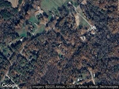
Map
Nearby Homes
- 213 N Timberland Dr
- 932 Long Branch Rd
- 103 E Timberland Dr
- 503 S Battleground Ave
- 822 Bethlehem Rd
- 1003 Cleveland Ave
- 907 Bethlehem Rd
- 105 Elm Rd
- 107 Plumtree Dr
- 119 Tara Terrace
- 305 Plantation Dr
- 107 Tara Terrace
- 108 Colonial Dr
- 205 Jim Patterson Rd
- 00 Bunny Run
- 134 Watterson Rd
- 109 Connor Ct
- 164 Blackburn Dr
- 1245 Cleveland Ave
- 0000 S Battleground Ave