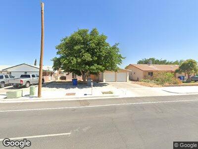
10737 Sam Snead Dr El Paso, TX 79935
Pico Norte NeighborhoodEstimated Value: $201,000 - $237,000
--
Bed
2
Baths
1,753
Sq Ft
$123/Sq Ft
Est. Value
About This Home
This home is located at 10737 Sam Snead Dr, El Paso, TX 79935 and is currently estimated at $214,771, approximately $122 per square foot. 10737 Sam Snead Dr is a home located in El Paso County with nearby schools including East Point Elementary School, Eastwood Middle School, and Eastwood High School.
Ownership History
Date
Name
Owned For
Owner Type
Purchase Details
Closed on
May 28, 1999
Sold by
Thompson Wallace T and Thompson Virginia S
Bought by
Ramirez Baudelio H and Ramirez Alma T
Current Estimated Value
Home Financials for this Owner
Home Financials are based on the most recent Mortgage that was taken out on this home.
Original Mortgage
$58,970
Interest Rate
6.91%
Mortgage Type
FHA
Purchase Details
Closed on
May 15, 1996
Sold by
Thompson Wallace T and Thompson Virginia S
Bought by
Thompson Wallace T and Thompson Virginia S
Create a Home Valuation Report for This Property
The Home Valuation Report is an in-depth analysis detailing your home's value as well as a comparison with similar homes in the area
Home Values in the Area
Average Home Value in this Area
Purchase History
| Date | Buyer | Sale Price | Title Company |
|---|---|---|---|
| Ramirez Baudelio H | -- | -- | |
| Thompson Wallace T | -- | -- |
Source: Public Records
Mortgage History
| Date | Status | Borrower | Loan Amount |
|---|---|---|---|
| Closed | Ramirez Baudelio H | $62,500 | |
| Closed | Ramirez Baudelio H | $58,970 |
Source: Public Records
Tax History Compared to Growth
Tax History
| Year | Tax Paid | Tax Assessment Tax Assessment Total Assessment is a certain percentage of the fair market value that is determined by local assessors to be the total taxable value of land and additions on the property. | Land | Improvement |
|---|---|---|---|---|
| 2023 | $2,564 | $149,551 | $0 | $0 |
| 2022 | $4,222 | $135,955 | $0 | $0 |
| 2021 | $4,017 | $128,363 | $21,924 | $106,439 |
| 2020 | $3,549 | $112,359 | $17,393 | $94,966 |
| 2018 | $3,498 | $112,494 | $17,393 | $95,101 |
| 2017 | $3,390 | $110,912 | $17,393 | $93,519 |
| 2016 | $3,390 | $110,912 | $17,393 | $93,519 |
| 2015 | $2,610 | $110,912 | $17,393 | $93,519 |
| 2014 | $2,610 | $110,885 | $17,393 | $93,492 |
Source: Public Records
Map
Nearby Homes
- 2149 Octubre Dr
- 10916 Miller Barber Dr
- 2704 Gaston Dr
- 2816 Gaston Dr
- 2109 Febrero Dr
- 2125 Pacheco Dr
- 2224 Escarpa Dr
- 2901 Eads Place
- 3004 Eads Place Unit B
- 3116 Gaston Dr
- 10512 Album Ave
- 3107 Voss Dr Unit AD
- 2801 Brady Place
- 2612 Dan Sikes Dr
- 11025 Tom Weiskopf Dr Unit A & B
- 2917 Brady Place
- 3172 Hector Dr
- 3121 Wayside St Unit B
- 3125 Wayside St Unit A
- 2912 Chaswood St