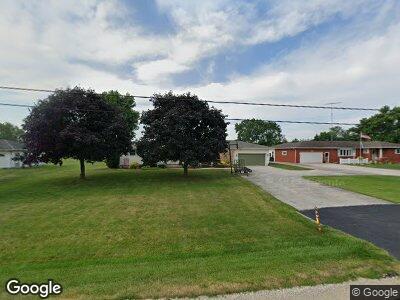
10868 W State Route 18 Fostoria, OH 44830
Estimated Value: $167,000 - $192,000
3
Beds
2
Baths
1,440
Sq Ft
$126/Sq Ft
Est. Value
About This Home
This home is located at 10868 W State Route 18, Fostoria, OH 44830 and is currently estimated at $180,788, approximately $125 per square foot. 10868 W State Route 18 is a home located in Seneca County with nearby schools including Hopewell-Loudon Local Elementary School.
Ownership History
Date
Name
Owned For
Owner Type
Purchase Details
Closed on
Jul 29, 2013
Sold by
King Stewart P and King Janet K
Bought by
King Stewart P and King Janet K
Current Estimated Value
Create a Home Valuation Report for This Property
The Home Valuation Report is an in-depth analysis detailing your home's value as well as a comparison with similar homes in the area
Home Values in the Area
Average Home Value in this Area
Purchase History
| Date | Buyer | Sale Price | Title Company |
|---|---|---|---|
| King Stewart P | -- | None Available |
Source: Public Records
Mortgage History
| Date | Status | Borrower | Loan Amount |
|---|---|---|---|
| Closed | King Stewart P | $84,000 |
Source: Public Records
Tax History Compared to Growth
Tax History
| Year | Tax Paid | Tax Assessment Tax Assessment Total Assessment is a certain percentage of the fair market value that is determined by local assessors to be the total taxable value of land and additions on the property. | Land | Improvement |
|---|---|---|---|---|
| 2024 | $1,626 | $52,630 | $15,480 | $37,150 |
| 2023 | $1,626 | $52,630 | $15,480 | $37,150 |
| 2022 | $1,500 | $45,630 | $14,840 | $30,790 |
| 2021 | $1,508 | $45,630 | $14,840 | $30,790 |
| 2020 | $1,513 | $45,627 | $14,837 | $30,790 |
| 2019 | $1,263 | $38,955 | $12,901 | $26,054 |
| 2018 | $1,281 | $38,955 | $12,901 | $26,054 |
| 2017 | $1,272 | $38,955 | $12,901 | $26,054 |
| 2016 | $1,259 | $40,663 | $12,901 | $27,762 |
| 2015 | $1,243 | $40,663 | $12,901 | $27,762 |
| 2014 | $1,177 | $40,663 | $12,901 | $27,762 |
| 2013 | $1,281 | $40,663 | $12,901 | $27,762 |
Source: Public Records
Map
Nearby Homes
- 10545 Millin Dr
- 37 Barcelona Dr
- 129 Fall St
- 919 S Main St
- 412 E Center St
- 249 W Lytle St
- 0 W South Route 12
- 501 Sandusky St
- 212 Potter St
- 217 Potter St
- 337 S Union St
- 201 W Center St
- 220 S Union St
- 1028 Sandusky St
- 351 W South St
- 728 Oaklawn Ave
- 124 N Countyline St
- 337 N Union St
- 430 W Center St
- 234 W High St