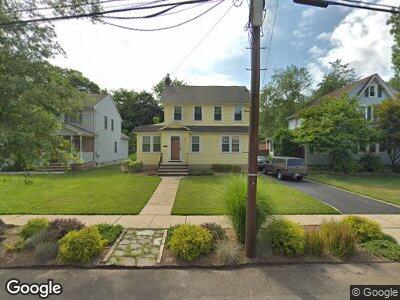
1140 Dorsey Place Unit 42 Plainfield, NJ 07062
Estimated Value: $460,125 - $553,000
--
Bed
--
Bath
1,498
Sq Ft
$343/Sq Ft
Est. Value
About This Home
This home is located at 1140 Dorsey Place Unit 42, Plainfield, NJ 07062 and is currently estimated at $514,031, approximately $343 per square foot. 1140 Dorsey Place Unit 42 is a home located in Union County with nearby schools including Emerson Community School, Frederic W. Cook School, and Maxson Middle School.
Ownership History
Date
Name
Owned For
Owner Type
Purchase Details
Closed on
Aug 8, 2011
Sold by
Scott Elizabeth
Bought by
Brander Mark
Current Estimated Value
Purchase Details
Closed on
Sep 11, 2006
Sold by
Ford Catherine
Bought by
Scott Elizabeth
Purchase Details
Closed on
Aug 27, 1996
Sold by
Ciampa Elizabeth
Bought by
Ford Catherine
Home Financials for this Owner
Home Financials are based on the most recent Mortgage that was taken out on this home.
Original Mortgage
$99,200
Interest Rate
8.18%
Mortgage Type
Balloon
Create a Home Valuation Report for This Property
The Home Valuation Report is an in-depth analysis detailing your home's value as well as a comparison with similar homes in the area
Home Values in the Area
Average Home Value in this Area
Purchase History
| Date | Buyer | Sale Price | Title Company |
|---|---|---|---|
| Brander Mark | $212,500 | None Available | |
| Scott Elizabeth | $344,900 | -- | |
| Ford Catherine | $124,000 | -- |
Source: Public Records
Mortgage History
| Date | Status | Borrower | Loan Amount |
|---|---|---|---|
| Previous Owner | Scott Elizabeth | $142,000 | |
| Previous Owner | Scott Elizabeth | $115,000 | |
| Previous Owner | Ford Catherine | $119,000 | |
| Previous Owner | Ford Catherine | $99,200 |
Source: Public Records
Tax History Compared to Growth
Tax History
| Year | Tax Paid | Tax Assessment Tax Assessment Total Assessment is a certain percentage of the fair market value that is determined by local assessors to be the total taxable value of land and additions on the property. | Land | Improvement |
|---|---|---|---|---|
| 2024 | $9,087 | $105,100 | $44,600 | $60,500 |
| 2023 | $9,087 | $105,100 | $44,600 | $60,500 |
| 2022 | $8,890 | $105,100 | $44,600 | $60,500 |
| 2021 | $8,813 | $105,100 | $44,600 | $60,500 |
| 2020 | $8,787 | $105,100 | $44,600 | $60,500 |
| 2019 | $8,787 | $105,100 | $44,600 | $60,500 |
| 2018 | $8,603 | $105,100 | $44,600 | $60,500 |
| 2017 | $8,393 | $105,100 | $44,600 | $60,500 |
| 2016 | $8,222 | $105,100 | $44,600 | $60,500 |
| 2015 | $7,979 | $105,100 | $44,600 | $60,500 |
| 2014 | $7,763 | $105,100 | $44,600 | $60,500 |
Source: Public Records
Map
Nearby Homes
- 1148 Dorsey Place Unit 50
- 1135 Dorsey Place
- 1123 Dorsey Place
- 1267 Cambridge Ave Unit 69
- 1270 Oxford Ave Unit 72
- 729 Leland Ave
- 1828-32 Rangewood Ct
- 926 Sterling St
- 1224 Sunnyfield Ln
- 1117 Gresham Rd
- 1246 Radcliffe Place Unit 50
- 1009 Mayfair Way
- 526 Belvidere Ave Unit 30
- 609 Sterling St Unit 11
- 1500 Charlotte Rd Unit 6
- 979 Oakland Ave
- 718 Russell Place Unit 20
- 11 Pheasant Ln
- 1241 North Ave Unit 43
- 736 E 7th St Unit 38