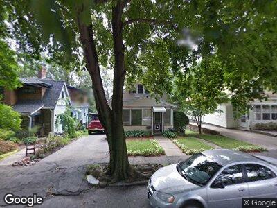
12 Carl Rd Arlington, MA 02474
Arlington Heights NeighborhoodEstimated Value: $650,000 - $785,000
3
Beds
2
Baths
1,245
Sq Ft
$592/Sq Ft
Est. Value
About This Home
This home is located at 12 Carl Rd, Arlington, MA 02474 and is currently estimated at $737,144, approximately $592 per square foot. 12 Carl Rd is a home located in Middlesex County with nearby schools including M. Norcross Stratton Elementary School, Ottoson Middle School, and Arlington High School.
Ownership History
Date
Name
Owned For
Owner Type
Purchase Details
Closed on
May 3, 2021
Sold by
Burger Ft 2 and Burger
Bought by
Burger Sidney
Current Estimated Value
Purchase Details
Closed on
Mar 14, 2013
Sold by
Burger Ft and Burger
Bought by
Burger Ft and Burger
Purchase Details
Closed on
Jun 11, 2007
Sold by
Burger Mildred S
Bought by
Burger Ft and Burger
Create a Home Valuation Report for This Property
The Home Valuation Report is an in-depth analysis detailing your home's value as well as a comparison with similar homes in the area
Home Values in the Area
Average Home Value in this Area
Purchase History
| Date | Buyer | Sale Price | Title Company |
|---|---|---|---|
| Burger Sidney | -- | None Available | |
| Burger Sidney | -- | None Available | |
| Burger Ft | -- | -- | |
| Burger Ft | -- | -- | |
| Burger Ft | -- | -- | |
| Burger Ft | -- | -- |
Source: Public Records
Tax History Compared to Growth
Tax History
| Year | Tax Paid | Tax Assessment Tax Assessment Total Assessment is a certain percentage of the fair market value that is determined by local assessors to be the total taxable value of land and additions on the property. | Land | Improvement |
|---|---|---|---|---|
| 2025 | $7,849 | $728,800 | $447,700 | $281,100 |
| 2024 | $7,401 | $698,900 | $442,300 | $256,600 |
| 2023 | $7,228 | $644,800 | $398,600 | $246,200 |
| 2022 | $6,906 | $604,700 | $382,200 | $222,500 |
| 2021 | $6,782 | $598,100 | $382,200 | $215,900 |
| 2020 | $6,616 | $598,200 | $382,200 | $216,000 |
| 2019 | $6,551 | $581,800 | $387,700 | $194,100 |
| 2018 | $5,865 | $483,500 | $289,400 | $194,100 |
| 2017 | $5,730 | $456,200 | $262,100 | $194,100 |
| 2016 | $5,700 | $445,300 | $251,200 | $194,100 |
| 2015 | $5,364 | $395,900 | $212,900 | $183,000 |
Source: Public Records
Map
Nearby Homes
- 57 Edmund Rd
- 239 Mountain Ave
- 51 Greeley Cir
- 173 Overlook Rd
- 32 Brand St
- 10 Huntington Rd
- 97 Sunset Rd
- 24 Epping St
- 323 Ridge St
- 19 Cherokee Rd
- 595 Summer St
- 27 Hancock St
- 42 Forest St Unit 42
- 40-42 Forest St Unit 40
- 23 Lantern Ln
- 1205 Massachusetts Ave
- 5 Longmeadow Rd
- 1 Watermill Place Unit 527
- 1 Watermill Place Unit 320
- 1 Watermill Place Unit 304