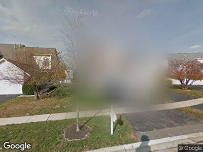
1216 Le Moyne Ave Romeoville, IL 60446
Marquette's Landing NeighborhoodEstimated Value: $239,776 - $339,000
--
Bed
1
Bath
1,617
Sq Ft
$190/Sq Ft
Est. Value
About This Home
This home is located at 1216 Le Moyne Ave, Romeoville, IL 60446 and is currently estimated at $307,194, approximately $189 per square foot. 1216 Le Moyne Ave is a home located in Will County with nearby schools including Elizabeth Eichelberger Elementary School, John F Kennedy Middle School, and Plainfield East High School.
Ownership History
Date
Name
Owned For
Owner Type
Purchase Details
Closed on
Jul 26, 1999
Sold by
Marquettes Landing Llc
Bought by
Stafford Daniel L and Stafford Kimberly A
Current Estimated Value
Home Financials for this Owner
Home Financials are based on the most recent Mortgage that was taken out on this home.
Original Mortgage
$138,548
Interest Rate
7.69%
Mortgage Type
FHA
Create a Home Valuation Report for This Property
The Home Valuation Report is an in-depth analysis detailing your home's value as well as a comparison with similar homes in the area
Home Values in the Area
Average Home Value in this Area
Purchase History
| Date | Buyer | Sale Price | Title Company |
|---|---|---|---|
| Stafford Daniel L | $139,500 | -- |
Source: Public Records
Mortgage History
| Date | Status | Borrower | Loan Amount |
|---|---|---|---|
| Open | Stafford Daniel L | $163,000 | |
| Closed | Stafford Daniel L | $100,000 | |
| Closed | Stafford Daniel L | $32,200 | |
| Closed | Stafford Daniel L | $258,127 | |
| Closed | Stafford Daniel L | $70,000 | |
| Closed | Stafford Daniel L | $140,000 | |
| Closed | Stafford Daniel L | $37,000 | |
| Closed | Stafford Daniel L | $34,400 | |
| Closed | Stafford Daniel L | $138,332 | |
| Closed | Stafford Daniel L | $138,548 |
Source: Public Records
Tax History Compared to Growth
Tax History
| Year | Tax Paid | Tax Assessment Tax Assessment Total Assessment is a certain percentage of the fair market value that is determined by local assessors to be the total taxable value of land and additions on the property. | Land | Improvement |
|---|---|---|---|---|
| 2023 | $5,239 | $78,593 | $10,141 | $68,452 |
| 2022 | $4,951 | $70,856 | $9,143 | $61,713 |
| 2021 | $4,664 | $66,252 | $8,549 | $57,703 |
| 2020 | $4,575 | $64,074 | $8,268 | $55,806 |
| 2019 | $4,412 | $61,023 | $7,874 | $53,149 |
| 2018 | $4,301 | $58,406 | $7,536 | $50,870 |
| 2017 | $4,153 | $55,361 | $7,143 | $48,218 |
| 2016 | $4,042 | $52,700 | $6,800 | $45,900 |
| 2015 | $3,805 | $50,500 | $6,500 | $44,000 |
| 2014 | $3,805 | $47,600 | $6,100 | $41,500 |
| 2013 | $3,805 | $47,600 | $6,100 | $41,500 |
Source: Public Records
Map
Nearby Homes
- 520 N Maggie Ln
- 1215 Grand Blvd
- 13360 S Bayberry Ln
- 20960 W Blossom Ln
- 13436 Tall Pines Ln
- 1080 Redondo Dr
- 1037 Redondo Dr
- 21112 W Cypress Ct
- 678 Bancroft Ct Unit 18L
- 20833 W Peppertree Ct
- 1292 W Normantown Rd
- 21202 Silktree Cir
- 1290 W Normantown Rd
- 13722 S Cottonwood Ln
- w Birch Ln
- 21019 W Redberry Ct
- 13811 S Mandarin Ct
- 646 Aspen Dr
- 13231 S Carlisle Ln
- 21003 W Braxton Ln