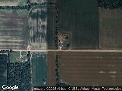
12200 Farrand Rd Montrose, MI 48457
Montrose Township NeighborhoodEstimated Value: $169,000 - $384,000
4
Beds
2
Baths
1,519
Sq Ft
$159/Sq Ft
Est. Value
About This Home
This home is located at 12200 Farrand Rd, Montrose, MI 48457 and is currently estimated at $241,252, approximately $158 per square foot. 12200 Farrand Rd is a home located in Genesee County with nearby schools including Carter Elementary School, Kuehn-Haven Middle School, and Hill-McCloy High School.
Ownership History
Date
Name
Owned For
Owner Type
Purchase Details
Closed on
Jun 9, 2010
Sold by
J P Morgan Mortgage Acquisition Corp
Bought by
Schantz Francis
Current Estimated Value
Purchase Details
Closed on
May 27, 2009
Sold by
Lawrence Jack and Lawrence Betty
Bought by
Jpmorgan Mortgage Acquisition Corp
Purchase Details
Closed on
Aug 14, 2000
Sold by
Irish Family Farms
Bought by
Lawrence Jack and Lawrence Betty
Create a Home Valuation Report for This Property
The Home Valuation Report is an in-depth analysis detailing your home's value as well as a comparison with similar homes in the area
Home Values in the Area
Average Home Value in this Area
Purchase History
| Date | Buyer | Sale Price | Title Company |
|---|---|---|---|
| Jpmorgan Mortgage Acquisition Corp | $149,872 | None Available | |
| Lawrence Jack | $49,500 | Bankers Title Corp |
Source: Public Records
Mortgage History
| Date | Status | Borrower | Loan Amount |
|---|---|---|---|
| Previous Owner | Lawrence Jack | $135,000 |
Source: Public Records
Tax History Compared to Growth
Tax History
| Year | Tax Paid | Tax Assessment Tax Assessment Total Assessment is a certain percentage of the fair market value that is determined by local assessors to be the total taxable value of land and additions on the property. | Land | Improvement |
|---|---|---|---|---|
| 2024 | $626 | $93,700 | $0 | $0 |
| 2023 | $597 | $88,800 | $0 | $0 |
| 2022 | $2,042 | $71,000 | $0 | $0 |
| 2021 | $2,026 | $68,200 | $0 | $0 |
| 2020 | $547 | $60,200 | $0 | $0 |
| 2019 | $538 | $58,500 | $0 | $0 |
| 2018 | $1,705 | $53,100 | $0 | $0 |
| 2017 | $1,584 | $53,100 | $0 | $0 |
| 2016 | $1,572 | $48,600 | $0 | $0 |
| 2015 | $1,401 | $45,400 | $0 | $0 |
| 2014 | $449 | $43,800 | $0 | $0 |
| 2012 | -- | $37,500 | $37,500 | $0 |
Source: Public Records
Map
Nearby Homes
- 0 Duffield Rd Unit 50171826
- 11406 Vienna Rd
- 12413 Nichols Rd
- 14108 Sheridan Rd
- 11038 Farrand Rd
- 283 W State St
- 235 Baldwin St
- 182 W Maple St
- 162 North St
- 1700 Peet Rd
- 10292 Nichols Rd
- 11159 Sheridan Rd
- 247 Leroy St
- 185 E State St
- 179 Washington
- 139 Lincoln St
- 269 Oak St
- 13164 Seymour Rd
- 13594 Mckinley Rd
- 10308 Wilson Rd
