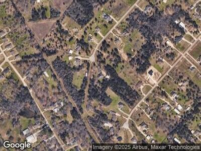
12704 Water Buck Ct Conroe, TX 77303
Cut and Shoot NeighborhoodEstimated Value: $531,000 - $689,000
4
Beds
3
Baths
2,662
Sq Ft
$218/Sq Ft
Est. Value
About This Home
This home is located at 12704 Water Buck Ct, Conroe, TX 77303 and is currently estimated at $579,418, approximately $217 per square foot. 12704 Water Buck Ct is a home located in Montgomery County with nearby schools including Patterson Elementary School, Bozman Intermediate School, and Donald J. Stockton Junior High School.
Ownership History
Date
Name
Owned For
Owner Type
Purchase Details
Closed on
Oct 29, 2010
Sold by
Elara Homes Inc
Bought by
Davis David A and Davis Cindy A
Current Estimated Value
Home Financials for this Owner
Home Financials are based on the most recent Mortgage that was taken out on this home.
Original Mortgage
$248,526
Outstanding Balance
$162,147
Interest Rate
3.37%
Mortgage Type
New Conventional
Estimated Equity
$401,845
Purchase Details
Closed on
Aug 5, 2010
Sold by
Corley Duane T
Bought by
Elara Homes Inc
Home Financials for this Owner
Home Financials are based on the most recent Mortgage that was taken out on this home.
Original Mortgage
$237,500
Interest Rate
4.54%
Mortgage Type
Construction
Create a Home Valuation Report for This Property
The Home Valuation Report is an in-depth analysis detailing your home's value as well as a comparison with similar homes in the area
Home Values in the Area
Average Home Value in this Area
Purchase History
| Date | Buyer | Sale Price | Title Company |
|---|---|---|---|
| Davis David A | -- | Old Republic Title | |
| Elara Homes Inc | -- | Old Republic Title | |
| Davis David A | -- | -- |
Source: Public Records
Mortgage History
| Date | Status | Borrower | Loan Amount |
|---|---|---|---|
| Open | Davis David A | $248,526 | |
| Previous Owner | Davis David A | $237,500 |
Source: Public Records
Tax History Compared to Growth
Tax History
| Year | Tax Paid | Tax Assessment Tax Assessment Total Assessment is a certain percentage of the fair market value that is determined by local assessors to be the total taxable value of land and additions on the property. | Land | Improvement |
|---|---|---|---|---|
| 2024 | $5,599 | $515,592 | -- | -- |
| 2023 | $5,599 | $468,720 | $130,060 | $408,230 |
| 2022 | $7,423 | $426,110 | $130,100 | $390,920 |
| 2021 | $7,162 | $387,370 | $111,200 | $276,170 |
| 2020 | $7,722 | $397,170 | $48,660 | $348,510 |
| 2019 | $7,355 | $365,120 | $48,660 | $316,460 |
| 2018 | $6,534 | $359,320 | $48,660 | $310,660 |
| 2017 | $7,285 | $360,450 | $48,660 | $311,790 |
| 2016 | $7,031 | $347,910 | $48,660 | $299,250 |
| 2015 | $6,695 | $365,000 | $48,660 | $316,340 |
| 2014 | $6,695 | $338,570 | $48,660 | $289,910 |
Source: Public Records
Map
Nearby Homes
- 6248 Rolling Hills Rd
- 6263 Rolling Hills Rd
- 6271 Rolling Hills Rd
- 9159 Silver Back Trail
- 12259 N Chestnut Hills Dr
- 12336 N Chestnut Hills Dr
- 12329 N Chestnut Hills Dr
- 6186 White Oak Leaf Loop
- 13400 Nicholson Rd
- 6174 White Oak Leaf Loop
- 9146 Red Stag Ln
- 6319 Fawn Path Dr
- 12854 Lime Stone Ln
- 9309 Boulder Blvd
- 9228 Boulder Blvd
- 9240 Boulder Blvd
- 9213 Boulder Blvd
- 13016 Stone Valley Way
- 13016 Stone Valley Way
- 13016 Stone Valley Way
