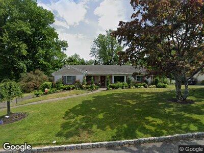
1287 Poplar Ave Mountainside, NJ 07092
Mountainside NeighborhoodEstimated Value: $782,168 - $1,006,000
3
Beds
2
Baths
1,515
Sq Ft
$559/Sq Ft
Est. Value
About This Home
This home is located at 1287 Poplar Ave, Mountainside, NJ 07092 and is currently estimated at $847,292, approximately $559 per square foot. 1287 Poplar Ave is a home located in Union County with nearby schools including Beechwood School and Deerfield Elementary School.
Ownership History
Date
Name
Owned For
Owner Type
Purchase Details
Closed on
Jul 24, 2020
Sold by
Smith Carol
Bought by
Fiorenza Michelle
Current Estimated Value
Home Financials for this Owner
Home Financials are based on the most recent Mortgage that was taken out on this home.
Original Mortgage
$424,000
Interest Rate
2.9%
Mortgage Type
New Conventional
Purchase Details
Closed on
Apr 22, 2005
Sold by
Mallozzi Joseph A
Bought by
Smith Carol P
Home Financials for this Owner
Home Financials are based on the most recent Mortgage that was taken out on this home.
Original Mortgage
$275,000
Interest Rate
5.95%
Mortgage Type
New Conventional
Create a Home Valuation Report for This Property
The Home Valuation Report is an in-depth analysis detailing your home's value as well as a comparison with similar homes in the area
Home Values in the Area
Average Home Value in this Area
Purchase History
| Date | Buyer | Sale Price | Title Company |
|---|---|---|---|
| Fiorenza Michelle | $530,000 | Simplicity Title Llc | |
| Smith Carol P | $525,000 | -- |
Source: Public Records
Mortgage History
| Date | Status | Borrower | Loan Amount |
|---|---|---|---|
| Previous Owner | Fiorenza Michelle | $424,000 | |
| Previous Owner | Smith Carol P | $370,000 | |
| Previous Owner | Smith Carol | $266,500 | |
| Previous Owner | Smith Carol | $91,000 | |
| Previous Owner | Smith Carol | $150,000 | |
| Previous Owner | Smith Carol P | $275,000 |
Source: Public Records
Tax History Compared to Growth
Tax History
| Year | Tax Paid | Tax Assessment Tax Assessment Total Assessment is a certain percentage of the fair market value that is determined by local assessors to be the total taxable value of land and additions on the property. | Land | Improvement |
|---|---|---|---|---|
| 2024 | $10,284 | $518,200 | $261,200 | $257,000 |
| 2023 | $10,284 | $517,300 | $261,200 | $256,100 |
| 2022 | $10,057 | $503,600 | $261,200 | $242,400 |
| 2021 | $9,891 | $503,600 | $261,200 | $242,400 |
| 2020 | $10,778 | $144,200 | $51,900 | $92,300 |
| 2019 | $10,834 | $144,200 | $51,900 | $92,300 |
| 2018 | $10,855 | $144,200 | $51,900 | $92,300 |
| 2017 | $10,776 | $144,200 | $51,900 | $92,300 |
| 2016 | $10,531 | $144,200 | $51,900 | $92,300 |
Source: Public Records
Map
Nearby Homes
- 1283 Poplar Ave
- 8 Park West Dr Unit 402
- 44 Park West Dr Unit 502
- 46 Park West Dr Unit 501
- 1238 Beech Ave
- 298 Old Tote Rd
- 1460 Dunn Pkwy
- 1463 Dunn Pkwy
- 821 Grant Ave
- 825 Grant Ave
- 1400 Orchard Rd
- 657 Hillside Ave
- 826 Wallberg Ave
- 752 Belvidere Ave
- 521 Topping Hill Rd
- 240 Summit Rd
- 861 Bradford Ave
- 512 Sherwood Pkwy
- 460 Hillside Ave
- 18 Bennett Place