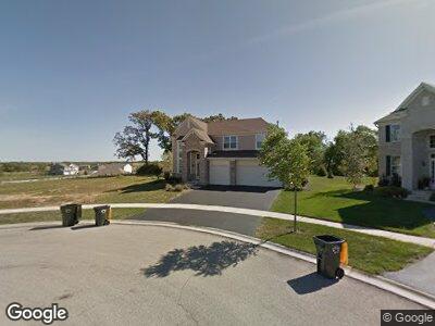
1288 Waterfront Ln Pingree Grove, IL 60140
Estimated Value: $501,926 - $545,000
--
Bed
1
Bath
3,475
Sq Ft
$151/Sq Ft
Est. Value
About This Home
This home is located at 1288 Waterfront Ln, Pingree Grove, IL 60140 and is currently estimated at $525,732, approximately $151 per square foot. 1288 Waterfront Ln is a home located in Kane County with nearby schools including Gary D. Wright Elementary School, Hampshire Middle School, and Hampshire High School.
Ownership History
Date
Name
Owned For
Owner Type
Purchase Details
Closed on
Jun 23, 2008
Sold by
Drh Cambridge Homes Inc
Bought by
Hagg Adam J and Hagg Brianne
Current Estimated Value
Home Financials for this Owner
Home Financials are based on the most recent Mortgage that was taken out on this home.
Original Mortgage
$397,575
Interest Rate
6.1%
Mortgage Type
Purchase Money Mortgage
Create a Home Valuation Report for This Property
The Home Valuation Report is an in-depth analysis detailing your home's value as well as a comparison with similar homes in the area
Home Values in the Area
Average Home Value in this Area
Purchase History
| Date | Buyer | Sale Price | Title Company |
|---|---|---|---|
| Hagg Adam J | $442,000 | First American Title |
Source: Public Records
Mortgage History
| Date | Status | Borrower | Loan Amount |
|---|---|---|---|
| Open | Hagg Adam J | $241,000 | |
| Closed | Hagg Adam J | $327,750 | |
| Closed | Hagg Adam J | $384,876 | |
| Closed | Hagg Adam J | $397,575 |
Source: Public Records
Tax History Compared to Growth
Tax History
| Year | Tax Paid | Tax Assessment Tax Assessment Total Assessment is a certain percentage of the fair market value that is determined by local assessors to be the total taxable value of land and additions on the property. | Land | Improvement |
|---|---|---|---|---|
| 2023 | $11,227 | $140,033 | $27,832 | $112,201 |
| 2022 | $10,815 | $129,110 | $25,661 | $103,449 |
| 2021 | $10,545 | $121,436 | $24,136 | $97,300 |
| 2020 | $12,102 | $141,486 | $23,520 | $117,966 |
| 2019 | $11,850 | $135,796 | $22,574 | $113,222 |
| 2018 | $11,538 | $127,448 | $21,186 | $106,262 |
| 2017 | $11,322 | $121,367 | $20,175 | $101,192 |
| 2016 | $11,297 | $115,544 | $19,207 | $96,337 |
| 2015 | -- | $109,127 | $18,140 | $90,987 |
| 2014 | -- | $108,451 | $20,566 | $87,885 |
| 2013 | -- | $110,439 | $20,943 | $89,496 |
Source: Public Records
Map
Nearby Homes
- 1025 Leeward Ln
- 1015 Leeward Ln
- 1030 Leeward Ln
- 1020 Leeward Ln
- 1000 Leeward Ln
- 947 Catamaran Cir
- 945 Shelter Island Ln Unit 6
- 1561 Francis Dr
- 687 Glen Cove Ln
- 1190 Larkspur Ct
- 1758 Kelley Ln
- 1610 Hannah Ln Unit 1610
- 886 Galway Ln
- 1266 Derry Ln
- 1008 White Pine Trail
- 232 Maryland Ln
- 267 Maryland Ln
- 1638 Southern Cir
- 347 Norfolk Ln
- 1728 Southern Cir