129 Craig Dr Ariel, WA 98603
Yale NeighborhoodEstimated Value: $3,337,000 - $4,059,000
6
Beds
6
Baths
5,584
Sq Ft
$675/Sq Ft
Est. Value
About This Home
This home is located at 129 Craig Dr, Ariel, WA 98603 and is currently estimated at $3,769,632, approximately $675 per square foot. 129 Craig Dr is a home located in Cowlitz County with nearby schools including Woodland High School.
Ownership History
Date
Name
Owned For
Owner Type
Purchase Details
Closed on
Aug 2, 2023
Sold by
Jpmorgan Chase Bank National Association
Bought by
129 Craig Dr Llc
Current Estimated Value
Home Financials for this Owner
Home Financials are based on the most recent Mortgage that was taken out on this home.
Original Mortgage
$500,000
Outstanding Balance
$491,633
Interest Rate
6.9%
Mortgage Type
New Conventional
Estimated Equity
$3,277,999
Purchase Details
Closed on
Apr 28, 2023
Sold by
Cowlitz County
Bought by
Jpmorgan Chase Bank National Association
Purchase Details
Closed on
May 4, 2022
Sold by
Pollock Roger M
Bought by
Jpmorgan Chase Bank National Association
Purchase Details
Closed on
May 20, 2014
Sold by
Pollock Roger M
Bought by
Reeves Jerry C
Create a Home Valuation Report for This Property
The Home Valuation Report is an in-depth analysis detailing your home's value as well as a comparison with similar homes in the area
Home Values in the Area
Average Home Value in this Area
Purchase History
| Date | Buyer | Sale Price | Title Company |
|---|---|---|---|
| 129 Craig Dr Llc | $900,000 | Servicelink Title | |
| Jpmorgan Chase Bank National Association | $1,050,000 | None Listed On Document | |
| Jpmorgan Chase Bank National Association | -- | -- | |
| Reeves Jerry C | $104,926 | None Available |
Source: Public Records
Mortgage History
| Date | Status | Borrower | Loan Amount |
|---|---|---|---|
| Open | 129 Craig Dr Llc | $500,000 | |
| Previous Owner | Pollock Roger M | $4,000,000 |
Source: Public Records
Tax History Compared to Growth
Tax History
| Year | Tax Paid | Tax Assessment Tax Assessment Total Assessment is a certain percentage of the fair market value that is determined by local assessors to be the total taxable value of land and additions on the property. | Land | Improvement |
|---|---|---|---|---|
| 2024 | $13,979 | $1,209,300 | $675,240 | $534,060 |
| 2023 | $8,746 | $1,166,730 | $675,240 | $491,490 |
| 2022 | $12,128 | $1,106,330 | $577,130 | $529,200 |
| 2021 | $12,459 | $1,090,590 | $549,650 | $540,940 |
| 2020 | $11,199 | $1,076,990 | $549,650 | $527,340 |
| 2019 | $9,880 | $940,273 | $549,654 | $390,619 |
| 2018 | $11,636 | $886,390 | $549,650 | $336,740 |
| 2017 | $10,025 | $846,720 | $523,480 | $323,240 |
| 2016 | $9,596 | $798,610 | $484,700 | $313,910 |
| 2015 | $14,181 | $767,580 | $475,200 | $292,380 |
| 2013 | -- | $947,780 | $432,000 | $515,780 |
Source: Public Records
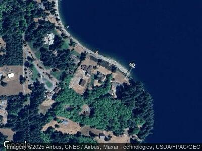
Map
Nearby Homes
- 138 Marian Ln
- 14644 Lewis River Rd
- 615 Yale Bridge Rd
- 168 Yale Landing Rd
- 242 Ham Rd
- 131 Longhorn Rd
- 173 Mystery Dr
- 0 Usfs 81 Rd Unit NWM2191806
- 0 Usfs 81 Rd Unit 23359978
- 11 Turtle Dove Ln
- 24706 NE Columbia Tie Rd Unit 9/54
- 24706 NE Columbia Tie Rd Unit 41/21
- 24706 NE Columbia Tie Rd
- 24706 NE Columbia Tie Rd Unit 60
- 24706 NE Columbia Tie Rd Unit 2/5
- 71 Usfs 8100
- 0 Wilderness Dr Unit NWM2293547
- 0 Wilderness Dr Unit 24017535
- 27205 NE 419th St
- 27209 NE 419th St