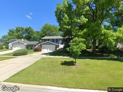
1420 Hassell Rd Hoffman Estates, IL 60169
High Point Park NeighborhoodEstimated Value: $380,783 - $508,000
4
Beds
2
Baths
1,800
Sq Ft
$233/Sq Ft
Est. Value
About This Home
This home is located at 1420 Hassell Rd, Hoffman Estates, IL 60169 and is currently estimated at $420,196, approximately $233 per square foot. 1420 Hassell Rd is a home located in Cook County with nearby schools including MacArthur International Spanish Academy, Dwight D Eisenhower Junior High School, and Hoffman Estates High School.
Ownership History
Date
Name
Owned For
Owner Type
Purchase Details
Closed on
Jul 5, 2024
Sold by
Dickenscheidt Shirley
Bought by
Shirley A Dickenscheidt Trust and Dickenscheidt
Current Estimated Value
Purchase Details
Closed on
Apr 4, 2002
Sold by
Dickenscheidt Clark K and Dickenscheidt Shirley A
Bought by
Dickenscheidt Clark K and Dickenscheidt Shirley A
Create a Home Valuation Report for This Property
The Home Valuation Report is an in-depth analysis detailing your home's value as well as a comparison with similar homes in the area
Home Values in the Area
Average Home Value in this Area
Purchase History
| Date | Buyer | Sale Price | Title Company |
|---|---|---|---|
| Shirley A Dickenscheidt Trust | -- | Fidelity National Title | |
| Dickenscheidt Clark K | -- | -- |
Source: Public Records
Mortgage History
| Date | Status | Borrower | Loan Amount |
|---|---|---|---|
| Previous Owner | Dickenscheidt Clark K | $517,500 | |
| Previous Owner | Dickenscheidt Clark A | $68,000 |
Source: Public Records
Tax History Compared to Growth
Tax History
| Year | Tax Paid | Tax Assessment Tax Assessment Total Assessment is a certain percentage of the fair market value that is determined by local assessors to be the total taxable value of land and additions on the property. | Land | Improvement |
|---|---|---|---|---|
| 2024 | $3,828 | $32,001 | $6,611 | $25,390 |
| 2023 | $3,828 | $32,001 | $6,611 | $25,390 |
| 2022 | $3,828 | $32,001 | $6,611 | $25,390 |
| 2021 | $4,205 | $24,277 | $4,407 | $19,870 |
| 2020 | $3,825 | $24,277 | $4,407 | $19,870 |
| 2019 | $3,783 | $26,975 | $4,407 | $22,568 |
| 2018 | $3,997 | $19,129 | $3,745 | $15,384 |
| 2017 | $3,964 | $19,129 | $3,745 | $15,384 |
| 2016 | $5,575 | $22,994 | $3,745 | $19,249 |
| 2015 | $4,752 | $19,291 | $3,305 | $15,986 |
| 2014 | $4,697 | $19,291 | $3,305 | $15,986 |
| 2013 | $4,545 | $19,291 | $3,305 | $15,986 |
Source: Public Records
Map
Nearby Homes
- 1985 Oakdale Rd
- 2075 Greenfield Rd
- 1165 Mayfield Ln
- 1975 Kenilworth Cir Unit B
- 1880 Huntington Blvd Unit B
- 1800 Huntington Blvd Unit AE101
- 1800 Huntington Blvd Unit 306
- 1840 Huntington Blvd Unit 601
- 1726 Fayette Walk Unit M
- 1770 Bristol Walk Unit C
- 1779 Sessions Walk Unit 1779
- 1945 Hancock Dr
- 1799 Bristol Walk Unit 1799H
- 1541 Coventry Rd
- 1430 Meyer Rd
- 836 Knightsbridge Ln
- 1500 Robin Cir Unit 101
- 1500 Robin Cir Unit 218
- 1687 Queensbury Cir Unit 5884
- 1880 Bonnie Ln Unit 104