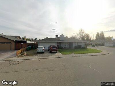
1426 Vin Rose Dr Lodi, CA 95242
Central Lodi NeighborhoodEstimated Value: $596,000 - $724,000
6
Beds
4
Baths
2,394
Sq Ft
$280/Sq Ft
Est. Value
About This Home
This home is located at 1426 Vin Rose Dr, Lodi, CA 95242 and is currently estimated at $669,767, approximately $279 per square foot. 1426 Vin Rose Dr is a home located in San Joaquin County with nearby schools including Ellerth E. Larson Elementary School, Lodi Middle School, and Tokay High School.
Ownership History
Date
Name
Owned For
Owner Type
Purchase Details
Closed on
Sep 11, 2001
Sold by
Anderson Frederick and Anderson Olga
Bought by
Anderson Frederick C and Anderson Olga J
Current Estimated Value
Purchase Details
Closed on
Jul 21, 1994
Sold by
Craig Lauren S
Bought by
Anderson Frederick and Anderson Olga
Home Financials for this Owner
Home Financials are based on the most recent Mortgage that was taken out on this home.
Original Mortgage
$150,000
Interest Rate
5.5%
Create a Home Valuation Report for This Property
The Home Valuation Report is an in-depth analysis detailing your home's value as well as a comparison with similar homes in the area
Home Values in the Area
Average Home Value in this Area
Purchase History
| Date | Buyer | Sale Price | Title Company |
|---|---|---|---|
| Anderson Frederick C | -- | -- | |
| Anderson Frederick | $195,000 | Fidelity National Title Ins |
Source: Public Records
Mortgage History
| Date | Status | Borrower | Loan Amount |
|---|---|---|---|
| Open | Anderson Frederick | $129,500 | |
| Closed | Anderson Frederick | $150,000 |
Source: Public Records
Tax History Compared to Growth
Tax History
| Year | Tax Paid | Tax Assessment Tax Assessment Total Assessment is a certain percentage of the fair market value that is determined by local assessors to be the total taxable value of land and additions on the property. | Land | Improvement |
|---|---|---|---|---|
| 2024 | $3,467 | $321,081 | $90,559 | $230,522 |
| 2023 | $3,427 | $314,786 | $88,784 | $226,002 |
| 2022 | $3,351 | $308,615 | $87,044 | $221,571 |
| 2021 | $3,411 | $302,565 | $85,338 | $217,227 |
| 2020 | $3,323 | $299,463 | $84,463 | $215,000 |
| 2019 | $3,256 | $293,592 | $82,807 | $210,785 |
| 2018 | $3,211 | $287,836 | $81,184 | $206,652 |
| 2017 | $3,139 | $282,193 | $79,593 | $202,600 |
| 2016 | $2,943 | $276,660 | $78,032 | $198,628 |
| 2014 | $2,687 | $250,000 | $62,000 | $188,000 |
Source: Public Records
Map
Nearby Homes
- 1636 Timberlake Cir
- 1547 Timberlake Cir
- 1731 Lakeshore Dr
- 1311 W Century Blvd Unit 46
- 1720 Windjammer Ct
- 801 Brandywine Dr
- 1916 Lakeshore Dr
- 1133 S Orange Ave
- 1930 Crystalwood Ln
- 1150 Millsbridge Place
- 1213 Stonebridge Dr
- 1947 Lakeshore Dr
- 1131 Dartmoor Cir
- 1818 Amber Leaf Way
- 1451 Park St
- 1929 Winding Oak St
- 1833 Reisling Dr
- 807 Dorchester Cir
- 1723 Providence Way
- 820 Park St