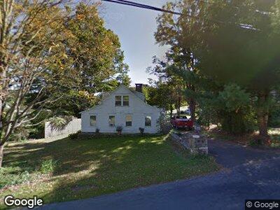
15 New Preston Hill Rd New Preston Marble Dale, CT 06777
Estimated Value: $364,000 - $539,000
2
Beds
2
Baths
1,410
Sq Ft
$337/Sq Ft
Est. Value
About This Home
This home is located at 15 New Preston Hill Rd, New Preston Marble Dale, CT 06777 and is currently estimated at $475,438, approximately $337 per square foot. 15 New Preston Hill Rd is a home located in Litchfield County with nearby schools including Shepaug Valley School, Washington Montessori School, and Rumsey Hall School.
Ownership History
Date
Name
Owned For
Owner Type
Purchase Details
Closed on
Mar 15, 1991
Sold by
Old Stone Bk
Bought by
Duncan Peter S
Current Estimated Value
Home Financials for this Owner
Home Financials are based on the most recent Mortgage that was taken out on this home.
Original Mortgage
$85,000
Interest Rate
9.46%
Mortgage Type
Purchase Money Mortgage
Purchase Details
Closed on
Sep 20, 1990
Sold by
Streeter James C
Bought by
Old Stone Bk
Create a Home Valuation Report for This Property
The Home Valuation Report is an in-depth analysis detailing your home's value as well as a comparison with similar homes in the area
Home Values in the Area
Average Home Value in this Area
Purchase History
| Date | Buyer | Sale Price | Title Company |
|---|---|---|---|
| Duncan Peter S | $115,000 | -- | |
| Old Stone Bk | $150,000 | -- |
Source: Public Records
Mortgage History
| Date | Status | Borrower | Loan Amount |
|---|---|---|---|
| Open | Duncan Peter S | $105,000 | |
| Closed | Old Stone Bk | $15,000 | |
| Closed | Old Stone Bk | $85,000 | |
| Closed | Old Stone Bk | $87,500 | |
| Closed | Old Stone Bk | $85,000 |
Source: Public Records
Tax History Compared to Growth
Tax History
| Year | Tax Paid | Tax Assessment Tax Assessment Total Assessment is a certain percentage of the fair market value that is determined by local assessors to be the total taxable value of land and additions on the property. | Land | Improvement |
|---|---|---|---|---|
| 2024 | $3,249 | $299,460 | $74,200 | $225,260 |
| 2023 | $2,867 | $201,220 | $74,870 | $126,350 |
| 2022 | $2,867 | $201,220 | $74,870 | $126,350 |
| 2021 | $2,867 | $201,220 | $74,870 | $126,350 |
| 2020 | $2,867 | $201,220 | $74,870 | $126,350 |
| 2019 | $2,867 | $201,220 | $74,870 | $126,350 |
| 2018 | $3,004 | $210,840 | $78,120 | $132,720 |
| 2017 | $3,004 | $210,840 | $78,120 | $132,720 |
| 2016 | $2,926 | $205,320 | $78,110 | $127,210 |
| 2015 | $2,823 | $205,320 | $78,110 | $127,210 |
| 2014 | $2,772 | $205,320 | $78,110 | $127,210 |
Source: Public Records
Map
Nearby Homes
- 256 Baldwin Hill Rd
- 237 Baldwin Hill Rd
- 60 Mygatt Rd
- 77 New Milford Turnpike
- 196 Baldwin Hill Rd
- 34 Quarry Ridge Rd Unit 34
- 96 Kinney Hill Rd
- 65 Gunn Hill Rd
- 119 W Shore Rd
- 387 Lake Rd
- 15 Tory Ln
- 164 Calhoun St
- 200 Bee Brook Rd
- 7 Hearthstone Terrace
- 2 Juniper Meadow Rd
- 392 Kent Hollow Rd
- 18 Mcnulty Dr
- 27 Wieting Rd
- 293 Lake Rd
- 51 Cherniske Rd