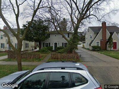
1507 Shadford Rd Ann Arbor, MI 48104
North Burns Park NeighborhoodEstimated Value: $684,000 - $803,000
3
Beds
2
Baths
1,560
Sq Ft
$468/Sq Ft
Est. Value
About This Home
This home is located at 1507 Shadford Rd, Ann Arbor, MI 48104 and is currently estimated at $729,311, approximately $467 per square foot. 1507 Shadford Rd is a home located in Washtenaw County with nearby schools including Burns Park Elementary School, Tappan Middle School, and Pioneer High School.
Ownership History
Date
Name
Owned For
Owner Type
Purchase Details
Closed on
Aug 28, 2020
Sold by
Slavin Ruth A and Brown Stephen C
Bought by
Slavin Ruth A and Brown Stephen C
Current Estimated Value
Purchase Details
Closed on
Jun 1, 2018
Sold by
Brown Stephen C and Slavin Ruth Anna
Bought by
Brown Stephen C and Slavin Ruth Anna
Purchase Details
Closed on
Oct 29, 1997
Sold by
Nissly Robert F
Bought by
Brown Stephen C and Slavin Ruth
Home Financials for this Owner
Home Financials are based on the most recent Mortgage that was taken out on this home.
Original Mortgage
$194,800
Outstanding Balance
$42,735
Interest Rate
7.51%
Mortgage Type
New Conventional
Estimated Equity
$708,445
Create a Home Valuation Report for This Property
The Home Valuation Report is an in-depth analysis detailing your home's value as well as a comparison with similar homes in the area
Home Values in the Area
Average Home Value in this Area
Purchase History
| Date | Buyer | Sale Price | Title Company |
|---|---|---|---|
| Slavin Ruth A | -- | None Available | |
| Slavin Ruth A | -- | None Available | |
| Brown Stephen C | -- | None Available | |
| Brown Stephen C | -- | None Available | |
| Brown Stephen C | $243,500 | -- |
Source: Public Records
Mortgage History
| Date | Status | Borrower | Loan Amount |
|---|---|---|---|
| Open | Brown Stephen C | $194,800 |
Source: Public Records
Tax History Compared to Growth
Tax History
| Year | Tax Paid | Tax Assessment Tax Assessment Total Assessment is a certain percentage of the fair market value that is determined by local assessors to be the total taxable value of land and additions on the property. | Land | Improvement |
|---|---|---|---|---|
| 2024 | $8,237 | $340,100 | $0 | $0 |
| 2023 | $7,595 | $311,000 | $0 | $0 |
| 2022 | $8,277 | $306,900 | $0 | $0 |
| 2021 | $8,081 | $292,700 | $0 | $0 |
| 2020 | $7,918 | $288,200 | $0 | $0 |
| 2019 | $7,536 | $283,300 | $283,300 | $0 |
| 2018 | $7,430 | $274,600 | $0 | $0 |
| 2017 | $7,227 | $234,600 | $0 | $0 |
| 2016 | $6,156 | $144,523 | $0 | $0 |
| 2015 | $6,640 | $144,091 | $0 | $0 |
| 2014 | $6,640 | $139,589 | $0 | $0 |
| 2013 | -- | $139,589 | $0 | $0 |
Source: Public Records
Map
Nearby Homes
- 1615 Ferndale Place
- 1304 Granger Ave
- 1905 Steere Place
- 1219 S Forest Ave
- 1120 Granger Ave
- 1506 Golden Ave
- 1915 Scottwood Ave
- 1015 Olivia Ave
- 2010 Devonshire Rd
- 1282 Jewett Ave
- 2132 Washtenaw Ave
- 2134 Washtenaw Ave
- 1914 Crestland Dr
- 929 Olivia Ave
- 2401 Packard St Unit 31D
- 2401 Packard St Unit 33D
- 1835 Independence Blvd
- 805 Oxford Rd
- 809 Berkshire Rd
- 912 Mary St