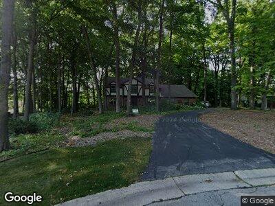
15185 Kings Ridge Ct Brookfield, WI 53005
Estimated Value: $627,000 - $704,105
3
Beds
3
Baths
2,902
Sq Ft
$229/Sq Ft
Est. Value
About This Home
This home is located at 15185 Kings Ridge Ct, Brookfield, WI 53005 and is currently estimated at $664,026, approximately $228 per square foot. 15185 Kings Ridge Ct is a home located in Waukesha County with nearby schools including Dixon Elementary School, Pilgrim Park Middle School, and Brookfield East High School.
Ownership History
Date
Name
Owned For
Owner Type
Purchase Details
Closed on
Mar 2, 2012
Sold by
Nickols Ann Marie
Bought by
Branson Gregory J and Branson Mariagnes
Current Estimated Value
Home Financials for this Owner
Home Financials are based on the most recent Mortgage that was taken out on this home.
Original Mortgage
$294,500
Interest Rate
4.01%
Mortgage Type
New Conventional
Purchase Details
Closed on
Oct 7, 2009
Sold by
Nickols George
Bought by
Nickols George and George Nickols Living Trust
Create a Home Valuation Report for This Property
The Home Valuation Report is an in-depth analysis detailing your home's value as well as a comparison with similar homes in the area
Home Values in the Area
Average Home Value in this Area
Purchase History
| Date | Buyer | Sale Price | Title Company |
|---|---|---|---|
| Branson Gregory J | $310,000 | None Available | |
| Nickols George | -- | None Available |
Source: Public Records
Mortgage History
| Date | Status | Borrower | Loan Amount |
|---|---|---|---|
| Open | Branson Gregory J | $138,000 | |
| Closed | Branson Gregory J | $56,000 | |
| Open | Branson Gregory J | $392,000 | |
| Closed | Branson Gregory J | $98,500 | |
| Closed | Branson Gregory J | $34,000 | |
| Closed | Branson Gregory J | $294,500 |
Source: Public Records
Tax History Compared to Growth
Tax History
| Year | Tax Paid | Tax Assessment Tax Assessment Total Assessment is a certain percentage of the fair market value that is determined by local assessors to be the total taxable value of land and additions on the property. | Land | Improvement |
|---|---|---|---|---|
| 2024 | $8,583 | $620,100 | $160,500 | $459,600 |
| 2023 | $8,694 | $620,100 | $160,500 | $459,600 |
| 2022 | $7,837 | $470,600 | $149,800 | $320,800 |
| 2021 | $8,165 | $463,200 | $149,800 | $313,400 |
| 2020 | $9,299 | $463,200 | $149,800 | $313,400 |
| 2019 | $9,034 | $463,200 | $149,800 | $313,400 |
| 2018 | $7,823 | $374,900 | $140,000 | $234,900 |
| 2017 | $5,961 | $374,900 | $140,000 | $234,900 |
| 2016 | $5,662 | $347,900 | $140,000 | $207,900 |
| 2015 | $5,616 | $347,900 | $140,000 | $207,900 |
| 2014 | $5,663 | $347,900 | $140,000 | $207,900 |
| 2013 | $5,663 | $347,900 | $140,000 | $207,900 |
Source: Public Records
Map
Nearby Homes
- 2645 Woodhill Ct
- 15250 Clifford Ct
- 15165 W Burleigh Rd
- 2950 Monterey Blvd
- 2985 Emery Dr
- 2380 Mound Zion Woods Ct
- 15230 Arrowhead Place
- 13870 Larsen Ct
- 15965 Raven Rock Rd
- 16080 Linnan Ct
- Lt0 Pilgrim Rd
- 3325 Bradee Rd
- 14245 Heatherwood Ct
- 3635 Chesterwood Ct
- 16870 Drake Ct
- 3920 Pilgrim Rd
- 2975 River Birch Dr Unit F
- 3720 Fiebrantz Dr
- 2605 Maple Hill Ln
- 17565 West Ln