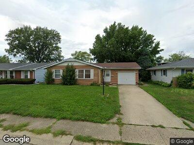
1542 E Hinsdale Ave Decatur, IL 62526
Moundford NeighborhoodEstimated Value: $106,000 - $123,000
3
Beds
2
Baths
1,453
Sq Ft
$77/Sq Ft
Est. Value
About This Home
This home is located at 1542 E Hinsdale Ave, Decatur, IL 62526 and is currently estimated at $112,471, approximately $77 per square foot. 1542 E Hinsdale Ave is a home located in Macon County with nearby schools including Parsons Elementary School, Stephen Decatur Middle School, and Our Lady of Lourdes School.
Ownership History
Date
Name
Owned For
Owner Type
Purchase Details
Closed on
Jul 6, 2012
Sold by
Russell Martin D and Dalton Russell Belind A
Bought by
Dominguez Jesus and Dominguez Maricela
Current Estimated Value
Home Financials for this Owner
Home Financials are based on the most recent Mortgage that was taken out on this home.
Original Mortgage
$73,542
Interest Rate
4.25%
Mortgage Type
FHA
Purchase Details
Closed on
Jul 1, 2012
Home Financials for this Owner
Home Financials are based on the most recent Mortgage that was taken out on this home.
Original Mortgage
$73,542
Interest Rate
4.25%
Mortgage Type
FHA
Purchase Details
Closed on
Nov 1, 1992
Create a Home Valuation Report for This Property
The Home Valuation Report is an in-depth analysis detailing your home's value as well as a comparison with similar homes in the area
Home Values in the Area
Average Home Value in this Area
Purchase History
| Date | Buyer | Sale Price | Title Company |
|---|---|---|---|
| Dominguez Jesus | $75,000 | None Available | |
| -- | $74,900 | -- | |
| -- | $45,500 | -- |
Source: Public Records
Mortgage History
| Date | Status | Borrower | Loan Amount |
|---|---|---|---|
| Open | Dominguez Jesus | $65,200 | |
| Closed | Dominguez Jesus | $73,542 | |
| Closed | Dominguez Jesus | $2,247 |
Source: Public Records
Tax History Compared to Growth
Tax History
| Year | Tax Paid | Tax Assessment Tax Assessment Total Assessment is a certain percentage of the fair market value that is determined by local assessors to be the total taxable value of land and additions on the property. | Land | Improvement |
|---|---|---|---|---|
| 2023 | $1,871 | $24,579 | $4,119 | $20,460 |
| 2022 | $1,735 | $22,796 | $3,820 | $18,976 |
| 2021 | $1,727 | $22,652 | $3,572 | $19,080 |
| 2020 | $2,009 | $24,831 | $3,915 | $20,916 |
| 2019 | $2,009 | $24,831 | $3,915 | $20,916 |
| 2018 | $2,002 | $25,009 | $3,943 | $21,066 |
| 2017 | $2,012 | $25,149 | $3,965 | $21,184 |
| 2016 | $2,034 | $25,210 | $3,975 | $21,235 |
| 2015 | $1,934 | $24,911 | $3,928 | $20,983 |
| 2014 | $1,813 | $24,911 | $3,928 | $20,983 |
| 2013 | $1,879 | $25,681 | $4,049 | $21,632 |
Source: Public Records
Map
Nearby Homes
- 1606 E Barrington Ave
- 1627 E Winnetka Ave
- 4065 N Neely Ave
- 45 Larry Dr
- 3939 NE Court Dr
- 134 W Karen Dr
- 109 Canterbury Dr
- 67 Oriole Dr
- 234 W Karen Dr
- 1915 E Pythian Ave
- 2476 Steele Ct Unit ST2476
- 396 W Ash Ave
- 2444 Dunn Dr
- 5 Greenridge Dr
- 645 Crestline Dr
- 4081 Sheffield Ct
- 18 Grays Ln
- 2078 N Charles St
- 4437 Lawson Dr
- 3867 N Burchard Dr