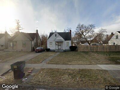
15650 Lappin St Detroit, MI 48205
Regent Park NeighborhoodEstimated Value: $50,010 - $65,000
3
Beds
1
Bath
891
Sq Ft
$65/Sq Ft
Est. Value
About This Home
This home is located at 15650 Lappin St, Detroit, MI 48205 and is currently estimated at $58,253, approximately $65 per square foot. 15650 Lappin St is a home located in Wayne County with nearby schools including Edward 'Duke' Ellington Conservatory of Music and Art, Charles L. Spain Elementary-Middle School, and Denby High School.
Ownership History
Date
Name
Owned For
Owner Type
Purchase Details
Closed on
Mar 5, 2009
Sold by
Dobrzechowski Michael
Bought by
Uc Investments Llc
Current Estimated Value
Purchase Details
Closed on
Feb 12, 2007
Sold by
Ribarsky Gary
Bought by
Dobrzechowski Michael
Purchase Details
Closed on
Jan 20, 2004
Sold by
Lefaive Gerald J
Bought by
Ribarsky Gary
Purchase Details
Closed on
Jan 13, 2004
Sold by
Lefaive Richard A and Lefaive Linda
Bought by
Ribarsky Gary
Create a Home Valuation Report for This Property
The Home Valuation Report is an in-depth analysis detailing your home's value as well as a comparison with similar homes in the area
Home Values in the Area
Average Home Value in this Area
Purchase History
| Date | Buyer | Sale Price | Title Company |
|---|---|---|---|
| Uc Investments Llc | $27,450 | Greco | |
| Dobrzechowski Michael | -- | Colonial Title Company | |
| Dobrzechowski Michael | $20,000 | Colonial Title Company | |
| Ribarsky Gary | $10,000 | -- | |
| Ribarsky Gary | $10,000 | -- |
Source: Public Records
Tax History Compared to Growth
Tax History
| Year | Tax Paid | Tax Assessment Tax Assessment Total Assessment is a certain percentage of the fair market value that is determined by local assessors to be the total taxable value of land and additions on the property. | Land | Improvement |
|---|---|---|---|---|
| 2024 | $767 | $19,400 | $0 | $0 |
| 2023 | $743 | $15,800 | $0 | $0 |
| 2022 | $784 | $15,000 | $0 | $0 |
| 2021 | $766 | $10,300 | $0 | $0 |
| 2020 | $766 | $8,800 | $0 | $0 |
| 2019 | $756 | $8,500 | $0 | $0 |
| 2018 | $679 | $7,600 | $0 | $0 |
| 2017 | $106 | $8,400 | $0 | $0 |
| 2016 | $732 | $13,700 | $0 | $0 |
| 2015 | $552 | $13,700 | $0 | $0 |
| 2013 | $535 | $18,995 | $0 | $0 |
| 2010 | -- | $27,850 | $1,082 | $26,768 |
Source: Public Records
Map
Nearby Homes
- 15651 E 7 Mile Rd
- 15649 E 7 Mile Rd
- 15600 Fordham St
- 15909 Maddelein St
- 18930 Morang Dr
- 18914 Morang Ave
- 15860 Fordham St
- 15596 Eastwood St
- 15834 Manning St
- 15919 Eastwood St
- 16093 Maddelein St
- 15243 Fordham St
- 15256 Fordham St
- 15480 Saratoga St
- 15265 Eastwood St
- 15668 Tacoma St
- 15044 Lappin St
- 16211 Maddelein St
- 18640 Morang Dr
- 16100 Liberal St