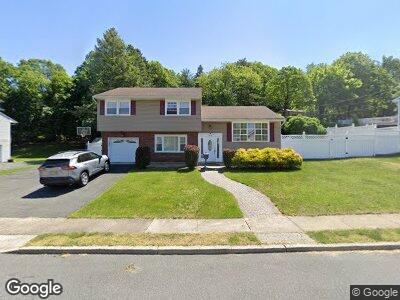
165 Williams Dr Woodland Park, NJ 07424
Estimated Value: $642,000 - $775,000
--
Bed
--
Bath
1,634
Sq Ft
$416/Sq Ft
Est. Value
About This Home
This home is located at 165 Williams Dr, Woodland Park, NJ 07424 and is currently estimated at $679,023, approximately $415 per square foot. 165 Williams Dr is a home located in Passaic County with nearby schools including Charles Olbon School, Memorial Middle School, and Beatrice Gilmore Elementary School.
Ownership History
Date
Name
Owned For
Owner Type
Purchase Details
Closed on
Jun 24, 2011
Sold by
Cuccinello Mark and Cucaro Francesca
Bought by
Alnsour Amjad and Alnsour Saba
Current Estimated Value
Home Financials for this Owner
Home Financials are based on the most recent Mortgage that was taken out on this home.
Original Mortgage
$373,500
Interest Rate
4.62%
Mortgage Type
Purchase Money Mortgage
Purchase Details
Closed on
Jun 28, 2001
Sold by
Zeliznak Mary
Bought by
Cuccinello Mark and Cucaro Francesca
Home Financials for this Owner
Home Financials are based on the most recent Mortgage that was taken out on this home.
Original Mortgage
$200,000
Interest Rate
7.2%
Mortgage Type
Purchase Money Mortgage
Create a Home Valuation Report for This Property
The Home Valuation Report is an in-depth analysis detailing your home's value as well as a comparison with similar homes in the area
Home Values in the Area
Average Home Value in this Area
Purchase History
| Date | Buyer | Sale Price | Title Company |
|---|---|---|---|
| Alnsour Amjad | $406,000 | -- | |
| Cuccinello Mark | $260,000 | -- |
Source: Public Records
Mortgage History
| Date | Status | Borrower | Loan Amount |
|---|---|---|---|
| Open | Alnsour Amjad | $312,000 | |
| Closed | Alnsour Amjad | $373,500 | |
| Previous Owner | Cuccinello Mark | $250,000 | |
| Previous Owner | Cuccinello Mark | $200,000 |
Source: Public Records
Tax History Compared to Growth
Tax History
| Year | Tax Paid | Tax Assessment Tax Assessment Total Assessment is a certain percentage of the fair market value that is determined by local assessors to be the total taxable value of land and additions on the property. | Land | Improvement |
|---|---|---|---|---|
| 2024 | $11,793 | $359,200 | $169,700 | $189,500 |
| 2022 | $11,811 | $359,200 | $169,700 | $189,500 |
| 2021 | $11,656 | $359,200 | $169,700 | $189,500 |
| 2020 | $11,444 | $359,200 | $169,700 | $189,500 |
| 2019 | $11,189 | $359,200 | $169,700 | $189,500 |
| 2018 | $11,354 | $359,200 | $169,700 | $189,500 |
| 2017 | $11,060 | $359,200 | $169,700 | $189,500 |
| 2016 | $10,884 | $359,200 | $169,700 | $189,500 |
| 2015 | $10,647 | $359,200 | $169,700 | $189,500 |
| 2014 | $10,415 | $385,300 | $184,700 | $200,600 |
Source: Public Records
Map
Nearby Homes
- 62 Rolling Views Dr
- 72 Rolling Views Dr
- 32 Winding Way
- 767 Rifle Camp Rd
- 12 Borkowski Place
- 28 Overmount Ave
- 238 Woodland Dr Unit 7
- 238 Woodland Drive Unit 7 Unit 7
- 40 Meriline Ave
- 113 Hillcrest Ave
- 12 Meriline Ave
- 17 Filippone Way
- 80-84 Cedarhurst Ave
- 18 Cedarhurst Ave
- 3 Parkside Terrace Unit 2D
- 65 Hemlock Rd
- 9 Cliff Rd Unit A3
- 37 Highview Dr
- 375 Rifle Camp Rd
- 375 Rifle Camp Rd Unit 106