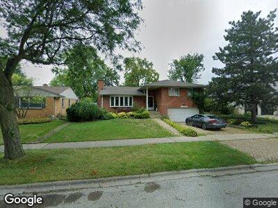
170 Michael John Dr Park Ridge, IL 60068
Estimated Value: $552,749 - $715,000
4
Beds
3
Baths
1,585
Sq Ft
$405/Sq Ft
Est. Value
About This Home
This home is located at 170 Michael John Dr, Park Ridge, IL 60068 and is currently estimated at $641,187, approximately $404 per square foot. 170 Michael John Dr is a home located in Cook County with nearby schools including Eugene Field Elementary School, Emerson Middle School, and Maine South High School.
Ownership History
Date
Name
Owned For
Owner Type
Purchase Details
Closed on
Apr 28, 1994
Sold by
Rehwald R Thomas and Rehwald Rae Ann
Bought by
Maigler Lawrence J and Maigler Pamela A
Current Estimated Value
Home Financials for this Owner
Home Financials are based on the most recent Mortgage that was taken out on this home.
Original Mortgage
$190,455
Interest Rate
7.84%
Create a Home Valuation Report for This Property
The Home Valuation Report is an in-depth analysis detailing your home's value as well as a comparison with similar homes in the area
Home Values in the Area
Average Home Value in this Area
Purchase History
| Date | Buyer | Sale Price | Title Company |
|---|---|---|---|
| Maigler Lawrence J | $281,000 | -- |
Source: Public Records
Mortgage History
| Date | Status | Borrower | Loan Amount |
|---|---|---|---|
| Open | Maigler Lawrence J | $200,000 | |
| Closed | Maigler Lawrence J | $208,500 | |
| Closed | Maigler Lawrence J | $40,000 | |
| Closed | Maigler Lawrence J | $190,455 |
Source: Public Records
Tax History Compared to Growth
Tax History
| Year | Tax Paid | Tax Assessment Tax Assessment Total Assessment is a certain percentage of the fair market value that is determined by local assessors to be the total taxable value of land and additions on the property. | Land | Improvement |
|---|---|---|---|---|
| 2024 | $10,477 | $40,536 | $10,088 | $30,448 |
| 2023 | $10,477 | $43,706 | $10,088 | $33,618 |
| 2022 | $10,477 | $43,706 | $10,088 | $33,618 |
| 2021 | $7,741 | $28,782 | $7,178 | $21,604 |
| 2020 | $7,500 | $28,782 | $7,178 | $21,604 |
| 2019 | $8,380 | $35,581 | $7,178 | $28,403 |
| 2018 | $8,386 | $32,741 | $6,208 | $26,533 |
| 2017 | $8,368 | $32,741 | $6,208 | $26,533 |
| 2016 | $8,298 | $32,741 | $6,208 | $26,533 |
| 2015 | $8,502 | $30,190 | $5,432 | $24,758 |
| 2014 | $8,351 | $30,190 | $5,432 | $24,758 |
| 2013 | $7,893 | $30,190 | $5,432 | $24,758 |
Source: Public Records
Map
Nearby Homes
- 108 E Edgemont Ln
- 751 East Ave
- 8212 N Ozanam Ave
- 8304 N Milwaukee Ave
- 8282 N Elmore St
- 8209 N Oleander Ave
- 7727 W Jerome St
- 430 Wisner St
- 7714 W Fargo Ave
- 7509 N Oleander Ave
- 7942 N Octavia Ave
- 8311 N Olcott Ave
- 229 East Ave
- 7343 W Howard St
- 901 Oakton St
- 7422 N Olcott Ave
- 909 Oakton St
- 7825 N Oconto Ave
- 8013 N Oconto Ave
- 205 N Merrill St