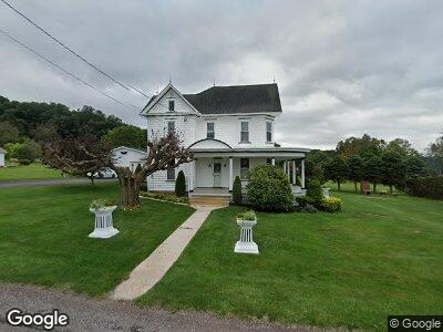
175 11th Ave Meyersdale, PA 15552
Summit Township NeighborhoodEstimated Value: $126,466 - $229,000
3
Beds
3
Baths
2,720
Sq Ft
$72/Sq Ft
Est. Value
About This Home
This home is located at 175 11th Ave, Meyersdale, PA 15552 and is currently estimated at $195,867, approximately $72 per square foot. 175 11th Ave is a home located in Somerset County with nearby schools including Meyersdale Area Elementary School, Meyersdale Area Middle School, and Meyersdale Area High School.
Ownership History
Date
Name
Owned For
Owner Type
Purchase Details
Closed on
Feb 2, 2022
Sold by
Marie Clapper Kim and Marie James Elwin
Bought by
Clapper Jude C and Blough Andrea C
Current Estimated Value
Home Financials for this Owner
Home Financials are based on the most recent Mortgage that was taken out on this home.
Original Mortgage
$64,000
Outstanding Balance
$60,763
Interest Rate
3.55%
Mortgage Type
Seller Take Back
Estimated Equity
$114,396
Purchase Details
Closed on
May 3, 2020
Sold by
Clapper Kim Marie and Miller Elwin James
Bought by
Clapper Kim Marie and Miller Elwin James
Create a Home Valuation Report for This Property
The Home Valuation Report is an in-depth analysis detailing your home's value as well as a comparison with similar homes in the area
Home Values in the Area
Average Home Value in this Area
Purchase History
| Date | Buyer | Sale Price | Title Company |
|---|---|---|---|
| Clapper Jude C | $164,000 | Barbera Melvin & Svonavec Llp | |
| Clapper Kim Marie | -- | None Available |
Source: Public Records
Mortgage History
| Date | Status | Borrower | Loan Amount |
|---|---|---|---|
| Open | Clapper Jude C | $64,000 | |
| Previous Owner | Clapper Kim Marle | $40,000 |
Source: Public Records
Tax History Compared to Growth
Tax History
| Year | Tax Paid | Tax Assessment Tax Assessment Total Assessment is a certain percentage of the fair market value that is determined by local assessors to be the total taxable value of land and additions on the property. | Land | Improvement |
|---|---|---|---|---|
| 2024 | $1,225 | $27,850 | $0 | $0 |
| 2023 | $1,110 | $27,850 | $0 | $0 |
| 2022 | $1,110 | $27,850 | $0 | $0 |
| 2021 | $1,110 | $27,850 | $0 | $0 |
| 2020 | $1,103 | $27,660 | $0 | $0 |
| 2019 | $1,103 | $27,660 | $0 | $0 |
| 2018 | $1,081 | $27,660 | $6,280 | $21,380 |
| 2017 | $1,081 | $27,660 | $6,280 | $21,380 |
| 2016 | -- | $27,660 | $6,280 | $21,380 |
| 2015 | -- | $27,650 | $6,275 | $21,375 |
| 2014 | -- | $27,650 | $6,275 | $21,375 |
Source: Public Records
Map
Nearby Homes
- 212 Fike Hollow Rd
- 219 Large St
- 116 Meyers Ave
- 131 Meyers Ave
- 21 Broadway St
- 314 Olinger St
- 7878 Mount Davis Rd
- 296 Cemetary Rd
- 0 Miller Run Rd Unit 1655156
- 9285 Mason Dixon Hwy
- 17 Grant St
- 161 Ord St
- 107 Grant St
- 145 Corliss St
- 137 Grant St
- 000 Warren's Mill Rd
- 12 Windswept Ln
- P 41 Pocahontas Rd
- 1044 Oldmill Rd
- 18928 National Pike