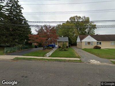
180 Atlantic Ave Long Branch, NJ 07740
Estimated Value: $414,340 - $489,000
2
Beds
1
Bath
728
Sq Ft
$603/Sq Ft
Est. Value
About This Home
This home is located at 180 Atlantic Ave, Long Branch, NJ 07740 and is currently estimated at $438,835, approximately $602 per square foot. 180 Atlantic Ave is a home located in Monmouth County with nearby schools including Long Branch High School and Holy Trinity School.
Ownership History
Date
Name
Owned For
Owner Type
Purchase Details
Closed on
Apr 15, 2016
Sold by
Burkimsher Elizabeth H
Bought by
Burkimsher Elizabeth H and Burkimsher William P
Current Estimated Value
Home Financials for this Owner
Home Financials are based on the most recent Mortgage that was taken out on this home.
Interest Rate
3.58%
Purchase Details
Closed on
Feb 26, 1999
Sold by
Clayton Clarence
Bought by
Burkimsher Elizabeth
Home Financials for this Owner
Home Financials are based on the most recent Mortgage that was taken out on this home.
Original Mortgage
$72,000
Interest Rate
6.83%
Create a Home Valuation Report for This Property
The Home Valuation Report is an in-depth analysis detailing your home's value as well as a comparison with similar homes in the area
Home Values in the Area
Average Home Value in this Area
Purchase History
| Date | Buyer | Sale Price | Title Company |
|---|---|---|---|
| Burkimsher Elizabeth H | -- | -- | |
| Burkimsher Elizabeth | $75,000 | -- |
Source: Public Records
Mortgage History
| Date | Status | Borrower | Loan Amount |
|---|---|---|---|
| Closed | Burkimsher Elizabeth H | -- | |
| Previous Owner | Burkimsher Elizabeth | $72,000 |
Source: Public Records
Tax History Compared to Growth
Tax History
| Year | Tax Paid | Tax Assessment Tax Assessment Total Assessment is a certain percentage of the fair market value that is determined by local assessors to be the total taxable value of land and additions on the property. | Land | Improvement |
|---|---|---|---|---|
| 2024 | $4,468 | $317,300 | $216,500 | $100,800 |
| 2023 | $4,468 | $287,700 | $191,500 | $96,200 |
| 2022 | $4,262 | $248,500 | $163,800 | $84,700 |
| 2021 | $4,055 | $213,000 | $133,800 | $79,200 |
| 2020 | $4,318 | $206,600 | $127,800 | $78,800 |
| 2019 | $4,055 | $192,900 | $117,800 | $75,100 |
| 2018 | $3,936 | $186,200 | $113,800 | $72,400 |
| 2017 | $3,664 | $177,800 | $106,800 | $71,000 |
| 2016 | $3,698 | $183,000 | $113,800 | $69,200 |
| 2015 | $3,075 | $138,100 | $85,300 | $52,800 |
| 2014 | $3,142 | $148,700 | $101,800 | $46,900 |
Source: Public Records
Map
Nearby Homes
- 154 Airsdale Ave
- 15 Airsdale Ave
- 323 Florence Ave
- 6 Port Au Peck Ave
- 86 Shrewsbury Dr
- 28 Patten Ln
- 172 Chelton Ave
- 103 Shore Dr
- 142 Rosewood Ave
- 227 Liberty St
- 140 Joline Ave
- 230 Hamilton Ave
- 129 Joline Ave
- 27 Wardell Cir
- 118 Joline Ave
- 432 Ocean Blvd Unit 405
- 432 Ocean Blvd Unit 109
- 138 Sampson Place
- 580 Patten Ave Unit 51
- 580 Patten Ave Unit 18